National Weather Service United States Department of Commerce
Click a location below for detailed forecast.

Last Map Update: Mon, Apr 28, 2025 at 6:44:24 am CDT
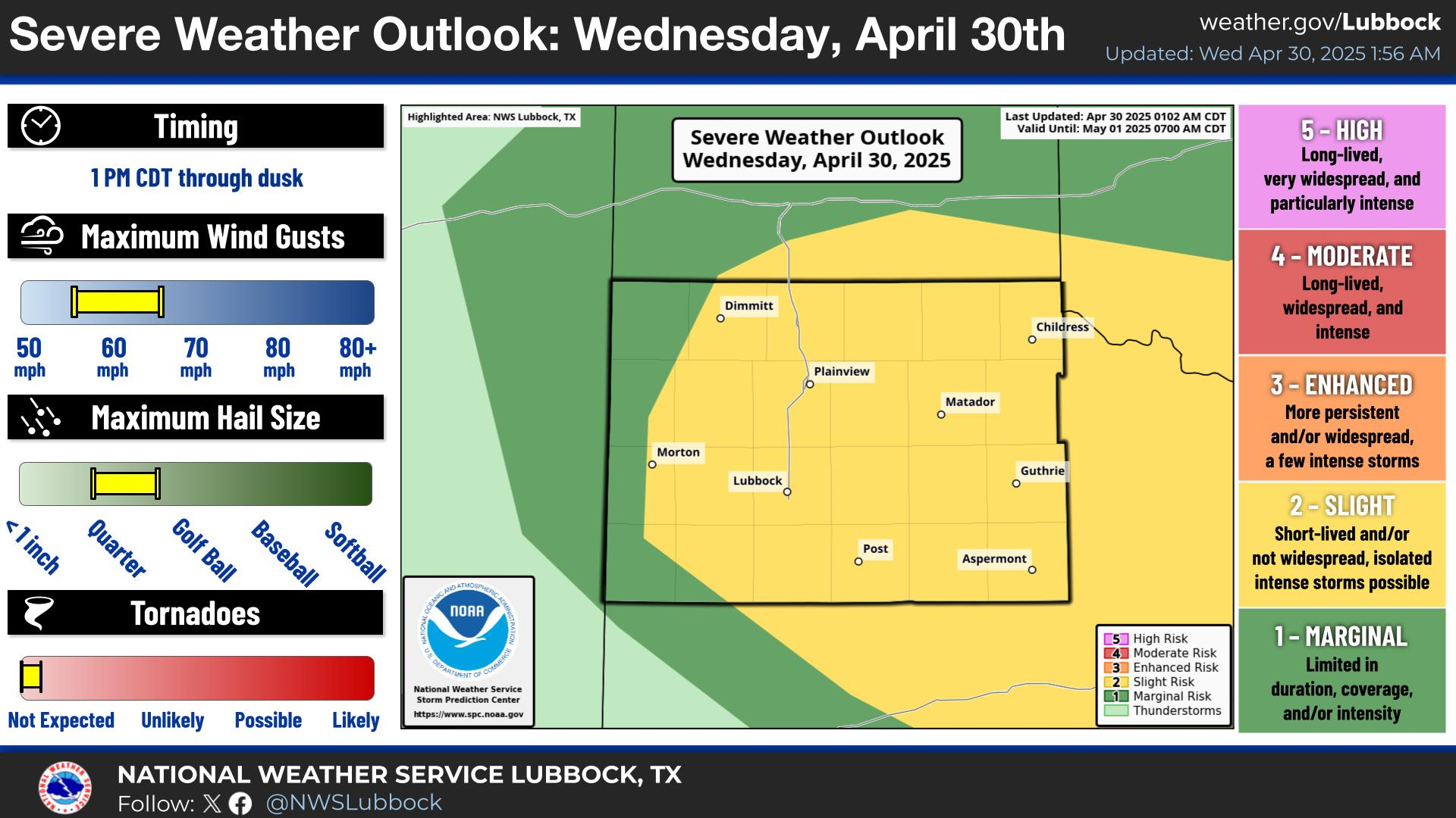
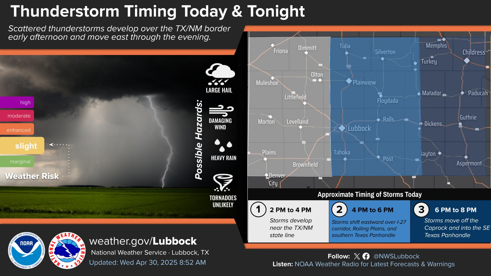
A dryline will return on Monday afternoon leading to warm temperatures and increased chances of storms, especially off the Caprock especially late this afternoon. Some storms will become severe with large hail, damaging winds, and possibly tornadoes.
Isolated to scattered storms will continue tonight into early Tuesday morning with highest chances over the Rolling Plains. Some storms could be severe with large hail.
Severe storms are forecast to develop along and south of a stalled front draped across the Caprock and Rolling Plains. The primary hazards will be very large hail up to baseball size and damaging wind gusts up to 70 mph. A tornado or two will also be possible through the afternoon and into the evening hours, mainly in the Rolling Plains.
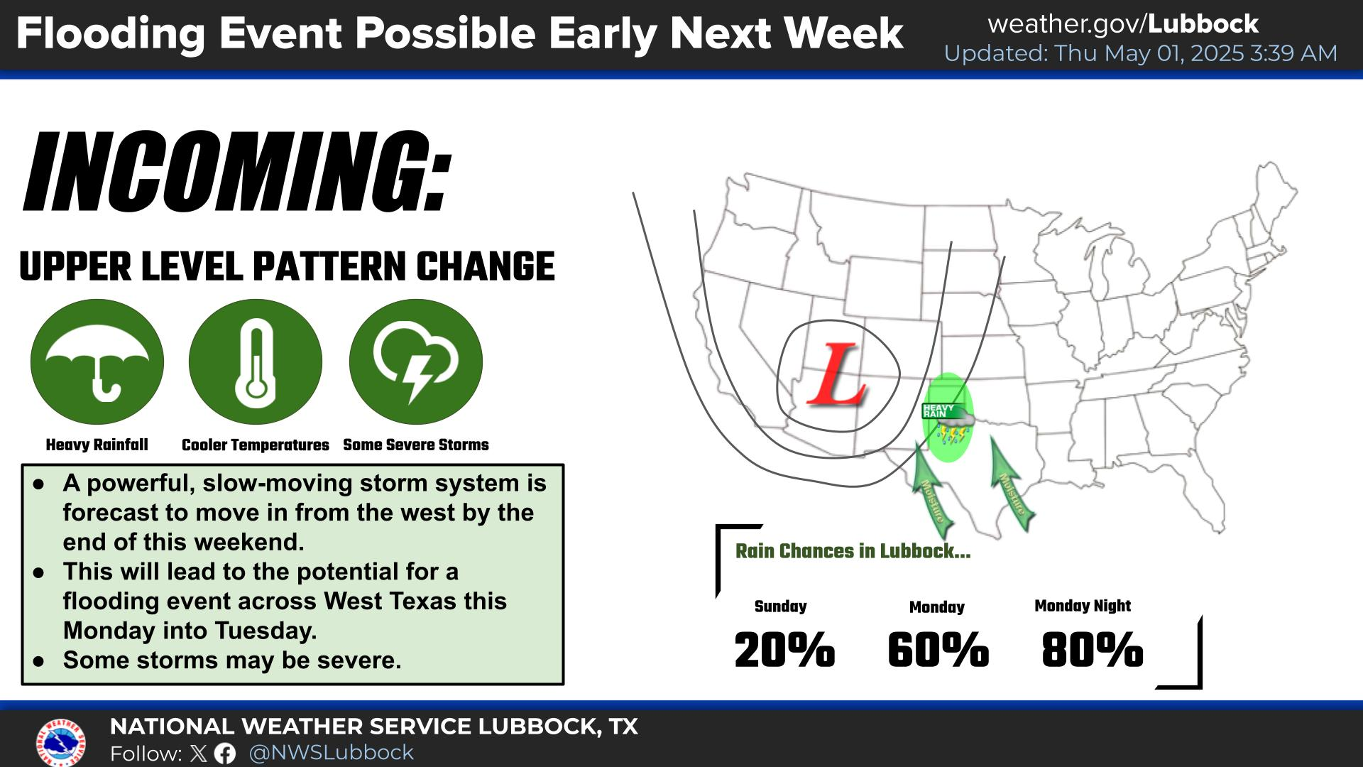
Thunderstorms will grow into a large complex and remain anchored in the Rolling Plains late Tuesday night into Wednesday morning. Repeated heavy rainfall will result in widespread flash flooding, especially across the Rolling Plains. Localized pockets of heavy rainfall may occur along the I-27 corridor.
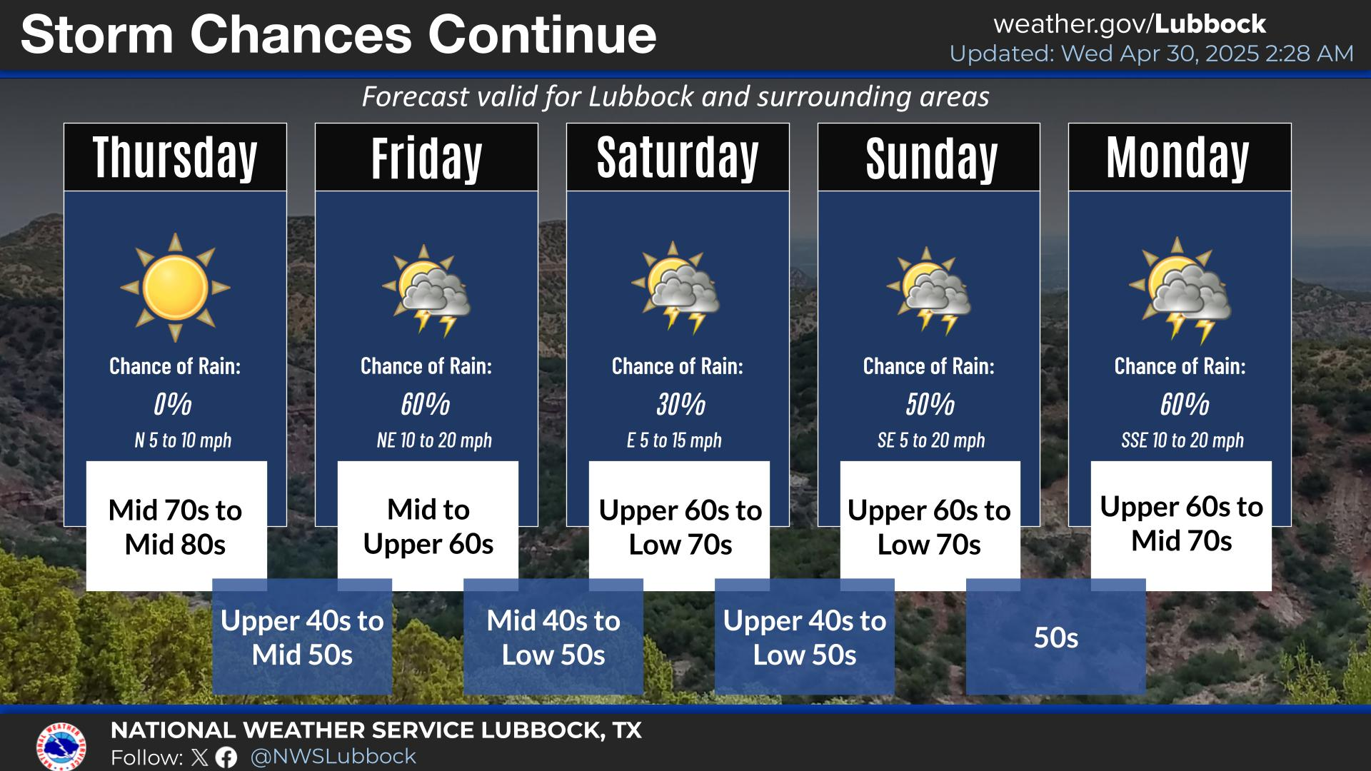
A stormy week is ahead for Lubbock and the surrounding areas, with daily chances for thunderstorms, some severe, throughout the week and into this weekend. There will be a short break from storm chances Thursday.


Local Weather History For April 28th...
1942: A significant tornado struck the city of Crowell (Foard County) killing 11 people and injurying 250. Damage was
estimated at $1.5M.