National Weather Service United States Department of Commerce
Click a location below for detailed forecast.

Last Map Update: Tue, Feb 4, 2025 at 8:40:53 pm CST
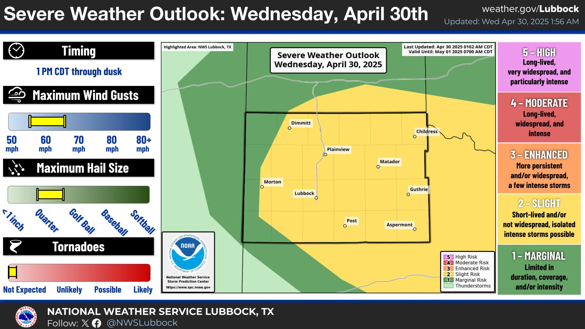
A Fire Weather Watch is in effect on Wednesday from 11 am through 7 pm for strong winds and low relative humidity values.
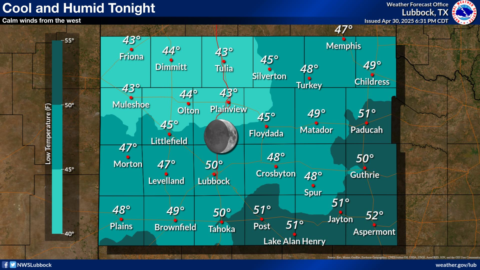
Increased moisture across the region will lead to the potential for fog development overnight. Areas off the Caprock may even see drizzle mix in. Localized areas of dense fog cannot be ruled out at this time, with reduced visibilities possible.
Very warm and breezy conditions return tomorrow, with highs ranging from the mid 70s to mid 80s. Southwest winds of 15-25 mph with gusts to 35 mph are possible for portions of the SW Panhandle and South Plains.
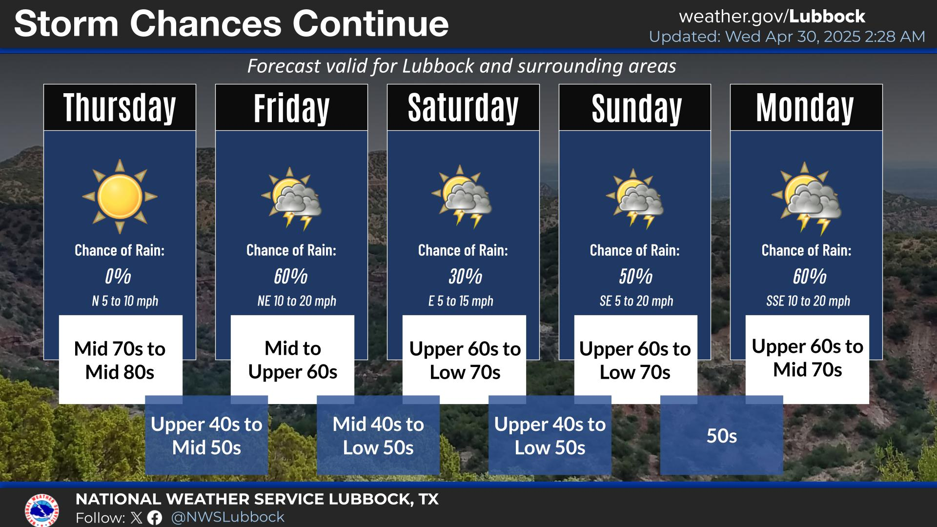
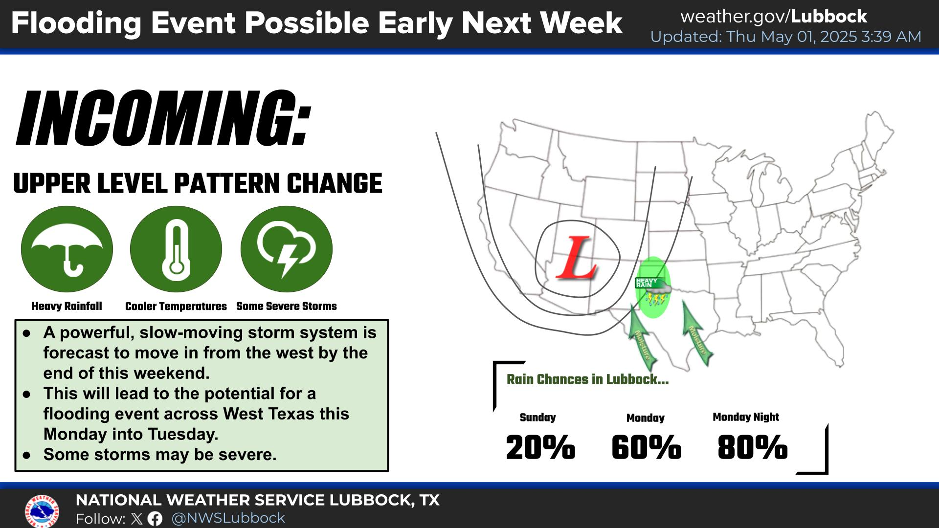
Very warm temperatures and dry weather will continue through Saturday. A strong cold front will bring colder temperatures early next week.


Local Weather History For February 4th...
1961 (4th-6th): Heavy snow began on the 4th in the TX Panhandle and spread southward into the Big Bend and as far east as
Dallas on the 5th and 6th. Although all of the South Plains and Rolling Plains received heavy snow, the greatest totals of
8-12 inches fell in the eastern TX Panhandle with similar amounts farther south near Sweetwater.