National Weather Service United States Department of Commerce
Click a location below for detailed forecast.

Last Map Update: Fri, Jan 10, 2025 at 3:00:20 am CST

A Winter Weather Advisory remains in effect for the entire forecast area until 6 AM CST Friday, January 10th. Additional snow accumulations of less than one inch are now expected. Blowing snow is expected across the far southwestern Texas Panhandle tonight, and may result in localized reductions in visibility. Please use caution while driving tonight due to the potential for slick roadways.
Snow showers will linger across most of the forecast area tonight. Blowing snow is expected across the far southwestern Texas Panhandle and northwestern South Plains. Localized reductions in visibility will be possible, especially with snow drifts.
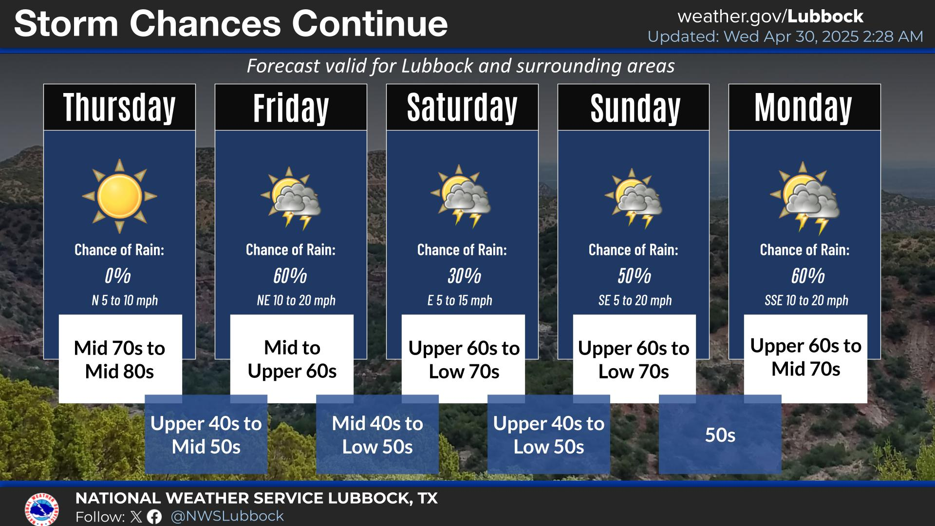
Windy conditions out of the north will gradually taper off by the afternoon hours, which will keep it on the colder side tomorrow. However, sunshine will return as clouds finally clear to the east of the forecast area.
Warmer temperatures on Saturday with another cold front Saturday evening. Temperatures below seasonal averages Sunday through Wednesday next week.


Local Weather History For January 10th...
1993: Widespread light freezing rain fell across the South Plains and Permian Basin from the afternoon of the 10th through
the morning of the 11th. While the freezing rain itself did little damage, the slick roads resulting from the ice caused
nearly 150 minor accidents in the Lubbock and Midland/Odessa areas.