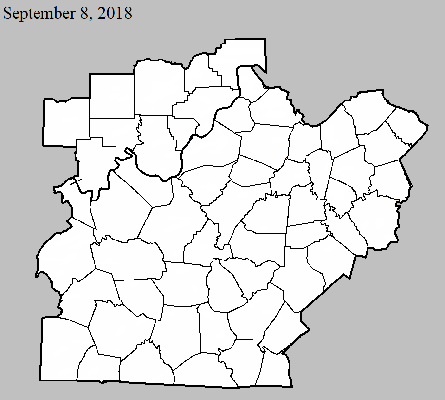
September 8, 2018
County: Perry
EF-Scale: EF0
Deaths: 0
Injuries: 0
Path width: 80 yards
Path length: 1.8 miles
Time: 2:38pm - 2:44pm EDT
Notes: The tornado touched down on Main Street in Tell City, midway between Steuben and Winkelreid Streets, doing minor damage to one roof and bending an amateur radio antenna tower. Moving east-northeast, the tornado damaged roofs and snapped several large tree limbs, as well as toppling a large but rotting tree that crushed the roof of a garage. A small shed was lofted out of its yard and became entangled in utility lines 30 yards to the northeast. As it crossed Winkelreid Street between 10th and 11th Streets, it buckled in a large overhead door and caused minor damage to the roof of the Indiana Southern Power building. Continuing to the northeast, a large metal carport was lifted and blown 50 feet north into neighboring trees, and more tree limbs were snapped, while a vinyl fence was blown northwest, as was a large trampoline and a patio umbrella, which was entangled in utility lines northwest of its origin. The tornado continued to cause tree damage as it moved east of 14th Street into a more rural area. On Brushy Fork Rd, the tornado snapped the trunks of three large trees, then continued northeast into a wooded area. The last evidence of the tornado was at the north end of Quaker Rd, where small branches were broken.
September 8, 2018
County: Hancock
EF-Scale: EF0
Deaths: 0
Injuries: 0
Path width: 50 yards
Path length: 5 miles
Time: 4:42pm - 4:54pm CDT
Notes: This tree-top level tornado did all of its damage 20 to 30 feet above ground. Never more than 50 yards wide, the first evidence of the tornado touching down was one mile south of the water tower on Thomas Lane, where it downed several large branches that blocked the road. Moving northeast over forested land, the next evidence was more tree trunks and branches snapped on Poplar Grove Rd just north of the intersection with Hilldale Rd. The tornado then continued to skip northeast, snapping branches and trunks to the west of Frank Luttrell Rd, before crossing the road and causing minor roof damage to the metal roof of a barn and snapping more tree limbs a third of a mile southeast of North Hancock Elementary School. The tornado dropped small branches and leaves along its path as it continued northeast. The last major tree damage was observed around a home on Adair Rd, where trees were uprooted and trunks snapped in a cyclonic pattern around the home. The only damage to the home, however, was minor roof damage from a branch falling on it. The storm then crossed Adair Rd, lifting somewhere in a wooded area west of a large pond near Beauchamp Lane, where residents witnessed its dissipation.