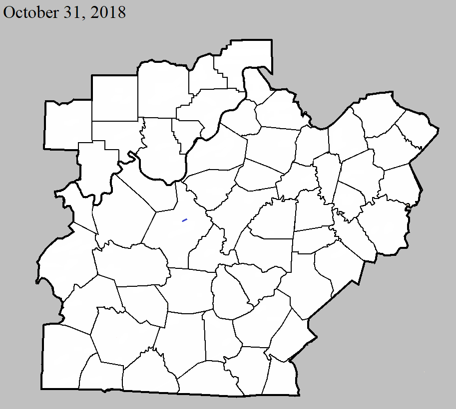
October 31, 2018
County: Hardin
EF-Scale: EF1
Deaths: 0
Injuries: 0
Path width: 80 yards
Path length: 2.5 miles
Time: 5:39pm - 5:43pm EDT
Notes: This brief, skipping tornado touched down initially as an EF0 near the east end of Labrador Way in a subdivision 1.5 miles south of Rineyville Elementary School. It did minor roof damage to two homes, tossed a trampoline into a neighboring home, causing siding damage, and pushed a large travel trailer onto a minivan, heavily damaging both. Mud was spattered onto the north-facing front of the home, where a porch column support was also moved slightly. From here it travelled east-northeast, snapping tree limbs as it skipped over mainly open pastureland until it reached Thomas Road. On the west side of Thomas Road, the tornado reached its greatest intensity and size, with winds of 100 mph. Here it damaged four outbuildings, completely destroying two - the largest being a 30 x 50 structure. The debris pattern from the four outbuildings and nearby trees with snapped trunks and limbs showed clear cyclonic rotation. Metal roofing and siding material were scattered nearly a quarter of a mile to the east-northeast, with some of it lofted into the trees of a heavily wooded area. Other building debris from the largest structure was blown to the northwest, and the south and east-facing walls of a number of structures were spattered with leaves and other ground-based vegetation. Three east-facing garage doors of one of the outbuildings were blown in, and damage was sustained to the vehicles in the driveway from downed tree limbs. Three homes in the area sustained roof and siding damage, including a 2x4 from one of the outbuildings blown through an exterior wall. The tornado became elevated as it continued east-northeast from Thomas Road, snapping a few tree limbs in a wooded area before briefly touching down one last time on Rineyville Road, where it littered the highway with tree limbs and tore the front porch off a home, vaulting the roof over the house into the back yard. Security cameras from a business next door captured the damage occurring as a wall of wind and water that occurred in less than half a minute. No further damage occurred to the east of this location as the tornado dissipated.