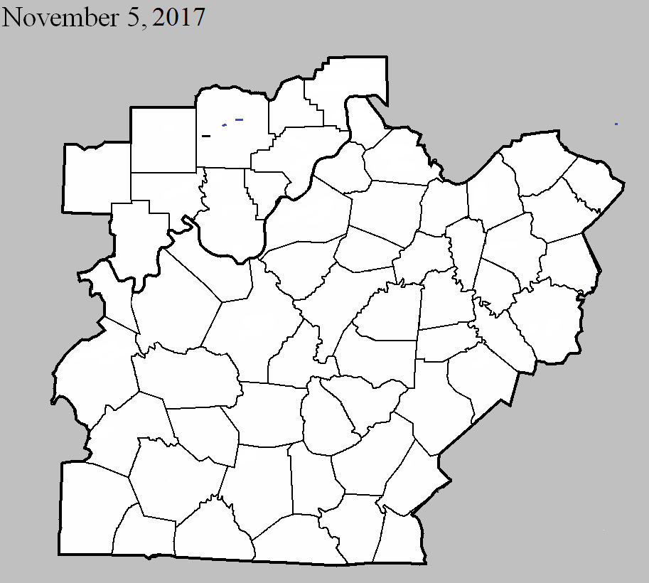
November 5, 2017
County: Washington, IN
EF-Scale: EF0
Deaths: 0
Injuries: 0
Path width: 350 yards
Path length: 0.6 miles
Time: 11:04pm EST
Notes: This touchdown occurred approximately 5 miles west of Salem on SW Washington School Rd. The touchdown occurred along a forested area which threw branches and large portions of maple and cedar trees over the road approximately 300 yards. The most concentrated damage was at 1630 SW Washington School Rd. There was an uprooted tree, along with shingle, gutter, roof, and barn damage. Several toys and pumpkins were turned and thrown cyclonically towards the west. A trampoline was thrown approximately a mile from the house along with lots of playground toys being thrown several hundred yards. There were some trees down further along the farmer`s field, but the tornado lifted after traveling approximately 0.6 miles where a few trees were topped where it lifted. The peak wind speed was 80 mph and most of the damage was at the tree top level.
November 5, 2017
County: Washington, IN
EF-Scale: EF1
Deaths: 0
Injuries: 0
Path width: 40 yards
Path length: 0.3 miles
Time: 11:16pm EST
Notes: The tornado touched down in downtown Salem at the Salem Feed Mill on South Water Street. There was significant damage on the upper portion of the feed mill approximately 70 feet off the ground along with some power poles being severely bent. A multi-business building was hit by the tornado with a large portion of its roof lifted and dropped on the Dinner Bell restaurant. There was extensive damage from falling brick. The tornado then hit a house on the corner of Cherry and South High Street resulting in roof and siding damage along with several sections of Cleveland Pear trees snapped. The tornado lifted quickly at the intersection.
November 5, 2017
County: Washington, IN
EF-Scale: EF1
Deaths: 0
Injuries: 0
Path width: 70 yards
Path length: 0.5 miles
Time: 11:20pm EST
Notes: The tornado touched down near the intersection of Canton Road and Howell Road. Severe damage was sustained to several barns, street signs, bird houses, and metal poles that were bent or snapped. A 500 gallon propane tank moved to the south 3 feet and became lodged against a grain storage building. There was an excellent signature of mud and dirt spattering cyclonically on a grain silo. The tornado was extremely narrow and mostly at tree top level with several power poles snapped near the top.