March 3, 2020
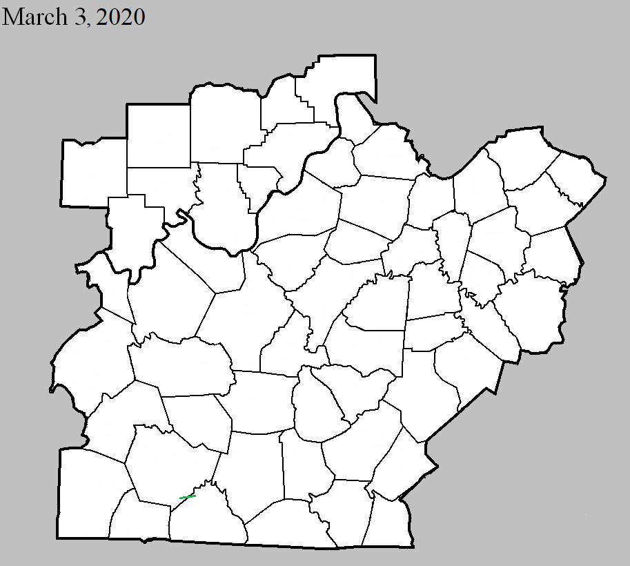
County: Warren, Allen
EF-Scale: EF2
Deaths: 0
Injuries: 0
Path width: 250 yards
Path length: 2.2 mile
Time: 12:15am CST
Notes: Most of the damage was around the southeastern portion of the Alvaton community. The tornado was preceded by straight-line winds, then just east of Claypool Boyce Road there was a distinct change in the tree pattern. Instead of just going to the northeast trees were now going to the northwest, north and northeast. A large 2 x 8 went flying and got wedged between the windshield wiper and the windshield of a vehicle but incredibly did not crack the windshield. This is where a small tornado formed within the straight-line wind path with winds between 80 and 85 mph. Residents reported half inch hail, followed by a surge in lightning, then quiet, then a 20 second loud roar with popping in their ears followed by complete silence again. Further east in the 500 block of Kara Court there was significant tree damage with the back of a house being uplifted and insulation being thrown upwind and downwind around the back of the house. Trees were laying in all directions with lots of twisting and many snapped trees. At the 200 block of Cross Creek Court was the clearest evidence of trees facing all eight cardinal directions. In this area many trees were snapped and uprooted. The survey team estimated well over 500 trees in a 1 mile stretch uprooted, snapped, or pushed over. Two of the snapped trees landed on pick-up trucks. Winds increased to 95 mph with a width of 225 yards. At the 2400 block of WG Talley Road was the most significant damage of the entire survey. Three barns were destroyed, 2 of them were concreted in strong firm footers. One of the barns was 30 x 80, one was 150 x 100, and one was 12 x 16 along with numerous sheds destroyed, and debris was thrown in all directions downwind up to 500 yards. A 5000 pound horse trailer was thrown to the northwest 70 yards. A very well-built family residence took a direct hit from the EF2 tornado, with the front side of the home having the plywood exposed and with most of the shingles gone but the rest of the house fully intact due to the house having all the proper clips and braces with rebar. Wind speeds at this point were 116 mph with a width of 250 yards. Tree damage continued into Allen County along Allen Springs Road. The tornado lifted just north of Bailey School Road in far NW Allen County.


 Weather Story
 Weather Map
 Local Radar