Louisville, KY
Weather Forecast Office
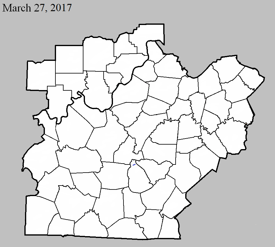
March 27, 2017
County: Metcalfe
EF-Scale: EF1
Deaths: 0
Injuries: 0
Path width: 100 yards
Path length: 0.3 mile
Time: 5:05pm - 5:06pm CDT
Notes: This squall line tornado was short lived but caused considerable destruction. It touched down about 0.3 mile southwest of Center, destroying two large barns and a small outbuilding in addition to taking the roof off of a small home. The front porch of a nearby home was briefly raised, causing the supports to fall out. The tornado moved northeast, streaming debris in a cyclonic pattern and into a nearby automotive repair shop that had one door blown in and another blown out. The large metal shop had minor roof damage, but was pierced in several locations by debris from the outbuildings to the southwest, and the entire facility was shifted slightly off of its foundation. Numerous vehicles near the repair shop sustained damage when hit by large debris from barns to the southwest. The cab of a small pickup was crushed by debris and the vehicle was blown onto KY 969. An RV parked next to the shop was blown into a utility pole. Several other vehicles had windows broken out. Metal roof panels from the buildings, along with insulation from a small home, were wrapped around trees as far as half a mile from their origin, with other small debris observed as far as 0.75 miles from the initial touchdown location.
Current Hazards
Hazardous Weather Outlook
Storm Prediction Center
Submit a Storm Report
Advisory/Warning Criteria
Radar
Fort Knox
Evansville
Fort Campbell
Nashville
Jackson
Wilmington
Latest Forecasts
El Nino and La Nina
Climate Prediction
Central U.S. Weather Stories
1-Stop Winter Forecast
Aviation
IDSS Forecast Points
Air Quality
Fire Weather
Recreation Forecasts
1-Stop Drought
Event Ready
1-Stop Severe Forecast
Past Weather
Climate Graphs
1-Stop Climate
CoCoRaHS
Local Climate Pages
Tornado History
Past Derby/Oaks/Thunder Weather
Football Weather
Local Information
About the NWS
Forecast Discussion
Items of Interest
Spotter Training
Regional Weather Map
Decision Support Page
Text Products
Science and Technology
Outreach
LMK Warning Area
About Our Office
Station History
Hazardous Weather Outlook
Local Climate Page
Tornado Machine Plans
Weather Enterprise Resources
US Dept of Commerce
National Oceanic and Atmospheric Administration
National Weather Service
Louisville, KY
6201 Theiler Lane
Louisville, KY 40229-1476
502-969-8842
Comments? Questions? Please Contact Us.


 Weather Story
 Weather Map
 Local Radar