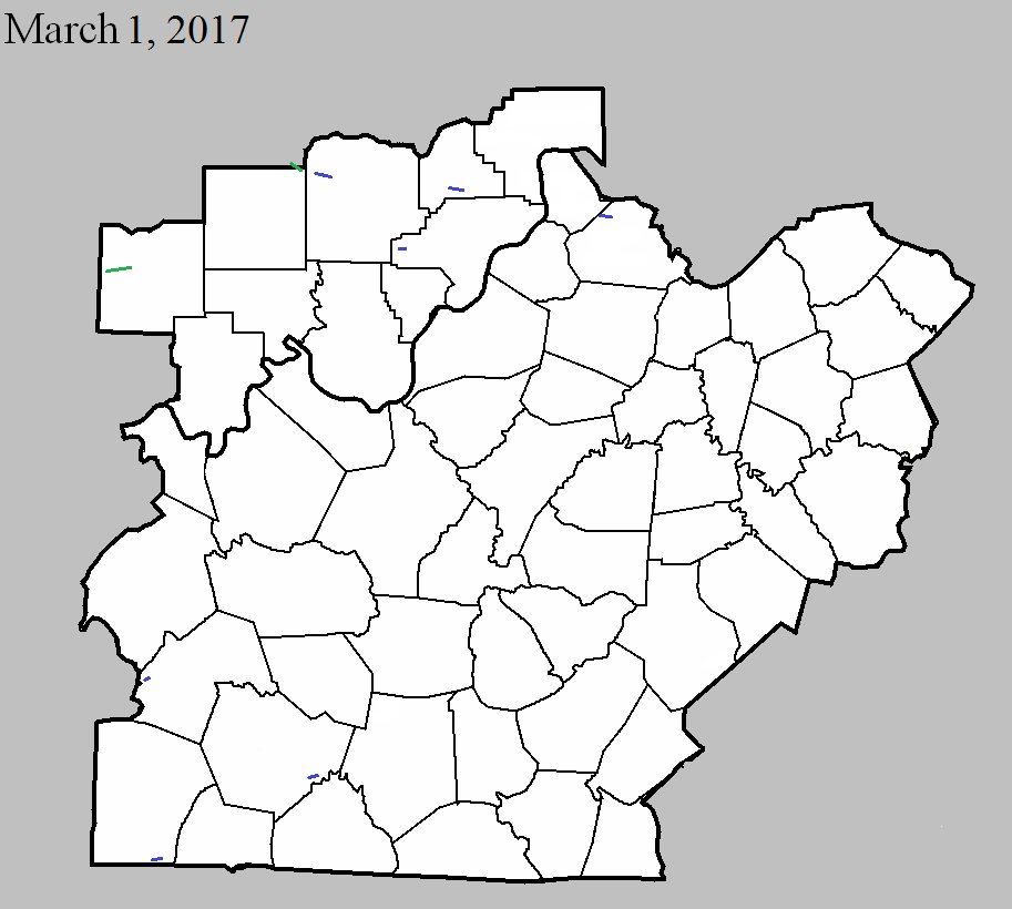
March 1, 2017
County: Dubois
EF-Scale: EF2
Deaths: 0
Injuries: 0
Path width: 150 yards
Path length: 5.8 miles
Time: 12:03am - 12:09am EST
Notes: Wind speeds reached 130mph. It first destroyed a barn southwest of Ireland and then moved on to damage several homes near the intersection of CR 200N and CR 875W. After damaging several outbuildings it traveled a mile northeast where it heavily damaged two brick ranch homes on CR 200N and CR 750W, removing their roofs and collapsing an outer wall on one of them. An elderly woman escaped injury because she was sitting in the only part of her home where the ceiling remained intact after her roof blew away and a wall collapsed 15 feet from her. The tornado skipped to the east-northeast over open farmland and gave a glancing blow to the north edge of Ireland, doing roof damage and destroying a block garage. After skipping over an additional mile of farmland, it destroyed a silo and damaged an outbuilding on CR 300N. It snapped several pine trees before dissipating.
March 1, 2017
County: Butler
EF-Scale: EF1
Deaths: 0
Injuries: 0
Path width: 90 yards
Path length: 0.8 miles
Time: 12:35am - 12:37am CST
Notes: The tornado touched down south of D&G Archery and snapped, twisted, and uprooted trees on rugged, rural countryside. One building was damaged at the touchdown site.
March 1, 2017
County: Orange
EF-Scale: EF2
Deaths: 0
Injuries: 1
Path width: 25 yards
Path length: 0.1 mile
Time: 5:38am - 5:39am EST
Notes: This tornado did EF2 level damage in Lawrence County before moving into Orange County at EF1 strength. Two mobile homes were destroyed. One mobile home rolled over onto a vehicle but the three occupants were unhurt. The car ended up in the living room of the home. The other mobile home lost its roof and half of its walls. The occupant was blown into a field with the debris, even though the living room furniture stayed in place. Minor injuries to the resident.
March 1, 2017
County: Washington, IN
EF-Scale: EF1
Deaths: 0
Injuries: 0
Path width: 100 yards
Path length: 5.8 miles
Time: 5:41am - 5:47am EST
Notes: This tornado was embedded in a larger field of straight-line winds that was up to a mile wide. The most intense tornado damage occurred shortly after touchdown where 50 healthy hardwood trees had snapped trunks with no foliage. In addition, an outbuilding lost part of its roof and debris struck a residence causing cracked masonry and dented drywall inside the structure. Winds peaked here at 100 mph. As the tornado continued eastward more homes experienced minor roof damage, uprooted trees, and a large outbuilding was nearly destroyed. After crossing Cave River Valley Road and White River Road the tornado took out about 50 softwood trees. Farther east, 100 hardwood and softwood trees were uprooted and snapped, with notable convergence observed. After driving a 4x6 through the roof of a home near Hunter Road, the tornado continued east to Prowsville Ridge Road where winds were up to 95 mph. Another stand of 50 hardwood trees was uprooted and snapped, along with significant damage to the porch and roof of a home. Tornadic damage continued east of Cox Ferry Road.
March 1, 2017
County: Clark, IN
EF-Scale: EF1
Deaths: 0
Injuries: 0
Path width: 20 yards
Path length: 0.3 miles
Time: 6:04am - 6:05am EST
Notes: A small tornado touched down in the back yard of a home about a quarter mile west of the caution light on IN 60 in Borden and uprooted trees and caused roof damage to the home. The tornado moved along Muddy Fork and snapped or uprooted numerous trees. The tornado then crossed IN 60 where people in the Buckboard Diner witnessed it. The tornado next removed the roof of an older building next to the cafe and a garage behind the cafe. It threw the debris into a small church and removed some of its roof.
March 1, 2017
County: Scott, IN
EF-Scale: EF1
Deaths: 0
Injuries: 10
Path width: 125 yards
Path length: 2.2 miles
Time: 6:05am - 6:07am EST
Notes: The tornado touched down 4 miles south of Scottsburg on Interstate 65. After overturning a tractor trailer on the highway it moved east-southeast, collapsing a wall on a large cinder block building, then destroying two metal outbuildings and flipping an unanchored mobile home. It continued skipping east, uprooting and snapping trees and destroying an anchored mobile home on Underwood Road. Three people were injured in the mobile home when it rolled over and disintegrated. The tornado then damaged an outbuilding and numerous trees as it headed east toward the intersection of Double Or Nothing Road and Radio Tower Road. There it destroyed a large garage and pushed a double-wide manufactured home off its foundation. The tornado was embedded in a one to two mile wide swath of straight line winds that continued on for another ten miles.
March 1, 2017
County: Henry
EF-Scale: EF1
Deaths: 0
Injuries: 0
Path width: 200 yards
Path length: 1.1 miles
Time: 6:36am - 6:38am EST
Notes: Touchdown was two miles north of Campbellsburg. It crossed Interstate 71 where it overturned a truck, and lifted 2.2 miles northeast of Campbellsburg. The most significant damage occurred on Jones Lane where 100 mph winds destroyed two large barns along with small outbuildings. A large grain bin was demolished and an anchored mobile home was pushed off of its foundation. A large debris field was scattered 200-300 yards downwind. East of I-71 the tornado damaged outbuildings and snapped trees. After destroying an older barn, the tornado ended just east of KY 55 where numerous softwood trees were snapped and uprooted. Very strong convergence was noted in the damage.
March 1, 2017
County: Logan
EF-Scale: EF1
Deaths: 0
Injuries: 0
Path width: 75 yards
Path length: 1.6 miles
Time: 6:57am - 6:59am CST
Notes: This tornado touched down southeast of Adairville and lifted 2.5 miles east of Adairville. The tornado did minor roof damage to a house near Martin Road. A home and an outbuilding had minor damage near Barnes Road, along with several downed trees. The most significant damage occurred near the end of the path near Prices Mill Road where a large barn lost a significant portion of its roof. Maximum wind speeds were 95 mph.
March 1, 2017
County: Warren
EF-Scale: EF1
Deaths: 0
Injuries: 0
Path width: 125 yards
Path length: 2.6 miles
Time: 7:24am - 7:28am CST
Notes: The tornado touched down east of Interstate 65 near Claypool. Several residences and barns suffered extensive damage along Cemetery Road and Martinsville Ford Road. Peak winds were around 110 mph.


 Weather Story
 Weather Map
 Local Radar