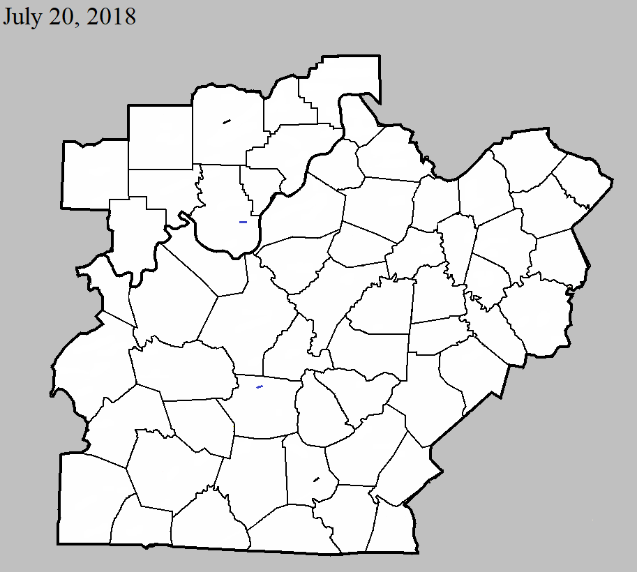
July 20, 2018
County: Washington IN
EF-Scale: EF0
Deaths: 0
Injuries: 0
Path width: 75 yards
Path length: 1.1 miles
Time: 2:03pm - 2:05pm EDT
Notes: This very small, skipping tornado did its damage primarily on hilltops between Sparks Ferry Road and the intersection of IN 135 and Lewellen Road. A few tree limbs and a small fence were downed near Sparks Ferry Road before it moved northeast over a large wooded area and open farmland. The next damage was concentrated about a quarter mile south of Water Tower Road, just west of IN 135. Here the tornado tore multiple metal roof panels off a barn, blew the southward-facing overhead doors of a garage in, and tore the entrance door off the garage on the west side. The attached home sustained considerable siding and roof damage. A small play shed on the west side of the home was destroyed, with the debris blown to the west-northwest. Debris from the barn and home were scattered in a narrow path through row crops up to a third of a mile to the northeast, where a resident witnessed large sheets of roofing and siding fall into a hay field on the north side of Lewellen Road. A corn field on the south side of Lewellen Road showed cyclonic rotation in a narrow path of flattened corn.
July 20, 2018
County: Harrison IN
EF-Scale: EF1
Deaths: 0
Injuries: 0
Path width: 250 yards
Path length: 6 miles
Time: 2:04pm - 2:20pm EDT
Notes: A National Weather Service storm survey team confirmed a maximum wind speed of 105 mph. The tornado first touched down along Justin`s Trail in the Southwind Estates subdivision. There was significant tree damage along Pleasure Ridge Road where a large tree fell on a garage. Farther east along Pleasure Ridge Road, several small funnels from the main funnel did extensive damage. A 2 x 8 impaled a concrete grain silo. At least four big barns received extensive damage, including a turkey barn. Further east, several funnels congealed into one main tornado doing extensive damage to hardwood trees and significant roof damage to several homes. Along South Pleasant Road, one home had mud spatter on the east side of the house where several pieces of wood were impaled in the ground. At that property, a pole barn was completely destroyed and thrown in different directions. A truck and horse trailer were moved 50 feet and twisted. At the end of Sarabeth Way, there was extensive hardwood tree damage which included uprooted, twisted, and mangled trees. This included several healthy hickory trees which were snapped. Further east on Sinker Road, there was impressive cyclonic crop damage across a corn field with corn laying in every direction. On Simler Road, there was consistent snapped tree damage and a camper that had been tossed and flipped over and several barns received extensive damage. During the final stages of the tornado, it struck homes along Peyton Road flipping over single wide trailers, lifting the roof of a barn, and doing extensive tree damage. Parts of the barn, including insulation and sheet metal, were thrown into the trees.
July 20, 2018
County: Metcalfe
EF-Scale: EF0
Deaths: 0
Injuries: 0
Path width: 60 yards
Path length: 2.1 miles
Time: 6:03pm - 6:05pm CDT
Notes: This short-lived spin-up occurred as a northeast-moving storm interacted with outflow winds from a southeastward-moving storm in eastern Metcalfe County. The first damage occurred along Subtle Road, where a carport was overturned and a large part of a metal outbuilding's roof was torn off, in addition to snapping numerous trees. The tornado then moved east-northeast at tree-top level over wooded areas and farm fields, doing its next major damage a mile away where it pushed a double-wide mobile home to the northwest off its blocks, breaking windows, and ripping off shingles from the roof. The tornado continued on for another mile, causing occasional tree damage and dropping debris before lifting near the east end of Groce Road, where it peeled roofing material from a metal out building.
July 20, 2018
County: Hart
EF-Scale: EF1
Deaths: 0
Injuries: 0
Path width: 60 yards
Path length: 1.2 miles
Time: 9:56pm - 9:59pm CDT
Notes: This tornado touched down in a wooded area midway between J Riggs Rd and Copelin Rd north of KY 728, snapping trees as it moved southeast along a hay field where it destroyed two 1200 lb hay bales and rolled numerous others up to a tenth of a mile into a soybean field and uphill onto a knoll. Snapping trees on the land adjacent to the hay and soybean fields, the tornado took a slight right turn, crossing KY 728, and destroyed a large barn. Large parts of the barn debris were lofted into trees southwest of the structure, snapping their trunks. A 20 x 20 section of the barn was blown 500 feet to the south-southeast. The tornado continued southward for another two-tenths of a mile, downing trees along Campground Rd before lifting.


 Weather Story
 Weather Map
 Local Radar