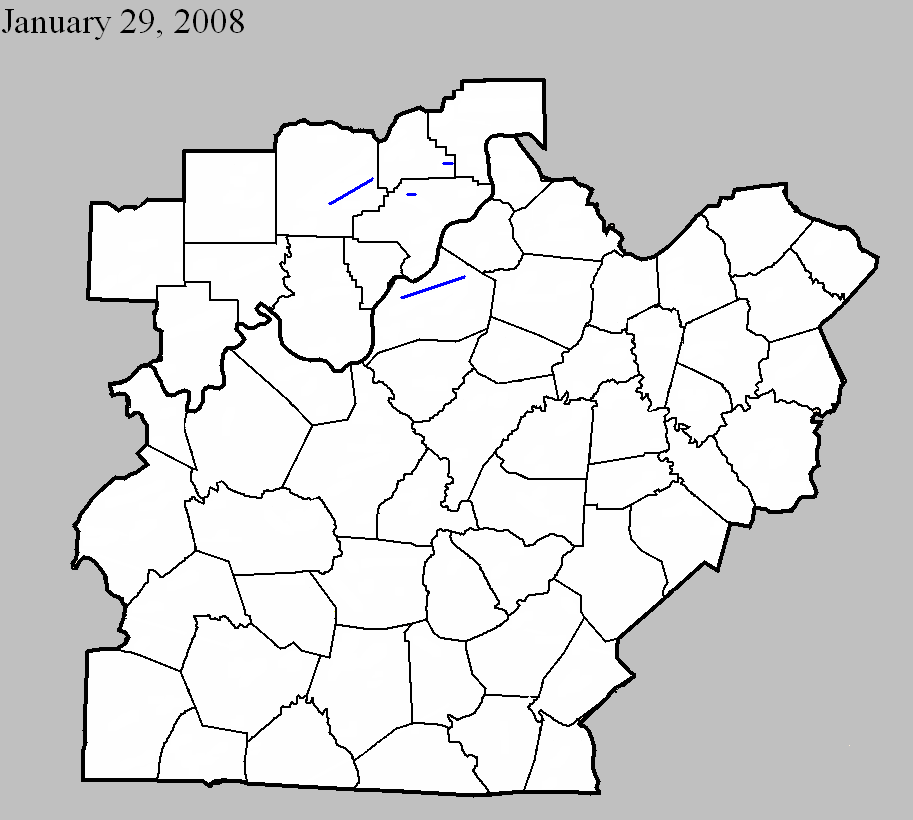
January 29, 2008
Counties: Washington, IN
EF-scale: EF1
Deaths: 0
Injuries: 0
Path width: 200 yards
Path length: 10.7 miles
Time: 7:40pm EST to 7:50pm EST
Notes: The most intense damage occurred near the intersection of Skylight and Cauble roads, where several hardwood trees were snapped off, numerous trees were uprooted in different directions, a farm outbuilding collapsed, and metal sheeting from a well-constructed barn was thrown 200 yards into the trees downwind.
January 29, 2008
Counties: Clark, IN
EF-scale: EF1
Deaths: 1
Injuries: 0
Path width: 100 yards
Path length: 0.2 miles
Time: 7:58pm EST to 7:59pm EST
Notes: Touched down briefly just northeast of Henryville. The tornado felled trees in varying directions, one of which crashed into a mobile home killing the occupant.
January 29, 2008
Counties: Jefferson, KY
EF-scale: EF1
Deaths: 0
Injuries: 0
Path width: 100 yards
Path length: 16.4 miles
Time: 8:00pm EST to 8:13pm EST
Notes: A fast moving tornado briefly touched down four times in Louisville. The tornado was on the ground for about one and a half miles over the course of its 16 mile long skipping track. The first touchdown was in an industrial area just off Millers Lane west of Dixie Highway. The tornado stayed on the ground for one mile before lifting, heavily damaging a church on Dixie Highway, as well as uprooting and snapping several trees and damaging numerous homes. The tornado then dipped to earth again on the west side of the University of Louisville campus, breaking out many windows in a large residence hall and nearby building, and damaging several vehicles parked nearby. The next touchdown happened in Saint Matthews near the intersection of Shelbyville Road and Interstate 264, where extensive damage was suffered by many businesses and private properties. The fourth and final touchdown was in Anchorage where many trees were damaged, blown over, and uprooted, roofs were damaged, and a large outbuilding at a training school was destroyed.
January 29, 2008
Counties: Scott, IN
EF-scale: EF1
Deaths: 0
Injuries: 0
Path width: 100 yards
Path length: 1.8 miles
Time: 8:10pm EST to 8:12pm EST
Notes: Touched down just east of Lexington. The tornado snapped and uprooted trees, destroyed a mobile home, and caused roof damage to a number of homes.


 Weather Story
 Weather Map
 Local Radar