Louisville, KY
Weather Forecast Office
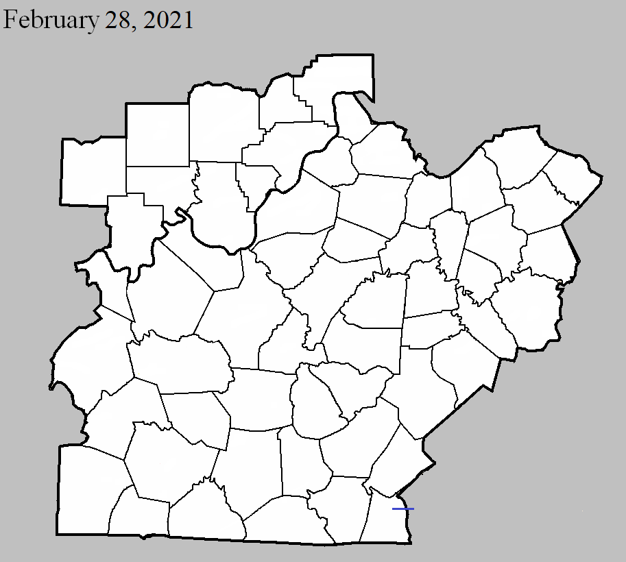
February 28, 2021
County: Clinton (to Wayne)
EF-Scale: EF1
Deaths: 0
Injuries: 0
Path width: 75 yards
Path length: 3.6 miles
Time: 8:18-8:22pm CST
Notes: The initial touchdown was on the western edge of Cumberland City. There were several snapped trees along with roofing damage at several homes before more extensive structural damage occurred at 5250 KY 558. Several large barns were destroyed or had at least 70% of the walls blown out. A one month old 64'x56' barn with 6' footers in concrete was destroyed. The debris from the barn was thrown over a quarter mile to the northeast. A 60'x43' barn that had been recently remodeled and upgraded had three walls blown out. A Kubota UTV weighing 2500 pounds was moved 30 yards and rotated 180 degrees. There was also extensive snapping and uprooting of trees. Winds were estimated at 110 mph. Further east, a large 50'x60' barn was destroyed and debris went at least half a mile downwind. A mobile home on KY 829 was lifted off its foundation and there were several trees uprooted and snapped. The tornado crossed KY 829 and then crossed KY 1009 with extensive tree damage along both sides of the road. A large barn on KY 1009 had two walls blown out with debris thrown over half a mile downwind into Wayne County. The tornado dissipated about half a mile into Wayne County.
Current Hazards
Hazardous Weather Outlook
Storm Prediction Center
Submit a Storm Report
Advisory/Warning Criteria
Radar
Fort Knox
Evansville
Fort Campbell
Nashville
Jackson
Wilmington
Latest Forecasts
El Nino and La Nina
Climate Prediction
Central U.S. Weather Stories
1-Stop Winter Forecast
Aviation
Spot Request
Air Quality
Fire Weather
Recreation Forecasts
1-Stop Drought
Event Ready
1-Stop Severe Forecast
Past Weather
Climate Graphs
1-Stop Climate
CoCoRaHS
Local Climate Pages
Tornado History
Past Derby/Oaks/Thunder Weather
Football Weather
Local Information
About the NWS
Forecast Discussion
Items of Interest
Spotter Training
Regional Weather Map
Decision Support Page
Text Products
Science and Technology
Outreach
LMK Warning Area
About Our Office
Station History
Hazardous Weather Outlook
Local Climate Page
Tornado Machine Plans
Weather Enterprise Resources
US Dept of Commerce
National Oceanic and Atmospheric Administration
National Weather Service
Louisville, KY
6201 Theiler Lane
Louisville, KY 40229-1476
502-969-8842
Comments? Questions? Please Contact Us.


 Weather Story
 Weather Map
 Local Radar