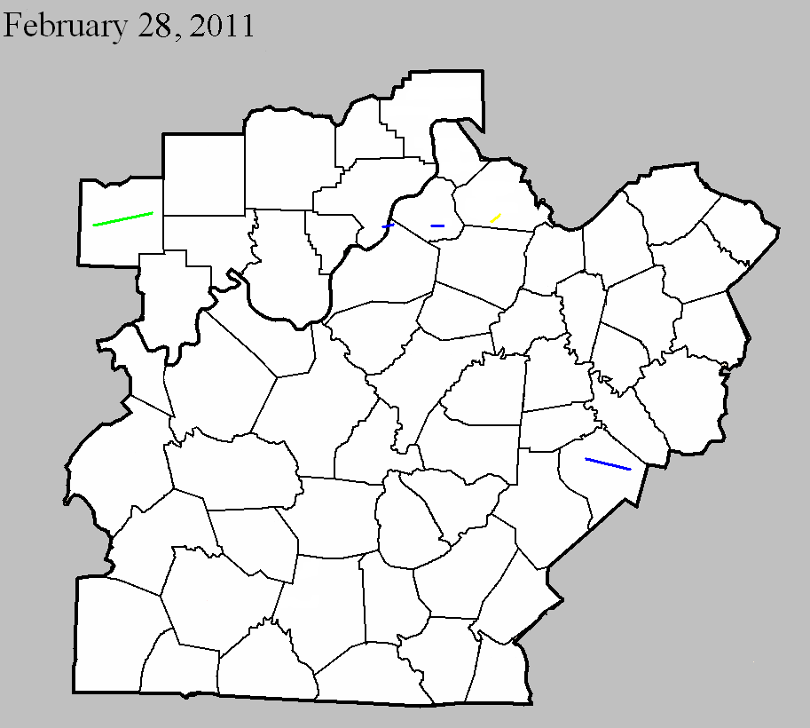
February 28, 2011
Counties: Dubois
F-scale: EF2
Deaths: 0
Injuries: 1
Path width: 225 yards
Path length: 15.7 miles (skipping)
Time: 3:19am EST
Notes: The tornado first touched down just north of Duff east of County Road 650W. Damage to several large metal buildings, a large barn, and a radio tower were observed south of Jasper. After a brief break in the path, the tornado touched down again four miles southwest of Celestine and took a slight turn to the northeast. The most significant damage along this segment was in Celestine near Ellsworth Road. Damage included roofs blown off two brick homes with the walls collapsed in one home. In addition a double-wide trailer was blown off its foundation and an RV was tossed across the road.
February 28, 2011
Counties: Clark IN, Jefferson KY
F-scale: EF1
Deaths: 0
Injuries: 0
Path width: 100 yards
Path length: 3 miles
Time: 4:31am EST
Notes: This tornado touched down near Centennial Boulevard in Clark County. Large hardwood trees were uprooted along the tornado's path towards Utica. A house on Middle Road had a tin roof blown off and thrown 200 yards. A couple of garage doors were dented in. The tornado then crossed the Ohio River and moved into Harrods Creek. Numerous large hardwood trees were snapped in half. A section of roof was blown off a house. The tornado lifted just west of US 42.
February 28, 2011
Counties: Oldham
F-scale: EF1
Deaths: 0
Injuries: 0
Path width: 75 yards
Path length: 1.2 miles
Time: 4:43am to 4:45am EST
Notes: Numerous pine and cedar trees were uprooted or snapped and a few outbuildings were damaged. Homes had shingle and siding damage.
February 28, 2011
Counties: Henry
F-scale: EF3
Deaths: 0
Injuries: 1
Path width: 150 yards
Path length: 2.3 miles
Time: 4:59am
Notes: The tornado touched down just to the southwest of KY 1899 (Mulberry Pike), crossing into Springhill Estates subdivision. Two homes were destroyed here along with three outbuildings. Trees were uprooted and snapped. The tornado then weakened as it traveled across KY 1359. Fifteen power poles were blown down along the highway. One barn was destroyed and another had the roof blown off. The tornado continued across KY 22 where trees were blown down and one outbuilding was damaged. The tornado lifted near Drennon Creek.
February 28, 2011
Counties: Lincoln
F-scale: EF1
Deaths: 0
Injuries: 0
Path width: 250 yards
Path length: 8.2 miles
Time: 6:49am EST
Notes: The tornado first touched down about 0.8 miles southwest of Stanford. It then traveled southeast damaging the middle school complex on Highway 27 about a mile south of Stanford. The tornado continued to damage large barns and out buildings as well as snap trees until it lifted about 2 miles northwest of Crab Orchard.


 Weather Story
 Weather Map
 Local Radar