Louisville, KY
Weather Forecast Office
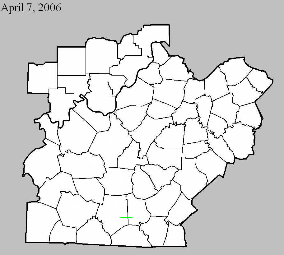
April 7, 2006
Counties: Barren, Metcalfe
F-scale: F2
Deaths: 0
Injuries: 4
Path width: 200 yards
Path length: 2.7 miles
Time: 4:04pm
Notes: Fifteen to twenty homes were destroyed, mainly in the Temple Hill area. Another dozen or so homes, along with barns and outbuildings, sustained heavy damage. Four people in the area were treated for minor injuries. The tornado formed about a mile northeast of Temple Hill just south of Barbour Road. Numerous trees were topped, and several homes were damaged. Most of the structural damage occurred along Moore Road, where several mobile homes were moved considerable distances and were destroyed. A large RV was flipped over...a large tractor trailer was moved about five feet...and a horse trailer was thrown over 75 yards. The tornado reached its peak intensity near the intersection of Moore Road and KY 839. The storm then crossed into Metcalfe County about three miles northeast of Nobob. Several homes and barns were destroyed on Froedge-Dubree and Pitcock roads in the Summer Shade area.
Current Hazards
Hazardous Weather Outlook
Storm Prediction Center
Submit a Storm Report
Advisory/Warning Criteria
Radar
Fort Knox
Evansville
Fort Campbell
Nashville
Jackson
Wilmington
Latest Forecasts
El Nino and La Nina
Climate Prediction
Central U.S. Weather Stories
1-Stop Winter Forecast
Aviation
IDSS Forecast Points
Air Quality
Fire Weather
Recreation Forecasts
1-Stop Drought
Event Ready
1-Stop Severe Forecast
Past Weather
Climate Graphs
1-Stop Climate
CoCoRaHS
Local Climate Pages
Tornado History
Past Derby/Oaks/Thunder Weather
Football Weather
Local Information
About the NWS
Forecast Discussion
Items of Interest
Spotter Training
Regional Weather Map
Decision Support Page
Text Products
Science and Technology
Outreach
LMK Warning Area
About Our Office
Station History
Hazardous Weather Outlook
Local Climate Page
Tornado Machine Plans
Weather Enterprise Resources
US Dept of Commerce
National Oceanic and Atmospheric Administration
National Weather Service
Louisville, KY
6201 Theiler Lane
Louisville, KY 40229-1476
502-969-8842
Comments? Questions? Please Contact Us.


 Weather Story
 Weather Map
 Local Radar