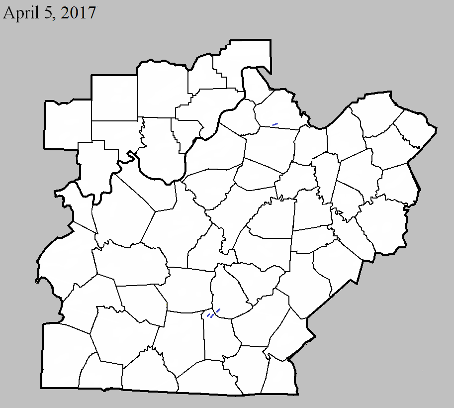
April 5, 2017
County: Henry
EF-Scale: EF1
Deaths: 0
Injuries: 0
Path width: 100 yards
Path length: 1.7 mile
Time: 5:54pm - 5:56pm EDT
Notes:The first evidence of tornado damage was just south of US 421 where the tornado passed between two farms. Barns on either side of the path were damaged with the debris thrown clockwise, showing an anticyclonic rotation. The tornado crossed US 421 and continued northeast. The last evidence of a tornado was at a house on Point Pleasant Road where the tornado blew in a garage door.
April 5, 2017
County: Metcalfe
EF-Scale: EF1
Deaths: 0
Injuries: 0
Path width: 50 yards
Path length: 0.7 mile
Time: 5:11pm - 5:13pm CDT
Notes: This small tornado touched down near the intersection of Iron Mountain Road and Kidd Road where it heavily damaged a barn, then moved east-northeast over open farmland before hitting a farm on the west side of Center Three Springs Road. It tore the back end off of a large barn there and collapsed a 60-foot tall silo, then crossed the road and snapped several trees.
April 5, 2017
County: Metcalfe
EF-Scale: EF1
Deaths: 0
Injuries: 0
Path width: 50 yards
Path length: 0.4 mile
Time: 5:12pm - 5:13pm CDT
Notes: The tornado began in a field west of Center Peggyville Road, taking out several trees in a tree line before moving east where it destroyed a large, well-built barn, lofting debris into the air and sending it as far as 0.25 mile to the east. It then crossed the road and snapped several trees.
April 5, 2017
County: Green
EF-Scale: EF1
Deaths: 0
Injuries: 0
Path width: 250 yards
Path length: 0.8 mile
Time: 5:16pm - 5:17pm CDT
Notes: This tornado touched down in an open field and headed northeast toward Mahogany Lane. Two small vortices, one 50 yards wide and the other 100 yards wide, reached speeds of 105 mph as they destroyed a large, well-built barn and two smaller outbuildings in addition to a fifth-wheel trailer. The debris was blown up to 0.25 mile to the northeast and exhibited both convergence and rotation.


 Weather Story
 Weather Map
 Local Radar