Louisville, KY
Weather Forecast Office
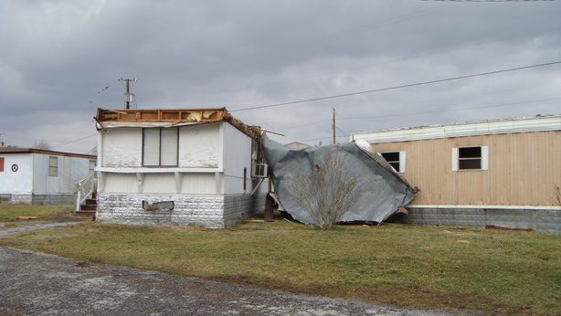
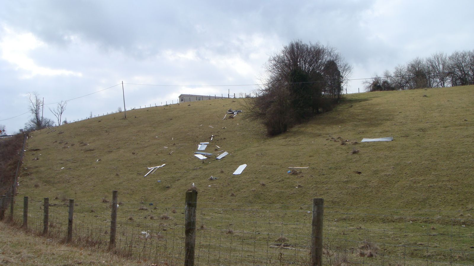
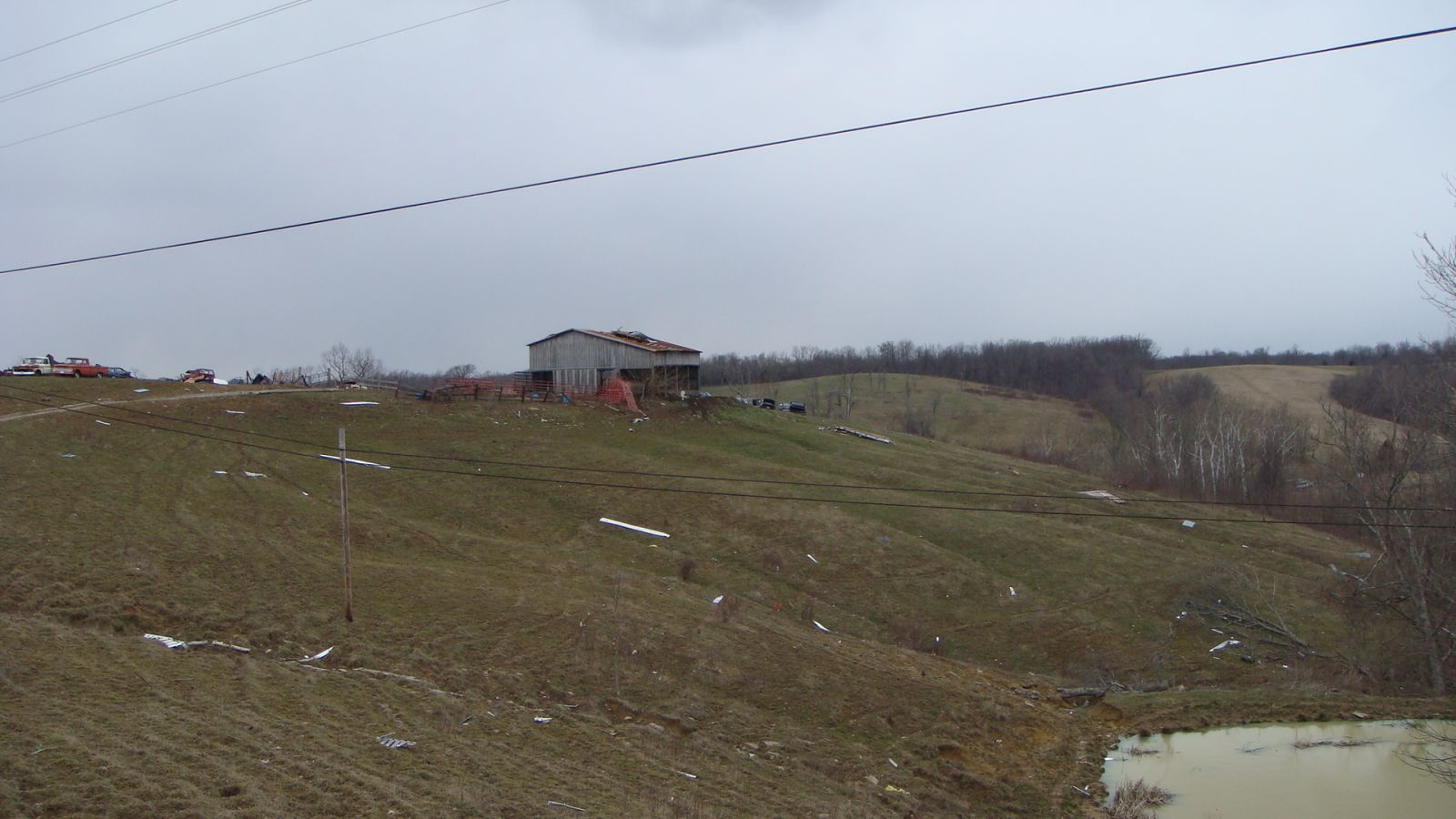
The first damage occurred two miles west of Carlisle where a barn and a trailer had their roofs blown off and a manufacturing company suffered significant roof damage. Tree and barn damage occurred on KY 32 and KY 1465 north of Carlisle.
The most significant damage happened three miles northeast of Carlisle near the intersection of KY 32 and Stoney Ridge Road. A small barn was completely destroyed and blown into the highway. Several other barns had their roofs removed. A car was blow 15 feet into a telephone pole by the winds.
(click on the image for a larger version)
 |
 |
 |
Do you have any damage photos from the storms that hit Nicholas County on February 5 and 6, 2008? If so, feel free to share them with us!
Current Hazards
Hazardous Weather Outlook
Storm Prediction Center
Submit a Storm Report
Advisory/Warning Criteria
Radar
Fort Knox
Evansville
Fort Campbell
Nashville
Jackson
Wilmington
Latest Forecasts
El Nino and La Nina
Climate Prediction
Central U.S. Weather Stories
1-Stop Winter Forecast
Aviation
IDSS Forecast Points
Air Quality
Fire Weather
Recreation Forecasts
1-Stop Drought
Event Ready
1-Stop Severe Forecast
Past Weather
Climate Graphs
1-Stop Climate
CoCoRaHS
Local Climate Pages
Tornado History
Past Derby/Oaks/Thunder Weather
Football Weather
Local Information
About the NWS
Forecast Discussion
Items of Interest
Spotter Training
Regional Weather Map
Decision Support Page
Text Products
Science and Technology
Outreach
LMK Warning Area
About Our Office
Station History
Hazardous Weather Outlook
Local Climate Page
Tornado Machine Plans
Weather Enterprise Resources
US Dept of Commerce
National Oceanic and Atmospheric Administration
National Weather Service
Louisville, KY
6201 Theiler Lane
Louisville, KY 40229-1476
502-969-8842
Comments? Questions? Please Contact Us.


 Weather Story
 Weather Map
 Local Radar