
On the morning of March 2, 2012 low pressure was centered over southern Missouri with a warm front reaching east into the Ohio Valley. Showers and thunderstorms were scattered along the warm front, and produced hail to the size of nickels between 8am and 10:30am.
By late morning the low had deepened and moved on to central Illinois. It had lifted the warm front out of our area, bringing an end to the morning thunderstorms. It also put southern Indiana and central Kentucky in the "warm sector" of the storm, meaning that we were positioned south of the warm front but east of the storm system's cold front, which at lunch time stretched from the low in central Illinois southward through Arkansas to Texas.
As very strong winds aloft swept in from the Plains, with speeds to 115 mph around 18,000 feet above the surface, the first storms associated with the cold front popped just east of St Louis around 11am. As the front pushed east, more storms blossomed over southern Illinois and headed to the east.
Temperatures over southern Indiana and central Kentucky had soared well into the 70s by midday, with southern Kentucky actually setting record highs in the lower 80s. The atmosphere had become very unstable with extremely strong wind shear (which is the change in direction and speed of wind with height). The unstable, juicy atmosphere would lead to storm development, and the wind shear would promote tornado development.
The parent low of the system continued to deepen as it raced towards southern Michigan and dragged its attendant cold front into the Ohio and Tennessee Valleys. Storms continued to erupt throughout the region and easily attained rotating updrafts. The result was eight tornadoes and many reports of large hail. The strongest wind shear maximized over southern Indiana, where twin supercells tracked from Dubois County to Trimble County. The lead supercell produced an EF4 tornado that stayed on the ground for 49 miles. It was the region's strongest tornado since May 28, 1996 and the deadliest since the Brandenburg Tornado of April 3, 1974.
Most significantly affected areas:
(Due to a change in licensing, we are unable to display the track maps at this time. We apologize for the inconvenience. For a basic, general track map see here.)
Before and after pictures from Washington and Clark Counties
Other areas:
We owe a great debt of gratitude to all the people and pilots who sent us their photos and videos -- thank you! If you find one of your photos here and it is not credited properly, please let us know.
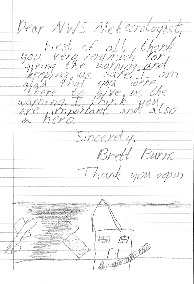
One of many letters we received from the Fourth Grade class at East Washington Elementary School in New Pekin, Indiana:


 Weather Story
 Weather Map
 Local Radar