Louisville, KY
Weather Forecast Office
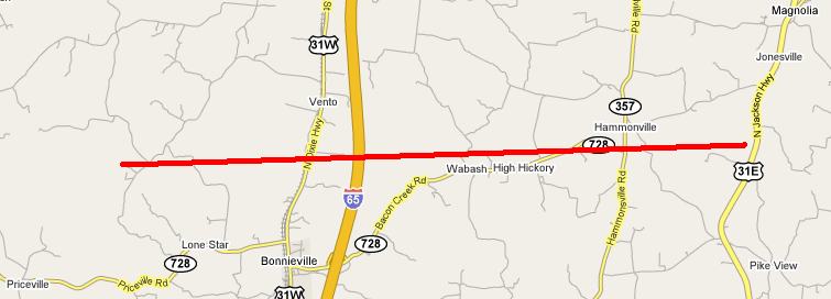
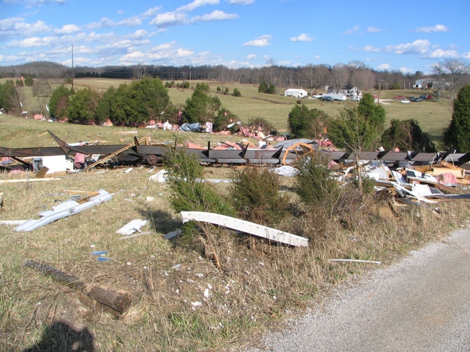
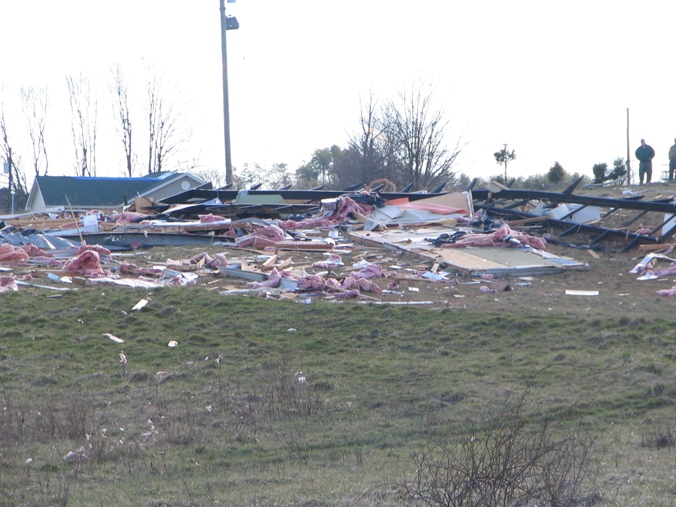
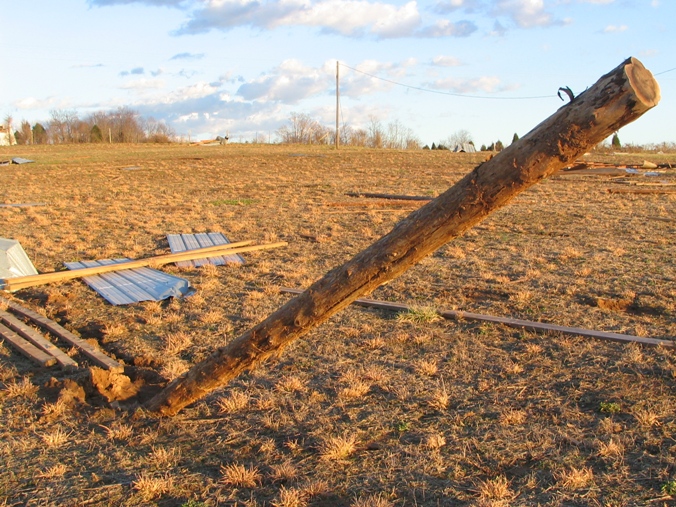
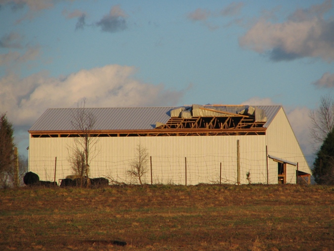
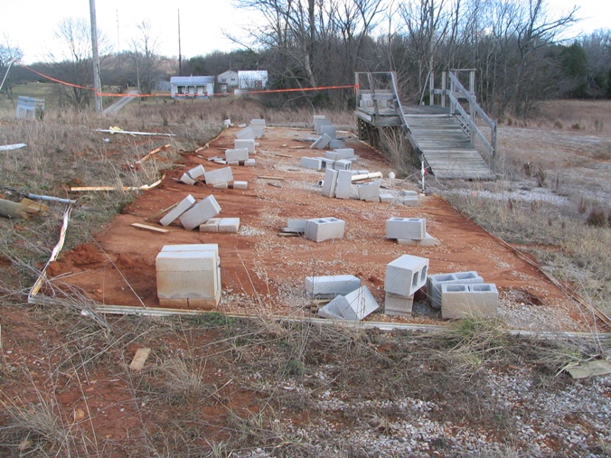
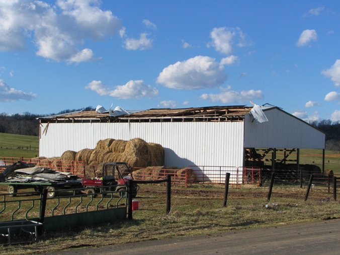
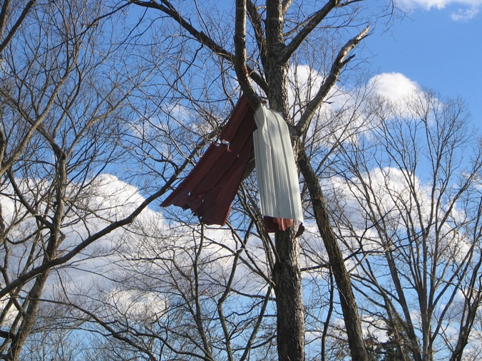
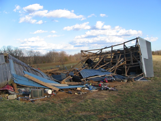
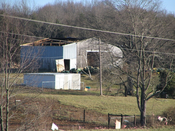
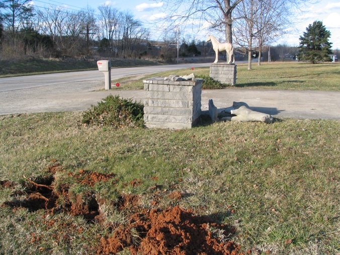
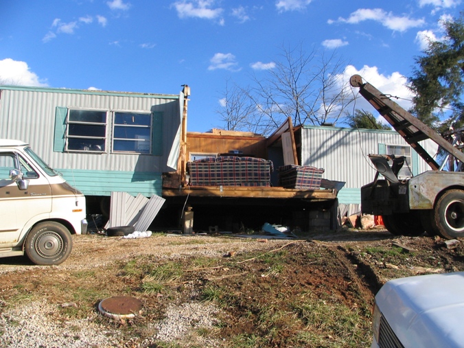
The tornado first touched down three and a half miles northwest of Bonnieville, destroying several barns and a mobile home on and neat Lone Star Road. It then lifted and touched down briefly again 2.1 miles north of Bonnieville along US 31W. There it damaged or destroyed several more barns and mobile homes. It next touched down six miles northeast of Bonnieville near the intersection of Bacon Creek and Hammonville roads where it destroyed one barn and damaged the roof of another, as well as causing minor damage to nearby homes. After lifting again, the tornado touched down near US 31E where it again damaged several barns.
(Click on thumbnail for larger image.)
 |
 |
 |
 |
 |
 |
 |
 |
 |
 |
 |
Click here to see our radar imagery for this storm.
Page last updated: 4/14/2008 2:00 AM EDT
Current Hazards
Hazardous Weather Outlook
Storm Prediction Center
Submit a Storm Report
Advisory/Warning Criteria
Radar
Fort Knox
Evansville
Fort Campbell
Nashville
Jackson
Wilmington
Latest Forecasts
El Nino and La Nina
Climate Prediction
Central U.S. Weather Stories
1-Stop Winter Forecast
Aviation
IDSS Forecast Points
Air Quality
Fire Weather
Recreation Forecasts
1-Stop Drought
Event Ready
1-Stop Severe Forecast
Past Weather
Climate Graphs
1-Stop Climate
CoCoRaHS
Local Climate Pages
Tornado History
Past Derby/Oaks/Thunder Weather
Football Weather
Local Information
About the NWS
Forecast Discussion
Items of Interest
Spotter Training
Regional Weather Map
Decision Support Page
Text Products
Science and Technology
Outreach
LMK Warning Area
About Our Office
Station History
Hazardous Weather Outlook
Local Climate Page
Tornado Machine Plans
Weather Enterprise Resources
US Dept of Commerce
National Oceanic and Atmospheric Administration
National Weather Service
Louisville, KY
6201 Theiler Lane
Louisville, KY 40229-1476
502-969-8842
Comments? Questions? Please Contact Us.


 Weather Story
 Weather Map
 Local Radar