Louisville, KY
Weather Forecast Office
The month started off wet, with over an inch of rain soaking the region on the first day. Those rains made 2018 the wettest year on record at Lexington.
On December 8-9 the second ice storm of the season rolled across the region, coating outdoor objects in 0.10-0.28" of glaze in southern Kentucky.
Another round of heavy rain came through on the 14th-15th as low pressure moved very slowly from the lower Mississippi Valley into the Tennessee Valley. One to three inches of rain fell. It was these rains that made 2018 the wettest year on record at Frankfort.
The month ended with a bang as a squall line brought heavy rain and gusty winds to the region. A New Year's Eve EF-1 tornado briefly touched down between Corydon and Brandenburg. The heavy rains made 2018 Louisville's wettest year on record.
| Average Temperature | Departure from Normal | Precipitation | Departure from Normal | Snow | Departure from Normal | |
| Bowling Green | 42.7° | +4.1° | 5.13" | +0.33" | 1.2" | 0" |
| Frankfort | 40.6° | +5.3° | 5.40" | +1.39" | ||
| Lexington | 41.0° | +5.0° | 6.06" | +2.13" | 0.1" | -2.4" |
| Louisville Bowman | 43.0° | +5.8° | 5.51" | +1.50" | ||
| Louisville International | 43.0° | +5.1° | 5.90" | +2.07" | T | -2.6" |
Records
1st: Record rainfall of 0.97" at Bowling Green, record rainfall of 1.10" at Lexington, record rainfall of 1.62" at Louisville
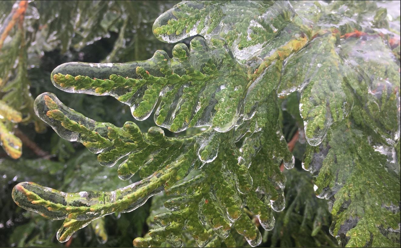
Ice in southern Kentucky on the 9th. Photo by Jeremy Byrn
Current Hazards
Hazardous Weather Outlook
Storm Prediction Center
Submit a Storm Report
Advisory/Warning Criteria
Radar
Fort Knox
Evansville
Fort Campbell
Nashville
Jackson
Wilmington
Latest Forecasts
El Nino and La Nina
Climate Prediction
Central U.S. Weather Stories
1-Stop Winter Forecast
Aviation
Spot Request
Air Quality
Fire Weather
Recreation Forecasts
1-Stop Drought
Event Ready
1-Stop Severe Forecast
Past Weather
Climate Graphs
1-Stop Climate
CoCoRaHS
Local Climate Pages
Tornado History
Past Derby/Oaks/Thunder Weather
Football Weather
Local Information
About the NWS
Forecast Discussion
Items of Interest
Spotter Training
Regional Weather Map
Decision Support Page
Text Products
Science and Technology
Outreach
LMK Warning Area
About Our Office
Station History
Hazardous Weather Outlook
Local Climate Page
Tornado Machine Plans
Weather Enterprise Resources
US Dept of Commerce
National Oceanic and Atmospheric Administration
National Weather Service
Louisville, KY
6201 Theiler Lane
Louisville, KY 40229-1476
502-969-8842
Comments? Questions? Please Contact Us.


 Weather Story
 Weather Map
 Local Radar