Bronco Blizzard
Monday, October 15, 1984
Green Bay Packers at Denver Broncos
Game
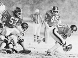
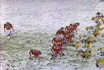
Mother Nature had an interesting plan for the 200th broadcast of Monday Night Football, and definitely wanted to challenge the Broncos and the Packers. In attendance were 62,546 brave souls, who endured blizzard conditions. The nation watched live as professional football players struggled to play the game while wind and snow wreaked havoc. Fans had trouble seeing the players on the field. Broadcasters did the best they could with their limited visibility as well. The Broncos won the game by a final score of 17 to 14, with 14 of the Broncos’ points coming from their defense in the first minute of the game. The other three Denver points came on a crucial field goal in the first half from barefooted kicker, Rich Karlis. All of Green Bay’s points came in the second half.
|
|
First Quarter |
Second Quarter |
Third Quarter |
Fourth Quarter |
Final |
|
Green Bay Packers |
0 |
0 |
7 |
7 |
14 |
|
Denver Broncos |
14 |
3 |
0 |
0 |
17 |
Weather
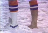
By the time the game concluded, more than four inches of snow had accumulated on the field of Mile High Stadium. Temperatures for the entire day had barely surpassed 30° F, approximately 30 degrees below average. The storm had arrived earlier that day, but did not start to gain intensity until Monday night. Winds gusted to more than 55 mph during the storm. Snow totals from Monday until the storm concluded Tuesday evening ranged from 1 to 3 feet in the Denver area, with the higher amounts falling in the foothills just outside the city.
Why
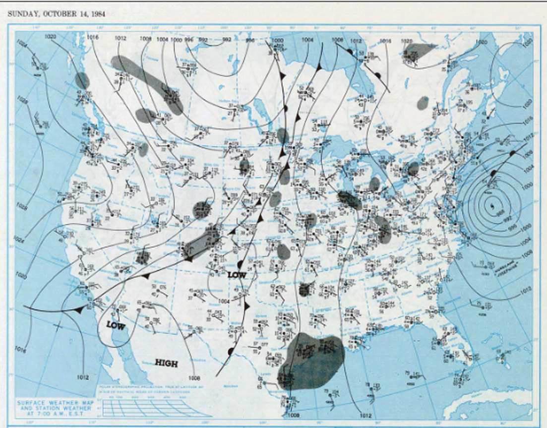
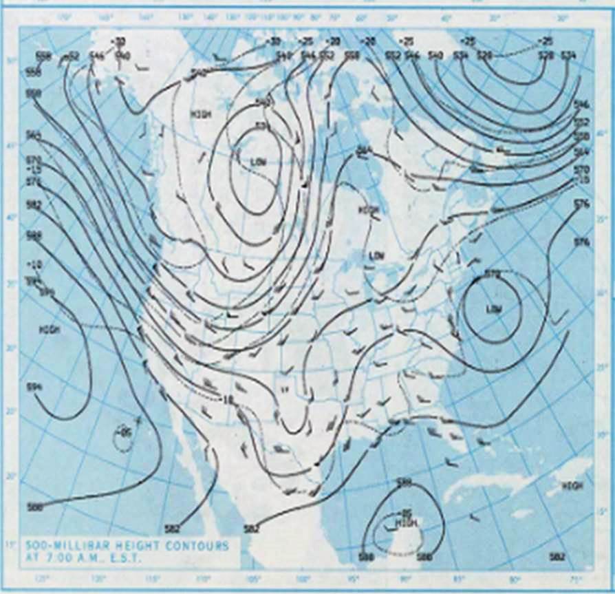
On Sunday, October 14, a cold front passed through Colorado following a surface low pressure. Surface winds were from the north. The 500 mb chart below shows a trough extending from an upper level low located in the Northwest Territories of Canada. This trough would help colder air reach into the area. The surface front then stalled out on Monday, becoming a nearly stationary cold front to the east, specifically along the Kansas/Missouri border. A more prominent surface trough had begun to push into Colorado. The 500 mb low pressure was now sitting over northwestern Colorado, Wyoming, Montana, Idaho, Utah, and northeastern Nevada. This kept colder air in place. The system lingered into the morning on Tuesday before being pushed out.
|
Surface (left) and 500 mb (right) charts from Sunday, Oct. 14, 1984 |
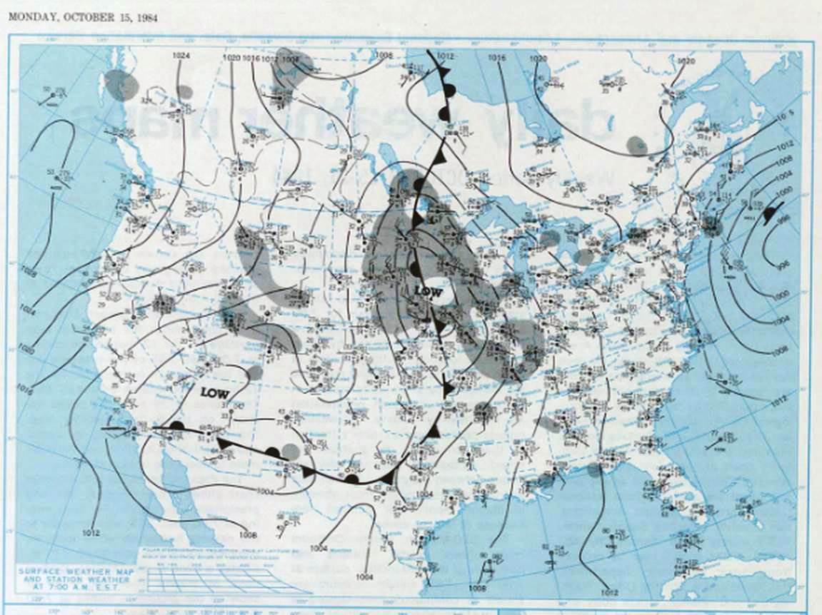
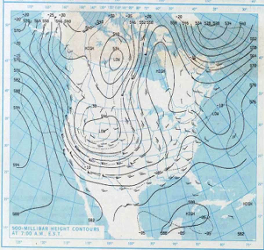
| Surface (left) and 500 mb (right) charts from Monday, Oct. 15, 1984 |
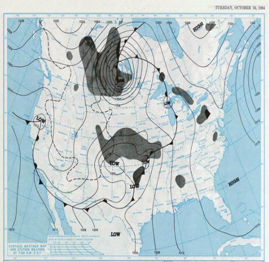
| Surface chart from Tuesday, Oct. 16 |
Remembering the Game
Former Broncos safety Steve Foley is often asked about his days as a player in the NFL. "Whenever anybody asks me about the Broncos, they always bring up that game. And I always tell them that it was the most fun I have ever had playing football in the pros. I felt like a kid again, back in New Orleans. Back then, when it would rain and flood, we'd go out and play football and splash through these puddles a foot deep. That's what the blizzard game was like. Just talking about it now brings a smile to my face." (Denver Post)
Resources
https://www.nytimes.com/1984/10/17/us/blizzard-covers-colorado-cities-blocking-roads.html


 Weather Story
 Weather Map
 Local Radar