A heat wave over the Southwest will intensify this week, peaking and expanding into the Intermountain West and northern High Plains this weekend. Critical to extremely critical fire weather conditions are forecast from the Northwest and the northern Great Basin this weekend. Particularly Dangerous Situation Red Flag Warnings have been issued. Read More >
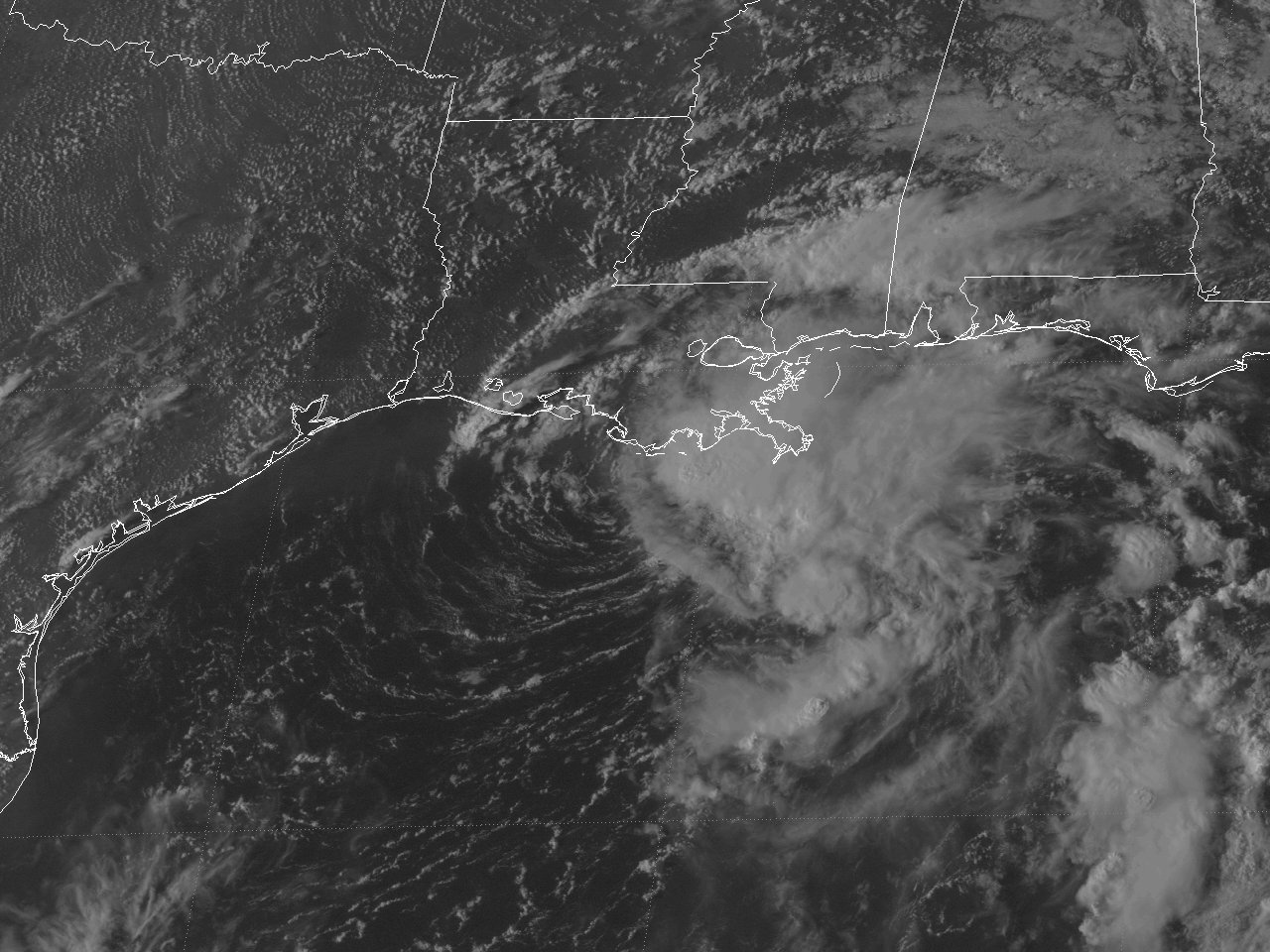
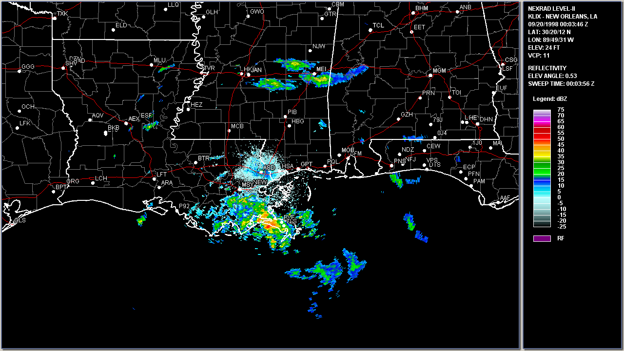
| Tropical Storm Hermine | ||
| September 17-20, 1998 | ||
|
|
||
| Additional Data, Maps, Tables | ||||||||||
| Wind and Pressure | Storm Surge | Rainfall | ||||||||
|
Radar and Satellite Animated Imagery |
|||||||||
|
|||||||||
Webpage design and content by: Donovan Landreneau