|
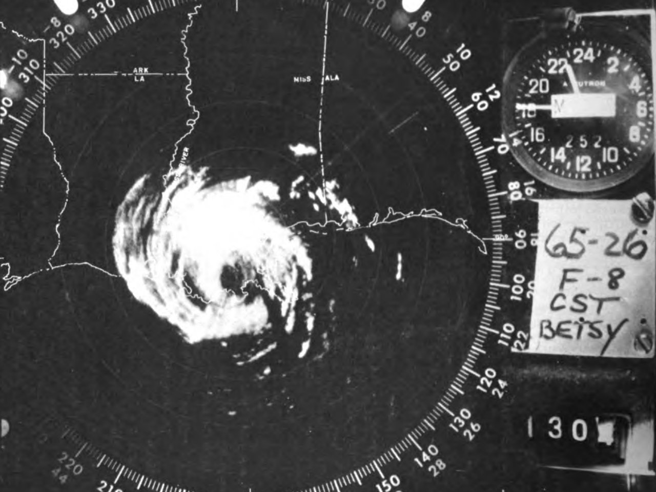
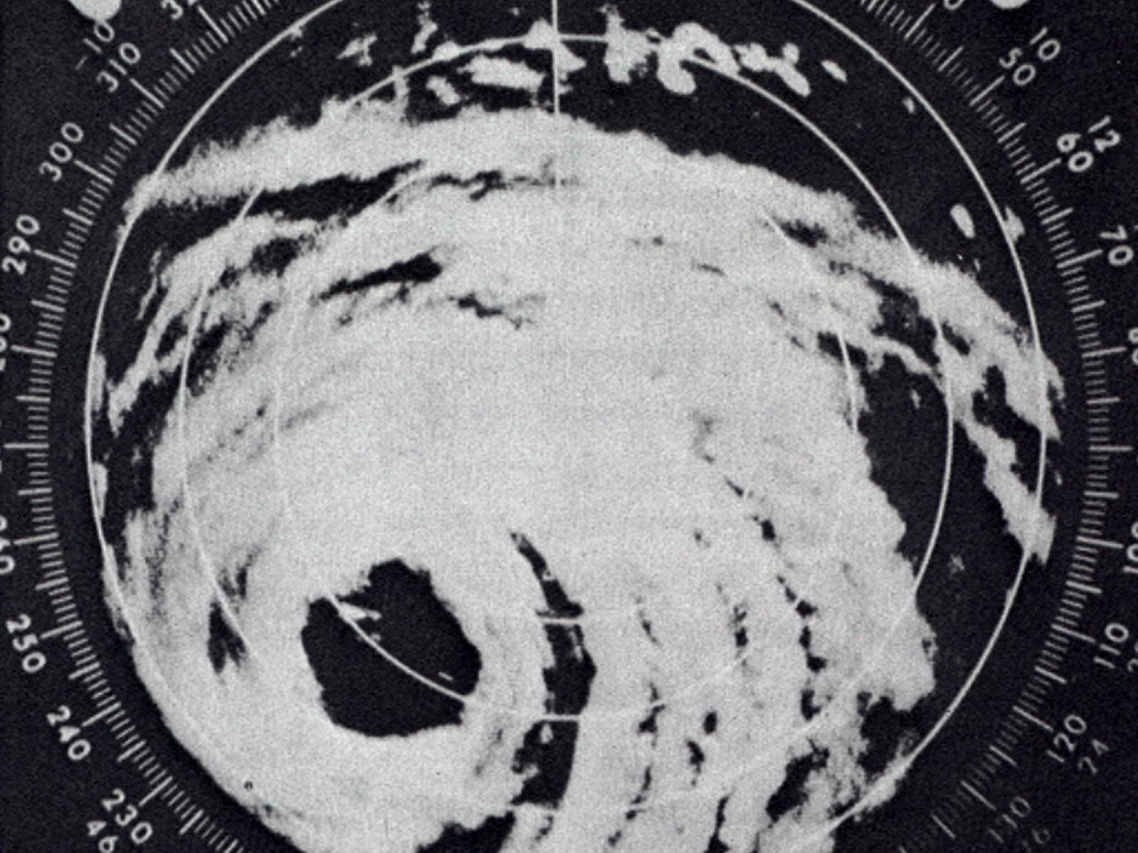
Above: New Orleans, LA WSR-57 radar image of Hurricane Betsy at 10:46 PM CST on September 9, 1965, shortly after landfall. Image from Mariners Weather Log, January 1966.
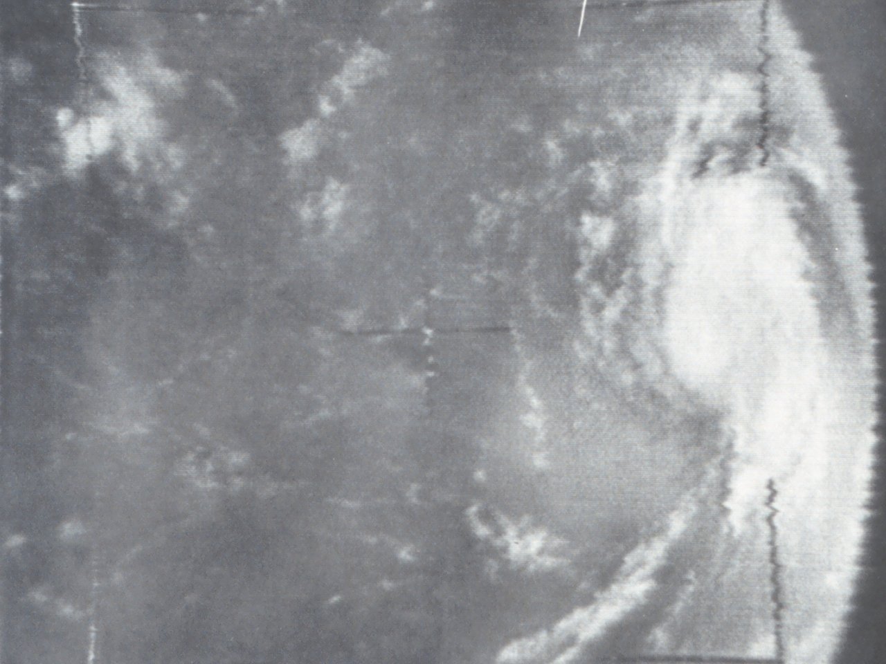
The origin of Hurricane Betsy can be traced back to August 23rd when a tropical wave was first detected by TIROS satellite. During the late afternoon hours of August 26th, reconnaissance aircraft investigating a tropical wave east of the Lesser Antilles found that a tropical depression developed. Little organization followed the next couple of days while the system moved northwest and interacted with the Lesser Antilles. The system was upgraded to Tropical Storm Betsy on August 28th while over Saint Martin, remaining fairly weak at the time. More pronounced strengthening commenced on August 29th with Betsy becoming a strong tropical storm by August 30th, as shown by a TIROS-9 visible satellite photo. Betsy then stalled well north of Puerto Rico due to collapsing steering currents.
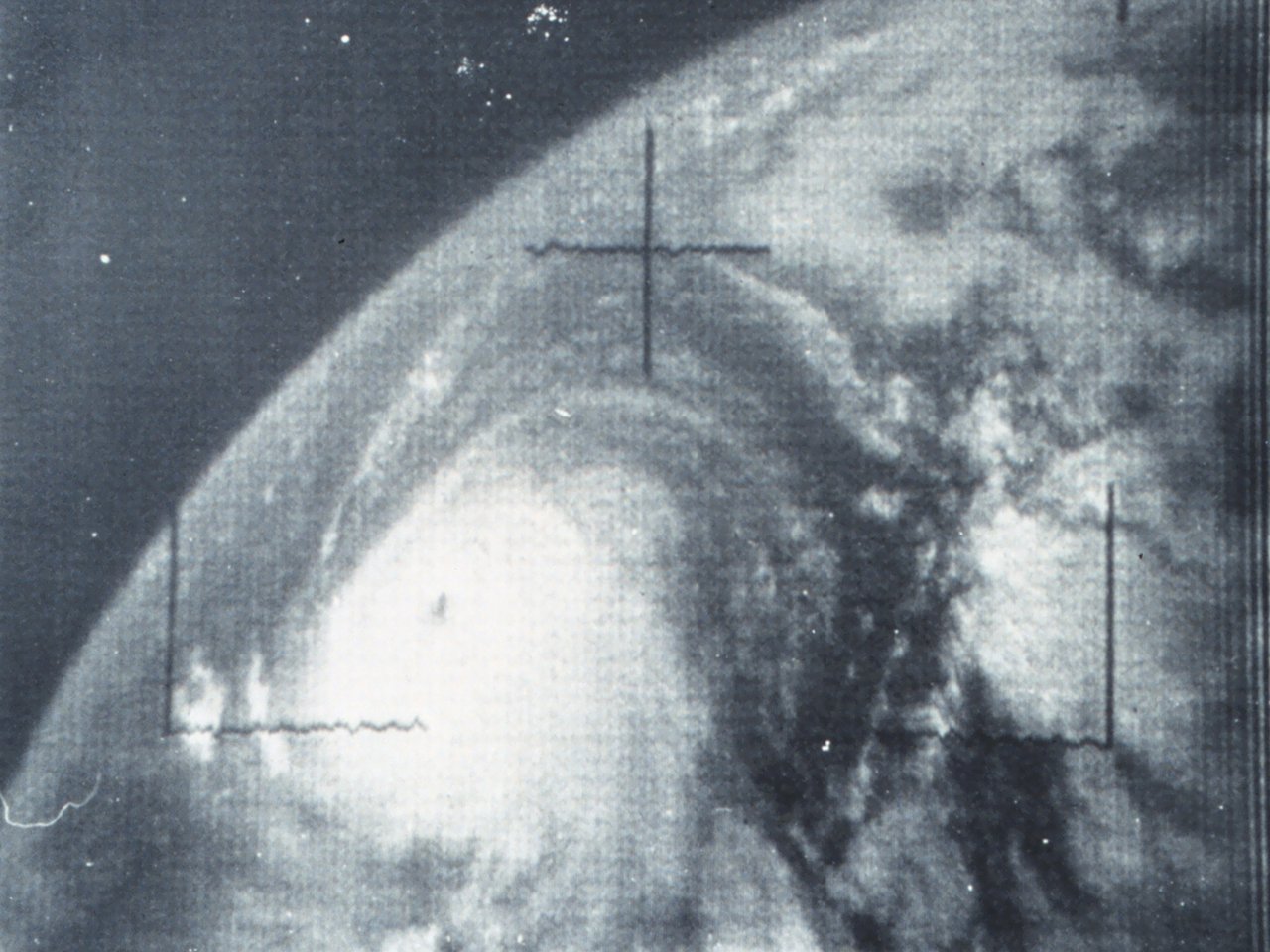
With a building ridge of high pressure to the north, Betsy began moving westward and intensified into a hurricane late on August 31st. Betsy underwent rapid intensification the next 36 hours becoming a strong category hurricane, reaching a maximum intensity of 140 mph (120 knots) and a minimum central pressure of 942 millibars (27.82 inches) by daybreak on September 2nd. Slight weakening commenced thereafter, but Betsy remained a category three hurricane as she headed northwest the next two days, remaining east of the Bahamas. A TIROS-8 visible satellite photo on September 4th shows a well-defined hurricane.
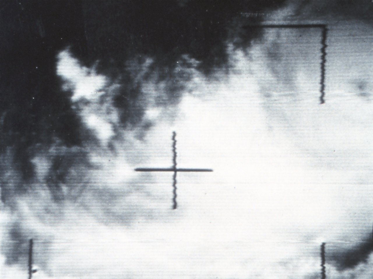
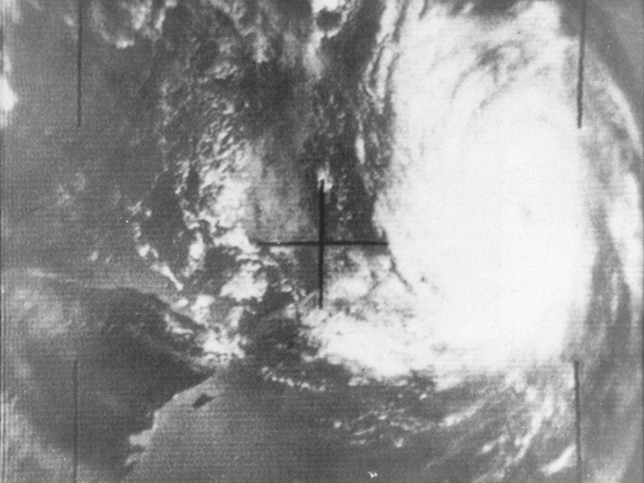
By September 4th, another strong and blocking mid to upper level ridge of high pressure off the U.S. East Coast halted the northward movement of Betsy, making a clockwise loop through daybreak on September 5th. TIROS-8 visible satellite and reconnaissance aircraft confirm Betsy weakened to a category two hurricane. Betsy began a most unusual south to south-southwest track, eventually affecting the Bahamas as shown by TIROS-8 visible satellite imagery on September 7th.
After affecting the Bahamas, strong high pressure ridging to the north of Betsy steered the hurricane quickly westward towards South Florida. Betsy crossed the Florida Keys near Key Largo as a category three hurricane around 6 AM EST on September 8th. The WSR-57 radar at the U.S. Weather Bureau in Miami captured a well-organized hurricane at 7:30 AM EST on September 8, 1965 as it was impacting South Florida and the Keys, and a TIROS-8 visible satellite image at 1:33 PM EST shows the well organized hurricane in the Southeast Gul of Mexico.
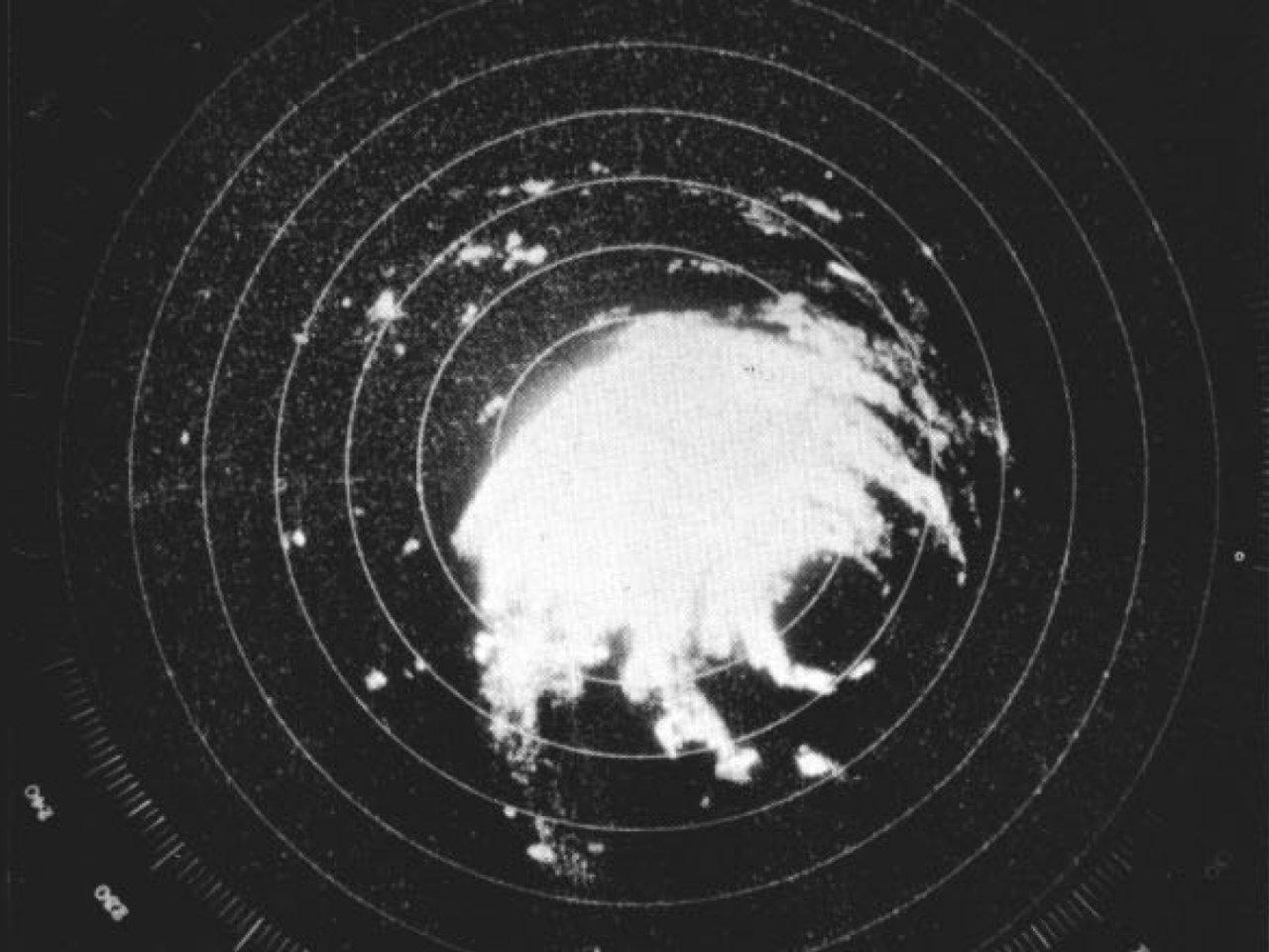
Betsy quickly moved on a west to west-northwest across the Eastern Gulf the remainder of September 8th, eventually turning to the northwest on September 9th heading towards the Louisiana coast. Betsy began to re-intensify during this period, strengthening back to a category four hurricane later that afternoon. The U.S. Naval Air Station New Orleans, LA radar of Hurricane Betsy shortly before landfall shows a well-defined hurricane with a fairly large eye and eyewall structure.
Hurricane Betsy made landfall near Grand Isle around 10 PM CST September 9th as a category four hurricane with maximum sustained winds just over 130 mph (115 knots) and a minimum central pressure of 946 millibars (27.94 inches). Shortly after landfall, the U.S. Weather Bureau New Orleans, LA WSR-57 radar captured the last image of Hurricane Betsy at 10:46 PM CST on September 9, 1965 before power failure. The rapid northwest movement of Betsy allowed the storm to remain a hurricane as far inland as Baton Rouge by daybreak on September 10th. Betsy further weakened to a tropical storm later that morning and afternoon moving north across Northeast Louisiana and northeast across Southwest Arkansas. Click here for an interactive track of Hurricane Betsy.
WIND & PRESSURE:
Betsy was a large category four hurricane as it made landfall across Southeast Louisiana and moved across Central Louisiana. While the highest winds occurred along and east of the track, hurricane force wind gusts were recorded across South Central and Central Louisiana due to the large size. The strongest winds occurred over St. Mary, Iberia, Lafayette, St. Martin, St. Landry and Avoyelles parishes.
Franklin Parish sheriff office reported a minimum sea level pressure of 970.2 millibars (28.65 inches) at 2:35 AM CST, along with a highest sustained windspeed of 68 mph (59 knots) and peak wind gust of 85 mph (74 knots) at 3:30 AM CST September 10th. The highest official sustained windspeed of 49 mph (43 knots) and peak wind gust of 76 mph (66 knots) along with a minimum sea level pressure of 982.1 millibars (29.00 inches) occurred at the Lafayette, LA airport at 3:58 AM CST September 10th. Jennings recorded a sustained windspeed of 45 mph (39 knots), peak wind gust of 70 mph (61 knots), and a minimum sea level pressure of 984.8 millibars (29.08 inches). For complete meteorological statistics, see the Wind and Pressure section.
STORM SURGE:
Due to the hurricane making landfall east of the Atchafalaya River across Southeast Louisiana, storm surge was minimized over South-Central Louisiana. The highest water marks of 3 to 4 feet MSL were found east of Cypremort Point across St. Mary Parish. Much higher storm surge values of 10 to 15 feet MSL occurred along and east of the track over Southeast Louisiana. For other storm surge and high-water marks across our region, see the Storm Surge section.
RAINFALL:
Due to the rapid movement of Hurricane Betsy, average rainfall of 3 to 5 inches occurred over Central and South-Central Louisiana. Higher rainfall amounts of 5 to 12 inches were recorded over Southeast Louisiana. For complete rainfall totals reported across our region, see the Rainfall section.
TORNADOES:
No tornadoes were reported in Louisiana.
|


