Overview
Isolated thunderstorms developed along a decaying outflow
boundary that was draped across north central Nebraska during the
afternoon hours on Tuesday, July 16 2024. Aided by a narrow region
of rich low- level moisture, the storms were able to quickly
become severe and produce widespread wind and hail damage from
Brown and Rock Counties south southeast through the entirety of
Custer County. The thunderstorm produced several down bursts,
which stripped crops to stubble and toppled trees.. In addition,
numerous power poles were snapped or toppled and irrigation pivots
destroyed along the entire life cycle of the supercell
thunderstorm. In the city of Broken Bow, a down burst impacted a
commercial building, where the roof was detached and thrown to the
south impacting high tension power lines and adjacent buildings.
Tree damage and loss was noted in the city of Broken Bow as well.
The heaviest concentration of outflow wind was from just south of
Merna, Nebraska, to the south southeast across Broken Bow to
Pressey Wildlife Management Area. In this area, thunderstorm wind
speeds ranged from 60 to 95 mph.
The storm was largely outflow dominant through its life cycle,
though a brief tornado was observed on the far western edge of the
city of Broken Bow. The tornado was in contact with the earth for
less than two seconds, though in that time it was able to toss a
800 pound trailer into the far front quarter panel of an adjacent
car. The tornado was observed by a storm spotter and capture on a
surveillance camera.
Tornadoes:
|
Tornado
Track Map
|
||||||||||||||||
The Enhanced Fujita (EF) Scale classifies tornadoes into the following categories:
| EF0 Weak 65-85 mph |
EF1 Moderate 86-110 mph |
EF2 Significant 111-135 mph |
EF3 Severe 136-165 mph |
EF4 Extreme 166-200 mph |
EF5 Catastrophic 200+ mph |
 |
|||||
If you have photos of the tornado from this event and wouldn't mind sharing them, please email us at:
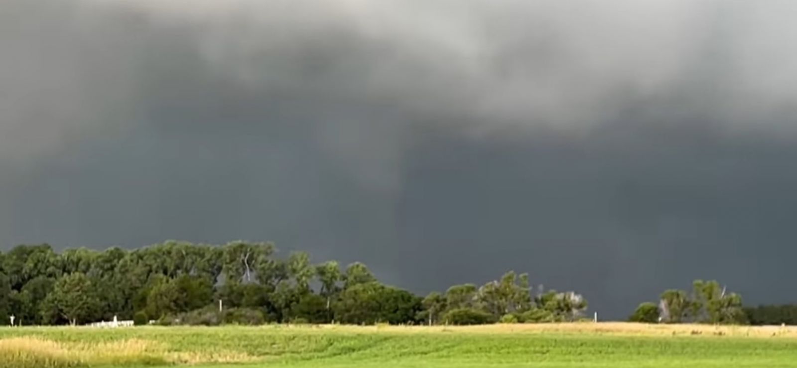
Photo Courtesy of John McKinney
 |
Media use of NWS Web News Stories is encouraged! The National Weather Service in North Platte would like to send our gratitude to the Custer County Emergency Management Office for collaborating with us on this damage survey. |
|


