Overview
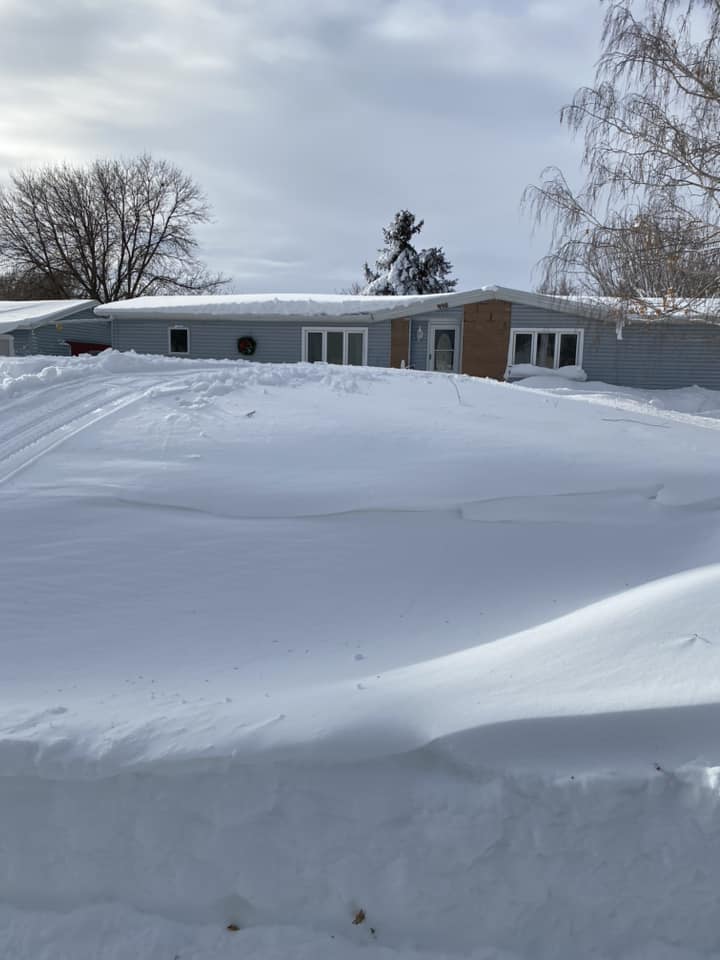
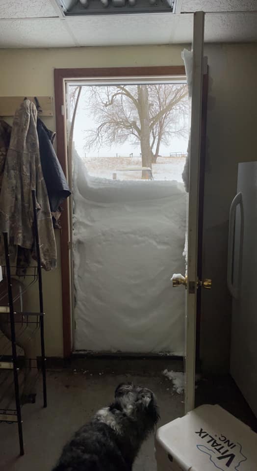
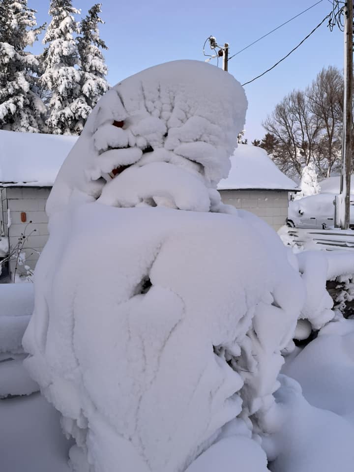
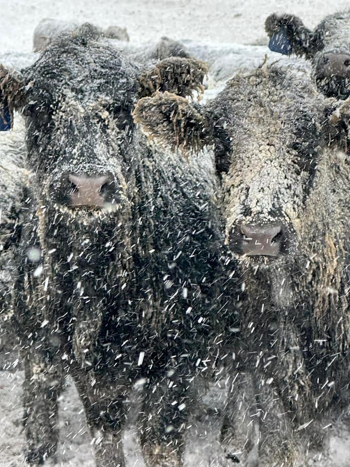
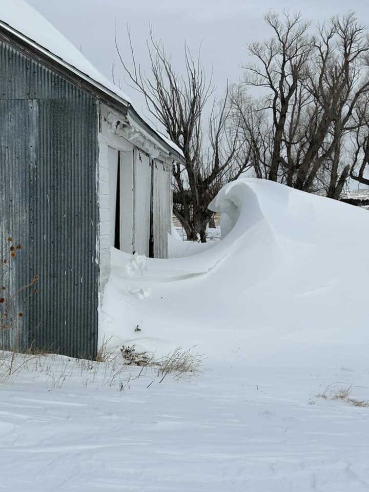
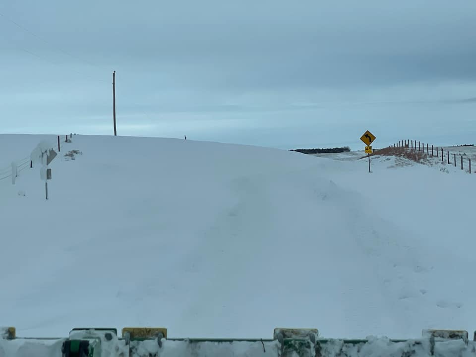
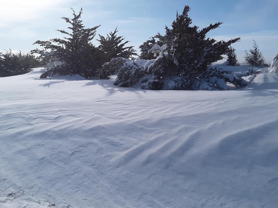
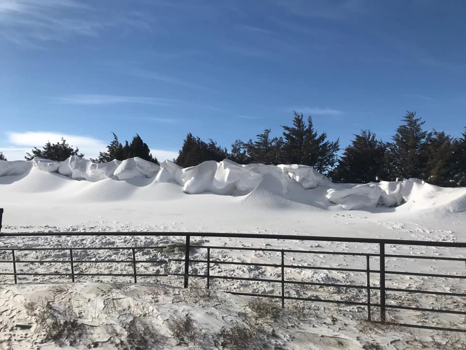
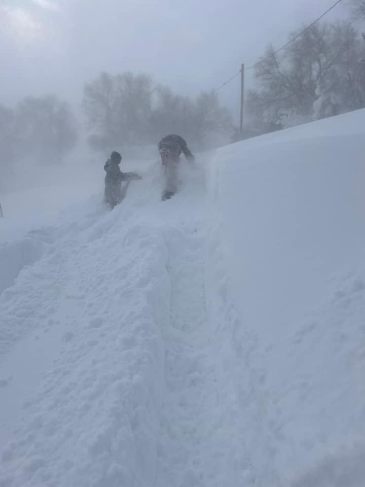
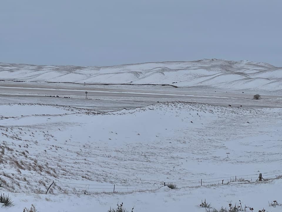
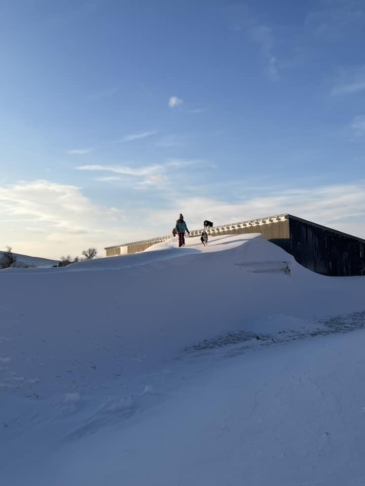
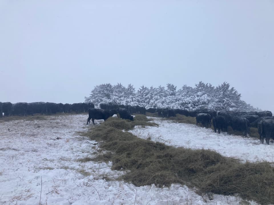
A powerful storm system crossed the Rocky Mountains early during the week of December 11, 2022, then nearly stalled over the Great Plains. The result was an initial surge of warm air creating rain and even thunderstorms for Nebraska, then a switch to heavy snow starting in the panhandle. Northwest winds grew stronger throughout the event, creating several days worth of blizzard conditions to much of western and north central Nebraska. What set this storm apart from previous blizzards was the prolonged period of strong winds after the bulk of the snowfall ended. Impacts included several foot-high drifts of snow in the Sandhills and multi-day highway and interstate closures affecting the immediate area and beyond.
Photos
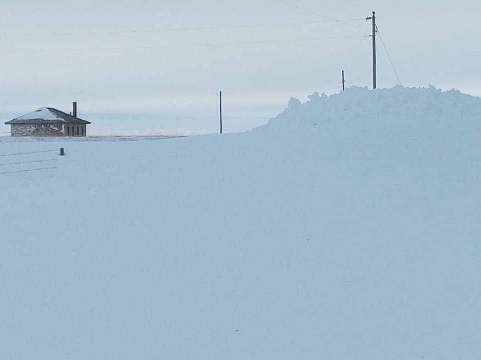
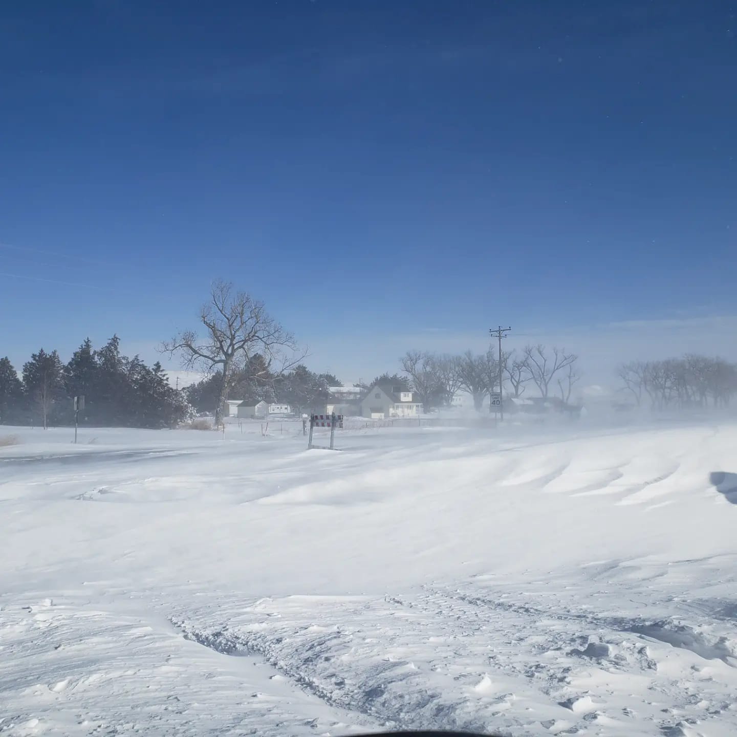
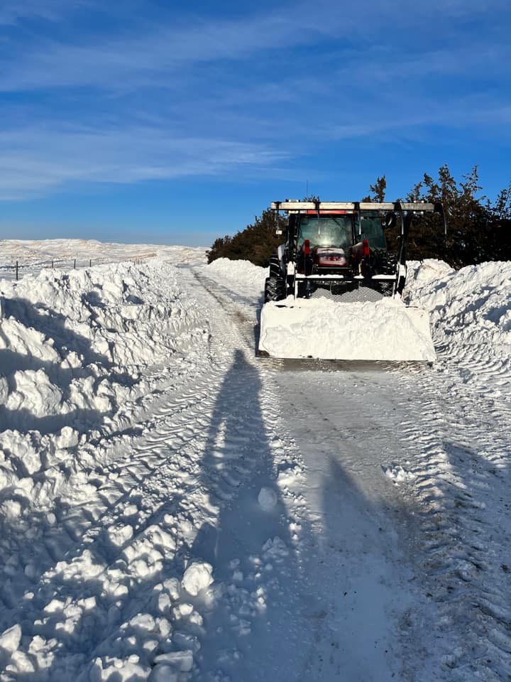
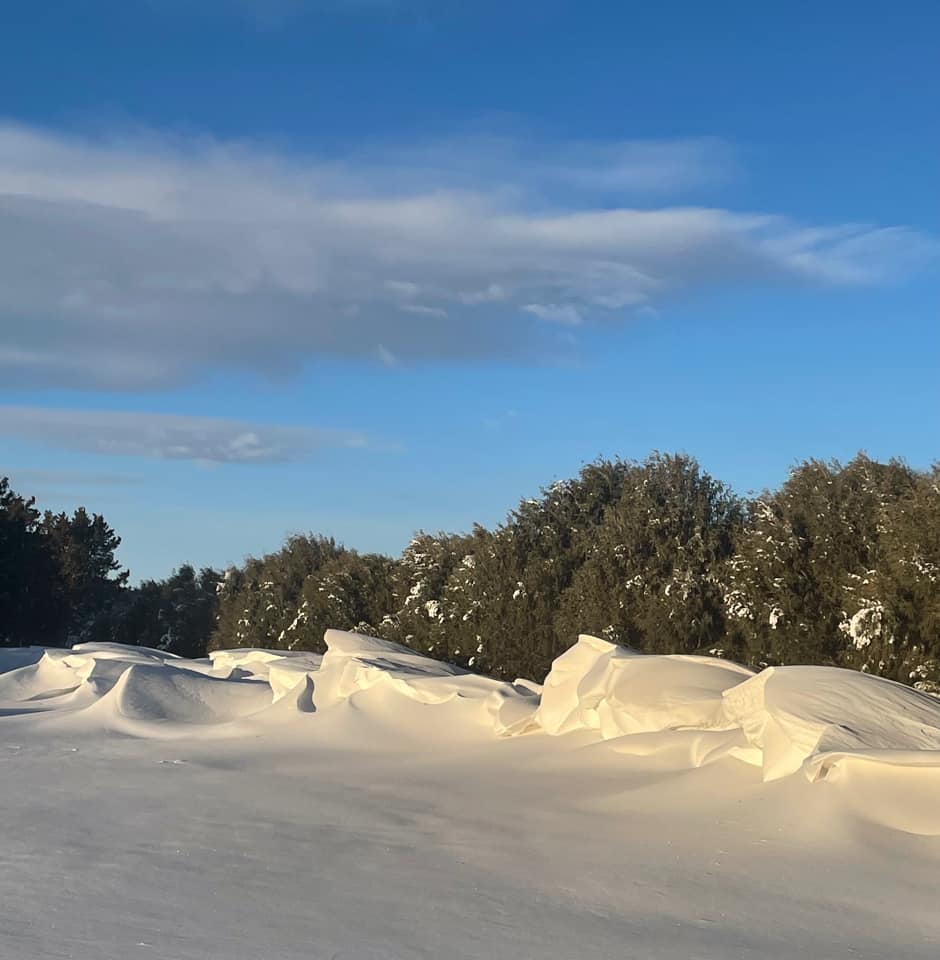
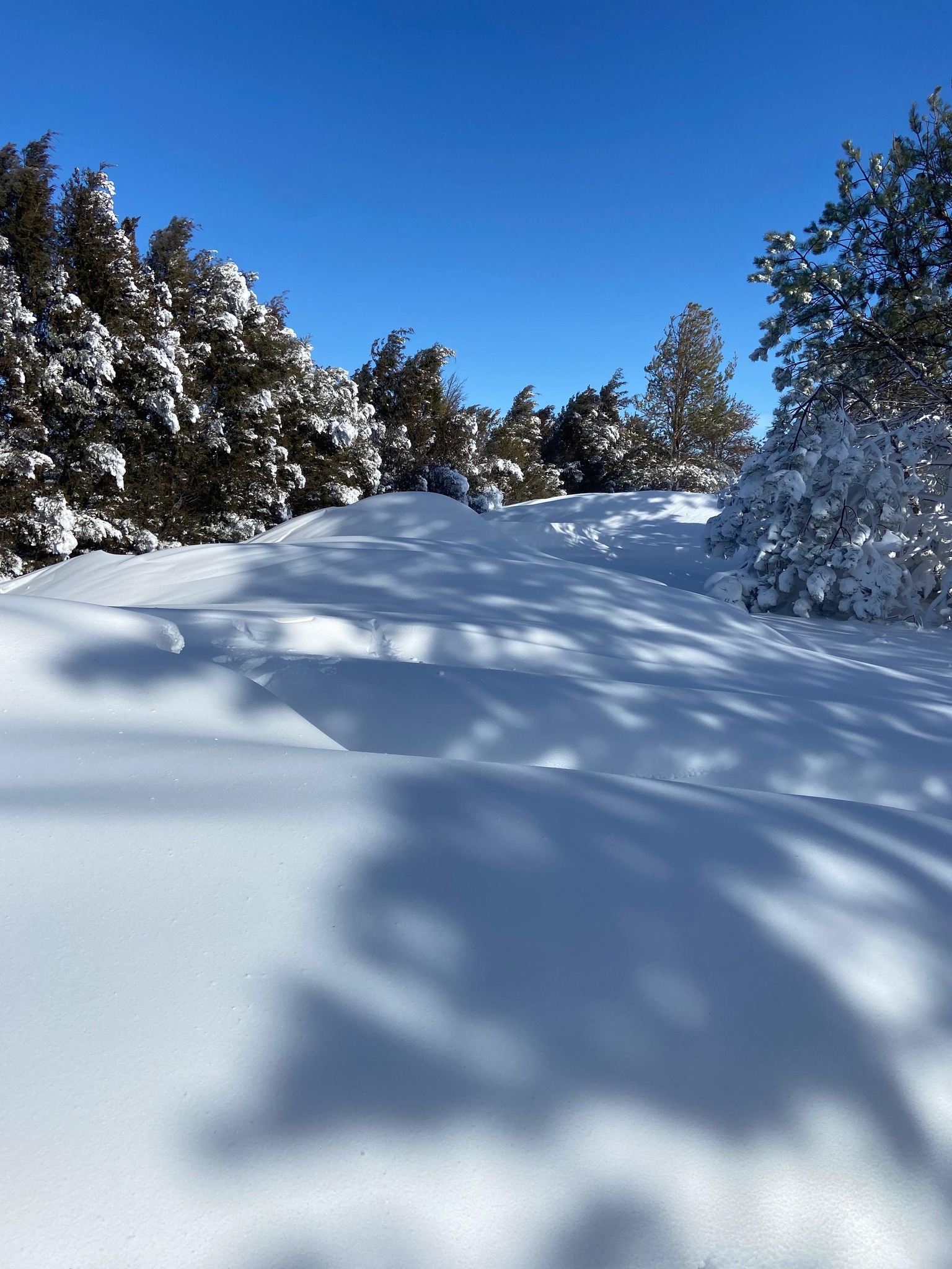
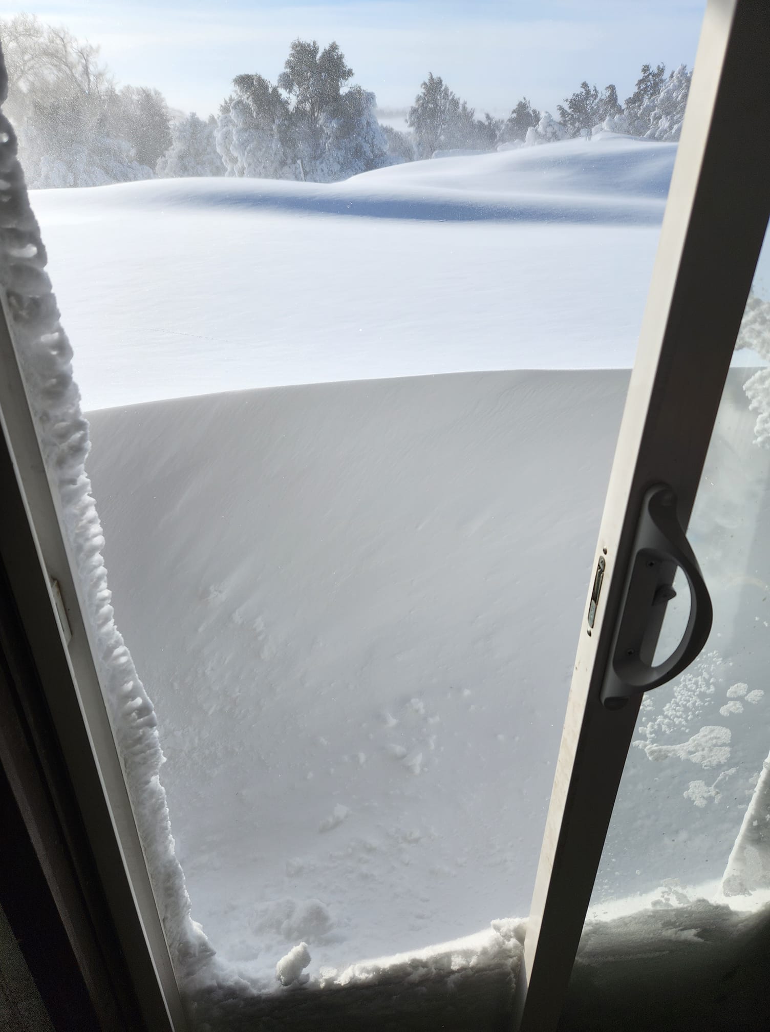
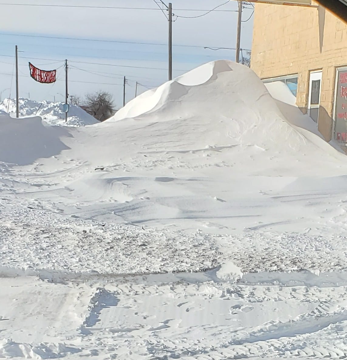
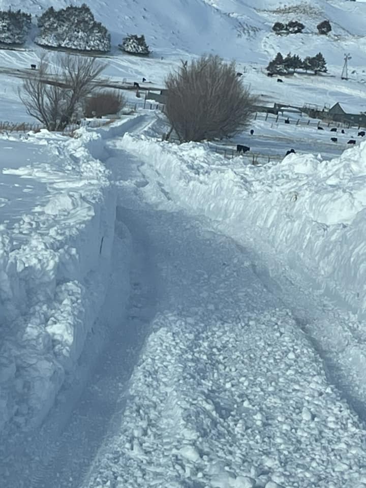
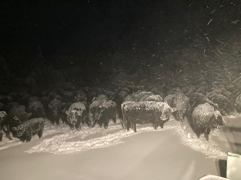
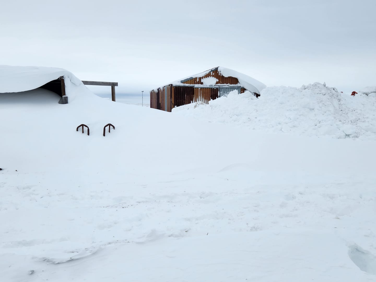
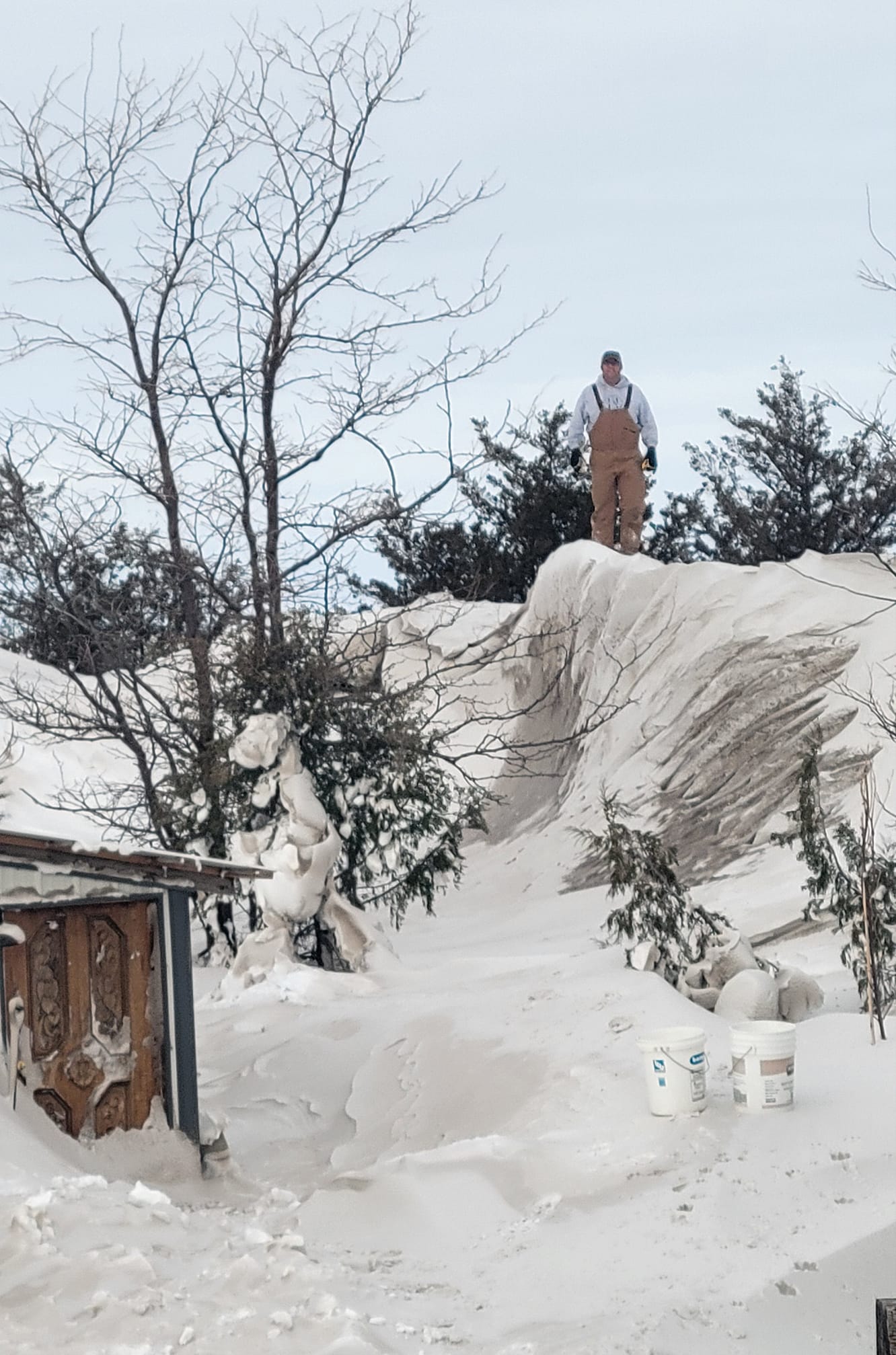
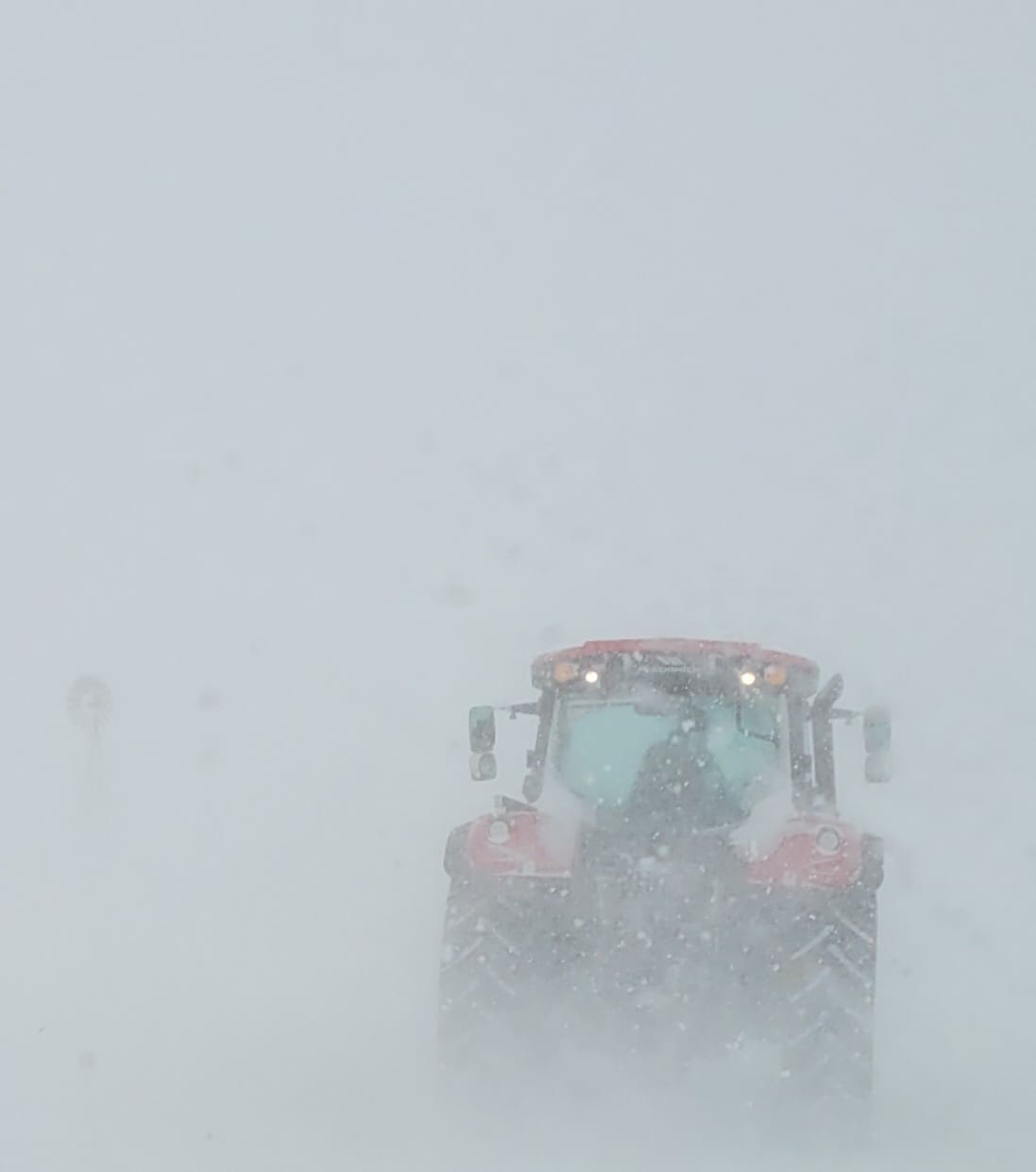
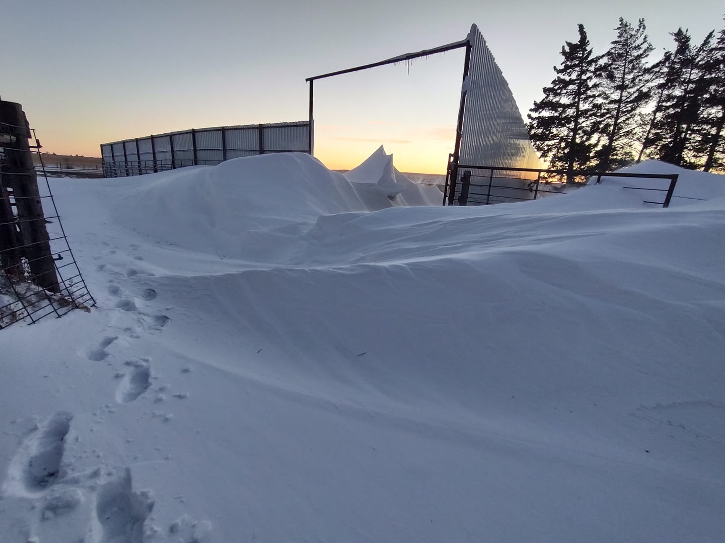
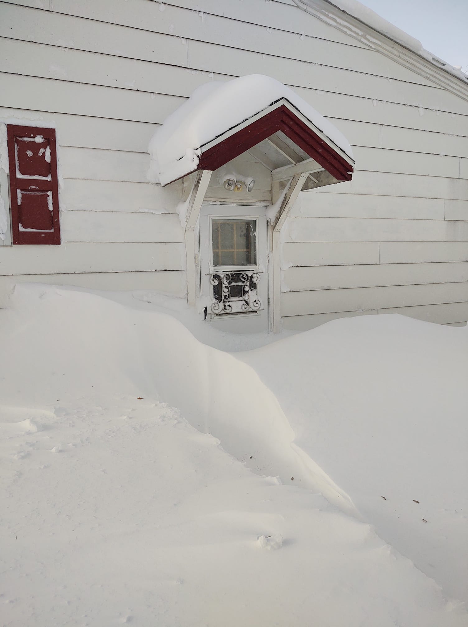
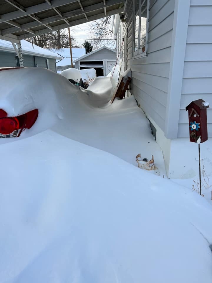
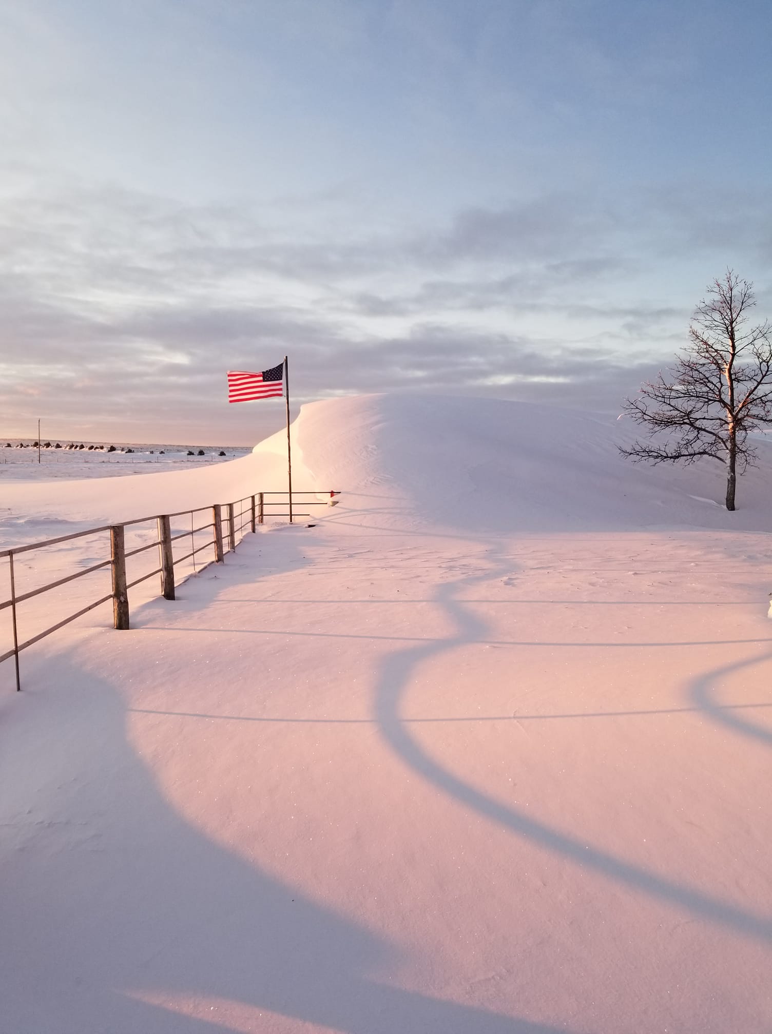
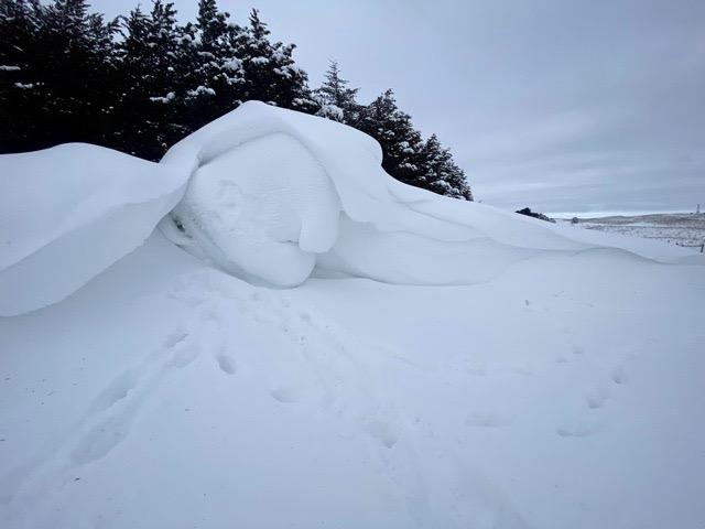
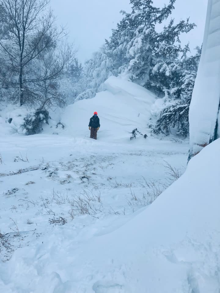
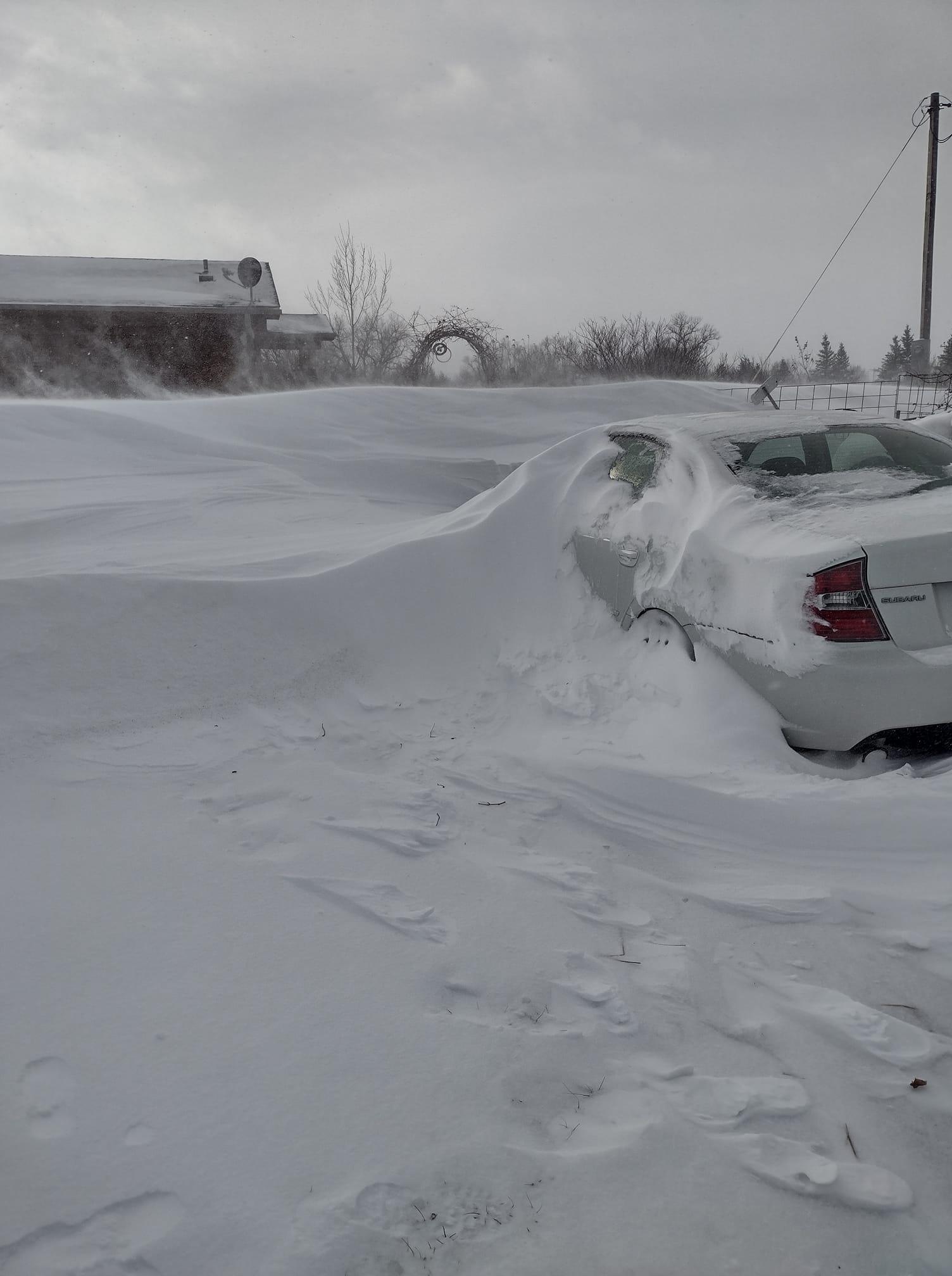
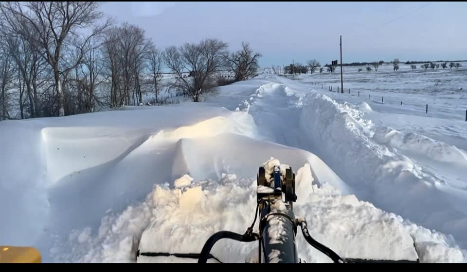
Some photos from around the Sandhills and the eastern panhandle:
 |
 |
 |
 |
| Cody (source: Liz Ravenscroft) |
Cody (source: Meghan Peterson) |
near Cody (source: Adele Albert) |
near Cody (source: Ashely Sorenson Kasner) |
 |
 |
 |
 |
| near Crookston (source: Michelle Garwood) |
Ellsworth (source: Nicole Louden) |
near Gordon (source: Stetson Ostrander) |
near Grainton (source: Ronda McCoy) |
 |
 |
 |
 |
| near Grant (source: Melissa Sauder) |
near Grant (source: Erica Turner) |
Hay Springs (source: Sherry Ehrman) |
near Hyannis (source: Tiffany Parks) |
 |
 |
 |
 |
| near Johnstown (source: Henry Beel) |
near Kilgore (source: Tammy Peterson) |
near Lodgepole (source: Nicole Frank) |
near Mullen (source: Don Cox) |
 |
 |
 |
 |
| near Mullen (source: Mary Jo O'Brien Walker) |
near Nenzel (source: Bethany McNare Swendener) |
near Ogallala (source: Clara Robles) |
near Oshkosh (source: Casper Corfield) |
 |
 |
 |
 |
| near Oshkosh (source: Jeanette Dean) |
Springview (source: Linda Hallock) |
Valentine (source: Holly Critchfield) |
near Valentine (source: Karen Phillips) |
 |
 |
 |
 |
| near Valentine (source: Weslee Beck) |
near Valentine (source: Kendra Hanson) |
near Valentine (source: Mike Petersen) |
near Valentine (source: Timarie Buer) |
 |
 |
 |
 |
| near Valentine (source: Tom Vonheeder) |
near Whitman (source: Joan Monahan) |
near Whitman (source: Jordyn Phipps) |
near Wood Lake (source: Byron Burdick) |
We received over 100 photos from around the area for this storm! To see more, visit our Facebook page:
Radar
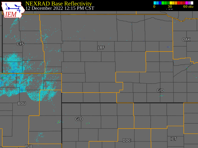
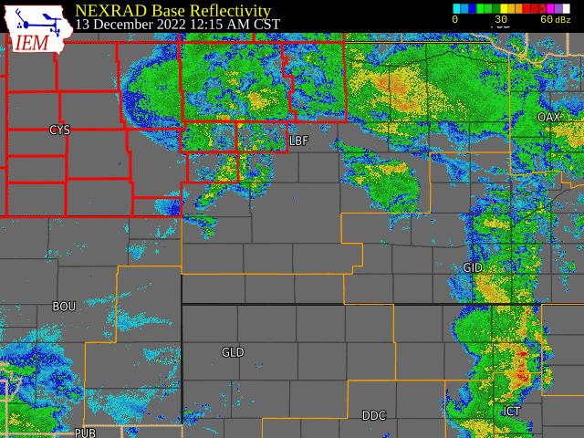
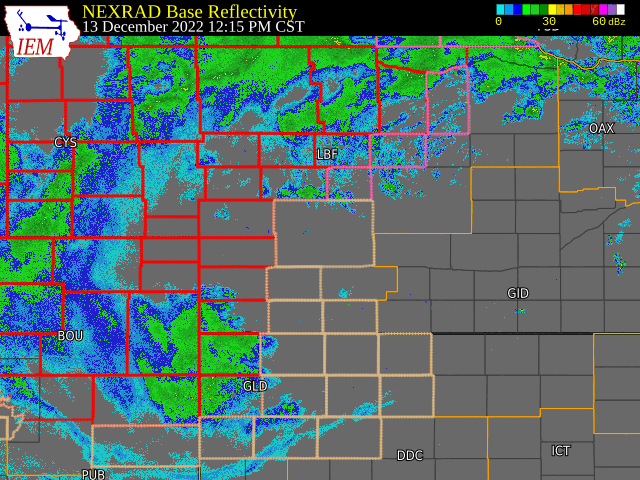
Radar loops and winter weather warnings from Monday afternoon through Wednesday morning (12/12 - 12/14)
Red outline = Blizzard Warning, Pink outline = Winter Storm Warning, Tan outline = Winter Weather Advisory
 |
 |
 |
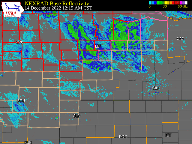 |
| Monday PM | Tuesday AM | Tuesday PM | Wednesday AM |
Radar loops courtesy of the Iowa Environmental Mesonet.
Storm Reports
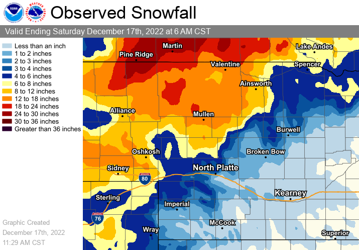
Storm total snowfall map (sources: observer reports, radar estimates, satellite data)
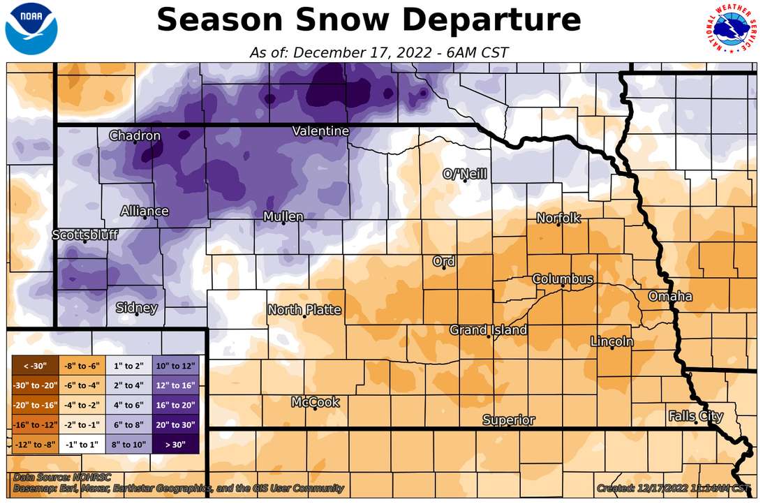
Season-to-date (as of 12/17) snowfall departure
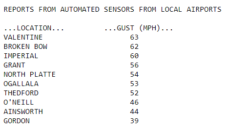
Peak wind gusts from Dec. 13 to Dec. 16
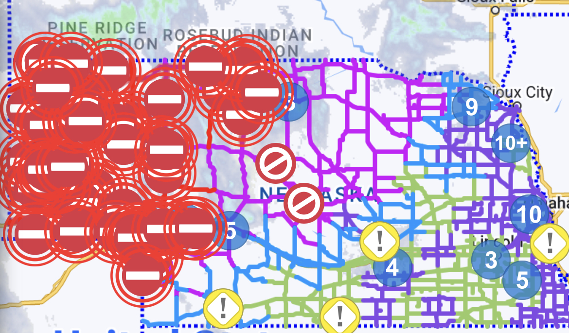
Road closure map from Nebraska Dept. of Transportation during the morning of Wed. Dec. 14
Environment
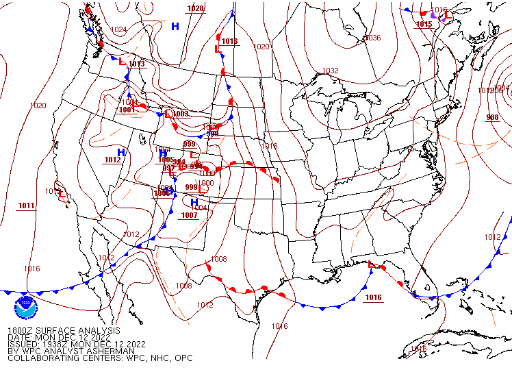
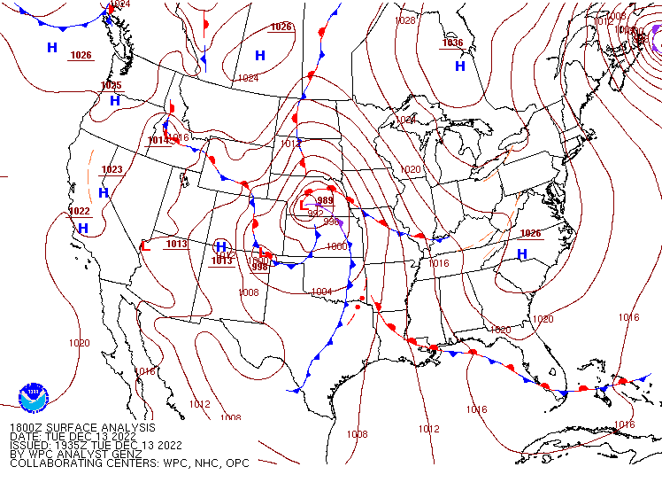
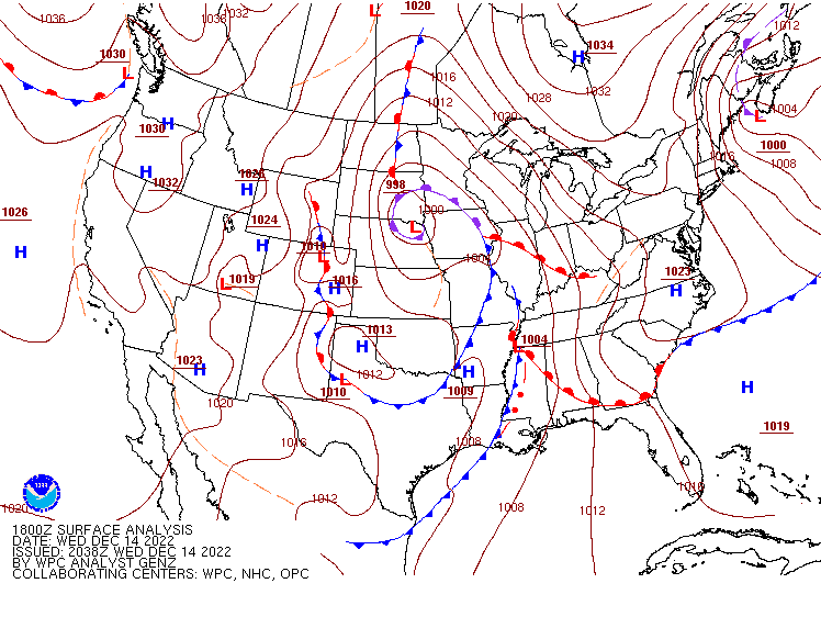
Surface pressure maps from Monday, Dec. 12, through Thursday, Dec. 16:
 |
 |
 |
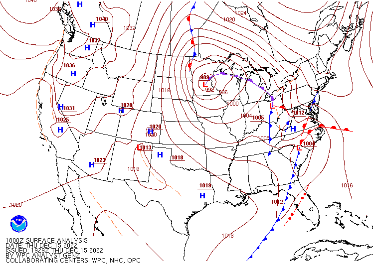 |
| Monday PM | Tuesday PM | Wednesday PM | Thursday PM |
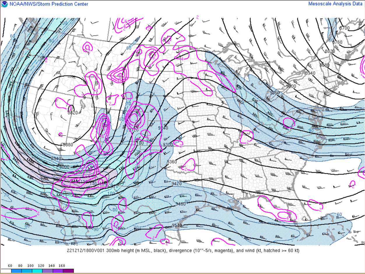
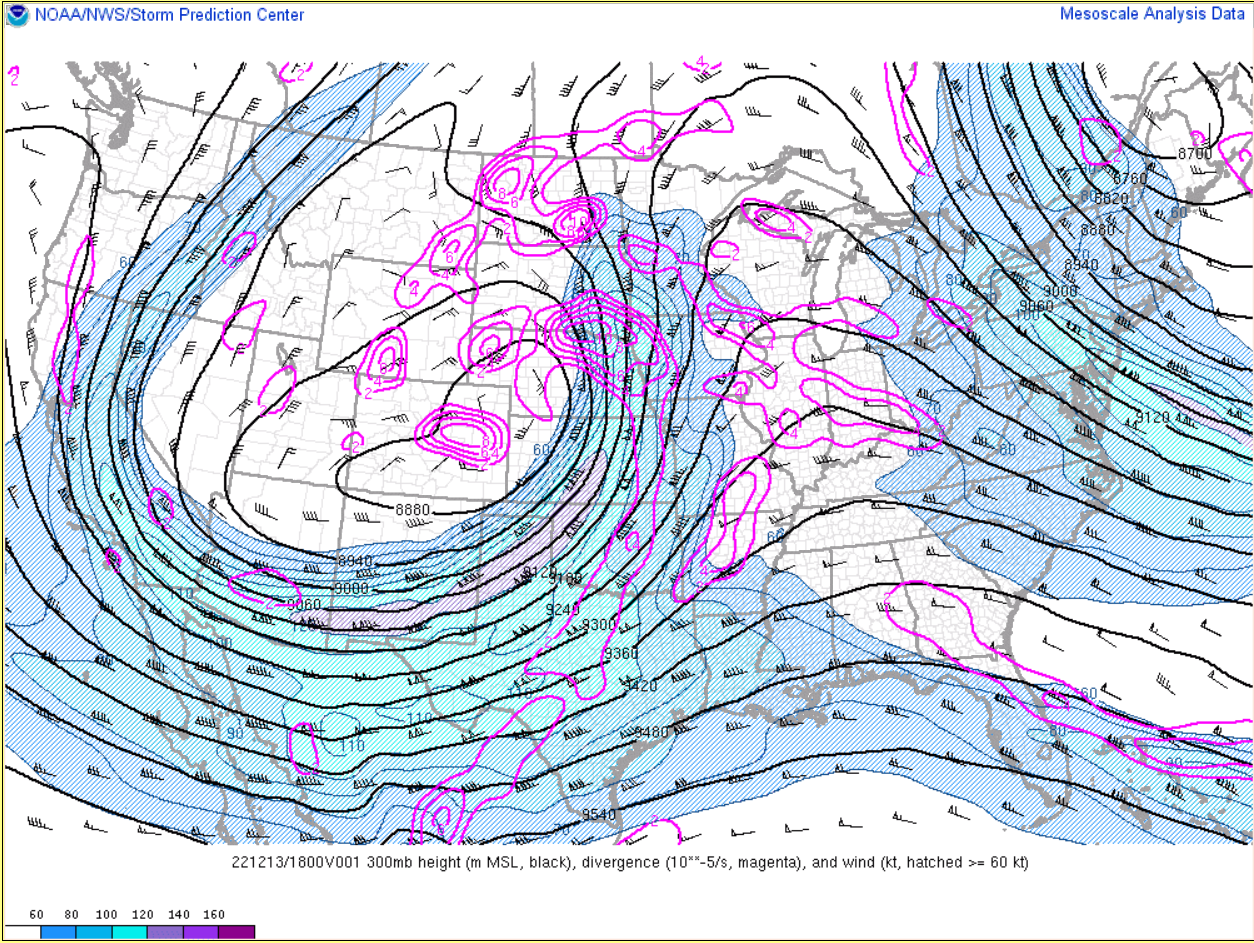
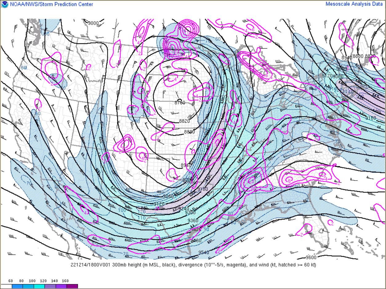
Jet stream maps from Monday, Dec. 12, through Thursday, Dec. 16:
 |
 |
 |
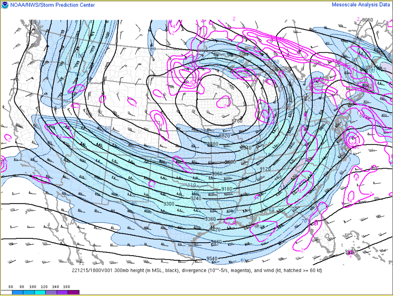 |
| Monday PM | Tuesday PM | Wednesday PM | Thursday PM |
 |
Media use of NWS Web News Stories is encouraged! Please acknowledge the NWS as the source of any news information accessed from this site. |
|

