North Platte, NE
Weather Forecast Office
A strong storm system moved into the Central U.S. Wednesday, December 15, 2021. The system created numerous impacts across the state of Nebraska. Across western and north central Nebraska impacts included strong gusty winds, blowing dust, blowing snow, snow squalls, thunderstorms and very cold air rushing in behind the front.
Temperatures ahead of the system were well above average with highs in the 60s. A few locations including North Platte and Imperial saw record high temperatures for December 15th.

The first impact from the system was the strong winds that started first across portions of western and southwest Nebraska in the early afternoon. A High Wind Warning was issued for all of Nebraska. For western and southwest Nebraska the High Wind Warning was in effect from 12pm CT until 9pm CT.

Some of the strongest wind gusts were seen between 2pm CT and 6pm CT, with gusts greater than 70 mph in some locations.

In the early afternoon portions of western and southwest Nebraska saw areas of blowing dust. Rain and isolated embedded thunderstorms developed across southwest Nebraska into the Sandhills and north central Nebraska. The isolated thunderstorm activity was mainly seen along and east of HWY 83. Further to the east across central and eastern Nebraska, they saw strong to severe thunderstorms, including tornadic storms.


By mid to late afternoon rain started to change to snow across the west with some snow squalls forming. 4 snow squall warnings were issued through the afternoon.
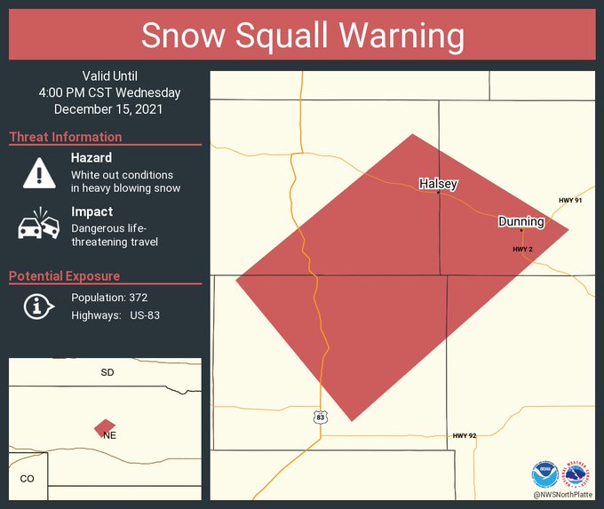

For more information on snow squalls check out this informational video link.
Cold air rushed in quickly behind the system with temperatures dropping into the teens and wind chills values in the single digits and teens.
For more information on impacts across central and eastern Nebraska visit our neighboring offices webpages.
Hastings-https://www.weather.gov/gid/december152021_tornadoes_winds_fires_snow
Omaha-https://www.weather.gov/oax/dec1521
HAZARDS
Active Alerts
National Radar
National Hurricane Center
Storm Prediction Center
Weather Prediction Center
River Flooding
Decision Support
Submit a Storm Report
Recent Storm Reports
CURRENT CONDITIONS
CoCoRaHS
Enhanced Data Display
Local Radar
National Radar Mosiac
Observations
National Snow Cover
Precipitation Mapped
Regional Links
Satellite
Snowfall Analysis
FORECASTS
Area Forecast Discussion
Aviation Weather Center
Local Aviation Weather
Fire Weather
Recreation Forecast
National Graphical Forecast
Local Graphical Forecast
CLIMATE
Local Climate
National Climate
North Platte - Daily
North Platte - Monthly
Valentine - Daily
Valentine - Monthly
Broken Bow - Daily
Broken Bow - Monthly
Imperial - Daily
Imperial - Monthly
NIDIS Drought
NOAA Climate Science
Local Storm Reports
Local Drought Statement
US Dept of Commerce
National Oceanic and Atmospheric Administration
National Weather Service
North Platte, NE
5250 E. Lee Bird Drive
North Platte, NE 69101-2473
308-532-4936
Comments? Questions? Please Contact Us.


