Routine forecasts prepared each day include the weather elements below:
A. Headlines - A headline is used when Red Flag Warnings and/or Fire Weather Watches are in effect. The headlines will include the Warning or Watch type, location and effective time period. The location will be described in terms of geographic or other easily identified markers, such as cities, towns, rivers, or highways. The headline for a warning and/or watch will also be included in each appropriate zone grouping.
B. Discussion - The discussion is a brief, clear, non-technical description of weather patterns that will influence the weather in the County Warning Area. The discussion will focus on the first two days of the forecast period and especially on fog potential at night into early morning. Any weather that has an major impact on forestry operations, such as severe or winter weather, shall also be included in the discussion section.
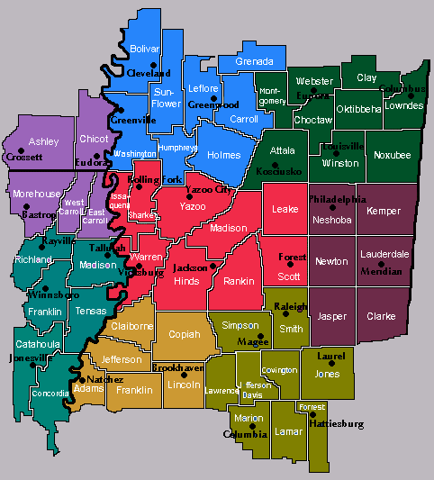
C. FIPS UGC Coding and County Description - The FWF format (UGC) is used to identify each specific forecast zone on a county level within a Fire Weather Forecast product.
D. Fire Weather Forecast Periods - The fire weather forecast will have three 12-hour periods in the morning forecast and four 12-hour periods in the afternoon forecast. During these periods, the standard and locally requested elements are included in each period of the forecast. Both issuances will have an extended outlook out to six days in the morning and seven days in the afternoon in each fire weather zone. In the general outlook section, a forecast period is a 24-hour time slot, beginning at midnight and ending at midnight the next day.
E. Standard Elements of the Sky, Weather, Chance of Precipitation - These descriptors generally follow the same guidelines as those used in the public zones, which is issued to the general public.
CLEAR - 0/10 TO 1/10 opaque clouds...CLR.
MOSTLY CLEAR - less than 4/10 opaque clouds, most clouds are thin and not blocking the sun out...MCLEAR
PARTLY CLOUDY- 3/10 to 5/10 of sky covered by clouds...PTCLDY.
MOSTLY CLOUDY- 6/10 to 8/10 of sky covered by clouds...MOCLDY.
CLOUDY- 9/10 or greater of sky covered...CLDY.
F. Standard Elements of Maximum and Minimum temperatures - Expected highs and lows during each of the 12-hour periods. There will be 24 hour trends of the first two periods.
G. Standard Elements of Maximum and Minimum relative humidity - Expected maximum value at night and minimum value on days and minimum value on days during normal weather patterns during each of the 12-hour intervals. There will be 24 hour trends of the first two periods.
H. Standard Elements of the Wind - The general true 16 points of a compass direction and speed of the 20 foot wind for each period. Maximum and gusty winds should be included, especially high gusty variable winds.
I. Standard Elements in the Extended - It will include general sky conditions, chance of precipitation and surface windspeeds, including Windy and Breezy if necessary. The extended will be in each fire weather zone of the forecast. Maximum and minimum expected temperatures will be included.
J. Optional Elements - The local optional elements for the WFO Jackson forecast will include:
1. Stag index
2. Ventilation Index
3. Category Day Index
4. Stability
5. Windshifts
6. Precip Begins/Ends/Amounts/Duration
7. Maximum LVORI
8. Afternoon Mixing Height/Transport Direction/Transport Speed
9. Remarks
10. Dispersion Index
11. SILT 500 m...Surface Inversion Lifted Temperature(temp needed to reach at surface to break inversion)

