National Weather Service United States Department of Commerce
Click a location below for detailed forecast.

Last Map Update: Tue, Nov 12, 2024 at 4:26:15 pm CST

Isolated severe storms are possible across portions of central and south Mississippi and northeast Louisiana Wednesday afternoon into Wednesday evening. A brief tornado can't be ruled out with the most intense storms. Damaging wind gusts will also be possible.
2-3 inches of rain in a short amount of time will make flash flooding possible especially in low lying and urban areas Wednesday afternoon through Wednesday night.
Look for mostly sunny to partly cloudy skies across the area today, with an isolated shower possible across the Pine Belt late this afternoon. Highs will top out in the 70s.
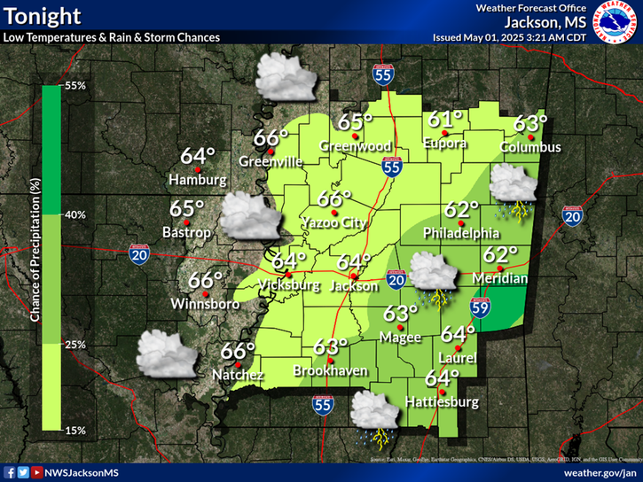
Clouds will gradually increase from the south tonight while low chances of light rain continues across the south. Lows will range from the mid 50s north to the mid 60s south.
Widespread showers & storms are expected across the area Wednesday, especially during the afternoon as a cold front moves through the region. Highs will range from the upper 60s to middle 70s.


SAFE Page Briefing Probabilistic Graphics Past Weather Events Precip Maps Weather History
SAFE Page Briefing Probabilistic Graphics Past Events Recent Rainfall Weather History
Forecast Discussion
Gridded Forecast Hourly Forecast Forecast Discussion Local Climate Tornado Database Submit Storm Report
    Be Prepared Estar Preparado    
    Be Prepared Estar Preparado