
Banner image courtesy Mark Anderton
North Hinds County EF-1 Tornado
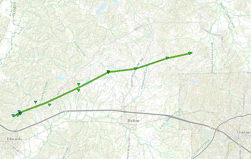
Click on map above to see entire damage point notation and damage pictures at select points.
|
Event Summary
This tornado began along Goat Hill Road snapping several trees. A large tree branch fell on a fence at the intersection of Goat Hill and Anderson roads. The tornado was rather broad as it moved northeast generally along Highway 22. Along Good Hope Road, a tin carport was destroyed and several trees were broken and uprooted. Significant roofing material was torn off a house along Highway 22, and some of the roof material was thrown across the street destroying a fence on the other side. The tornado continued northeast snapping and uprooting several trees near the intersection of Queen Hill Road and Farr Road. The tornado was most intense as it crossed Williams Lake Road just north of Live Oak Road where numerous trees were snapped and uprooted. The tornado weakened as it crossed Bolton-Brownsville Road and Jimmy Williams Road snapping a few trees as it passed. It dissipated just after crossing McGuffee Road where a couple trees were uprooted.
|
Rating:
(Click for EF Scale) |
EF-1 |
| Estimated Maximum Wind: |
110 mph |
| Fatalities/Injuries: |
none |
| Damage Path Length: |
13.75 miles |
| Maximum Path Width: |
500 yards |
| Approximate Start Point/Time: |
1.5 N Edwards
5:20 pm
|
| Approximate End Point/Time: |
6.25 NNW Clinton
5:42 pm
|
|

