Jackson, Mississippi
Weather Forecast Office

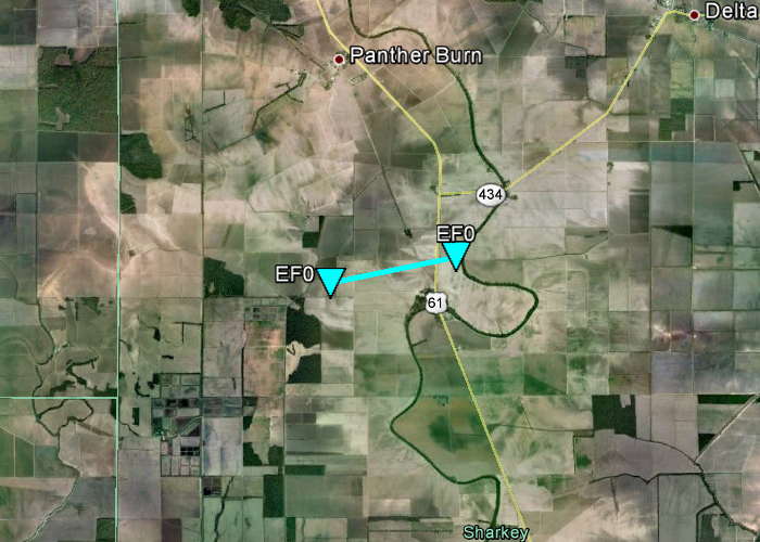
Sharkey County Tornado
Click on map above to see entire damage point notation and damage pictures at select points.
|
Event Summary This brief tornado touched in an open field west northwest of Nitta Yuma then tracked east northeastward. It then crossed U.S. Highway 61 between the Nitta Yuma community and MS Highway 434. The tornado was captured on video as it crossed the highway. No damage occurred. |
|
US Dept of Commerce
National Oceanic and Atmospheric Administration
National Weather Service
Jackson, Mississippi
234 Weather Service Dr.
Flowood, MS 39232
601-936-2189
Comments? Questions? Please Contact Us.

