Jackson, Mississippi
Weather Forecast Office

Attala County Tornado
Click on Map Below to Zoom In/Out and View Damage Notation
|
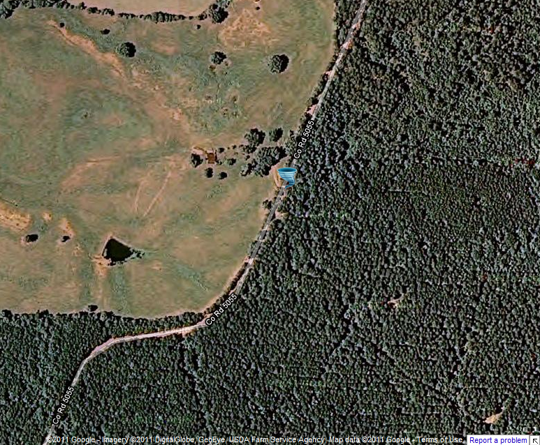
Event Summary The tornado touched down in a field and moved northeast destroying an old barn, uprooting a few trees, and snapping large limbs off of a few other trees as it crossed a field. The tornado lifted just before crossing County Road 5055, about 3 miles north of Zama. |
|
US Dept of Commerce
National Oceanic and Atmospheric Administration
National Weather Service
Jackson, Mississippi
234 Weather Service Dr.
Flowood, MS 39232
601-936-2189
Comments? Questions? Please Contact Us.

