Jackson, Mississippi
Weather Forecast Office

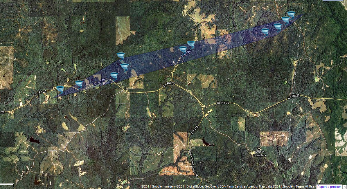
Clarke County Tornado
|
Event Summary The tornado first touched down along Highway 18 and tracked east northeast to at least County Road 421. It is possible that this tornado tracked into Alabama since it was still snapping trees about a half mile from the state border. Hundreds of trees were snapped and uprooted. A roof to a house was damaged, two outbuildings were heavily damaged and a deer stand was destroyed. |
|
 |
 |
 |
 |
US Dept of Commerce
National Oceanic and Atmospheric Administration
National Weather Service
Jackson, Mississippi
234 Weather Service Dr.
Flowood, MS 39232
601-936-2189
Comments? Questions? Please Contact Us.

