Jackson, Mississippi
Weather Forecast Office

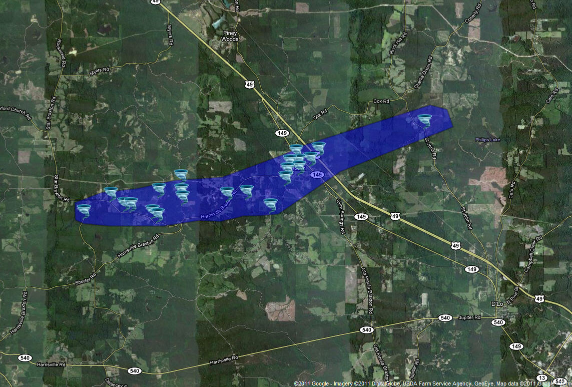
April 4, 2011 Simpson County Tornado
Click on Map Below to Zoom In/Out and Damage Notation
|
Event Summary This tornado developed west of Braxton near Barney Smith Road and moved east northeast through northern Simpson county...through the town of Braxton and lifting near St. John Road east of Braxton. Many trees were snapped and uprooted...some falling on houses...in a convergent pattern along its path. The tornado was a half to three quarters of a mile wide for most of its path. |
|
US Dept of Commerce
National Oceanic and Atmospheric Administration
National Weather Service
Jackson, Mississippi
234 Weather Service Dr.
Flowood, MS 39232
601-936-2189
Comments? Questions? Please Contact Us.

