Jackson, Mississippi
Weather Forecast Office
 |
View Larger Map
Download KML file
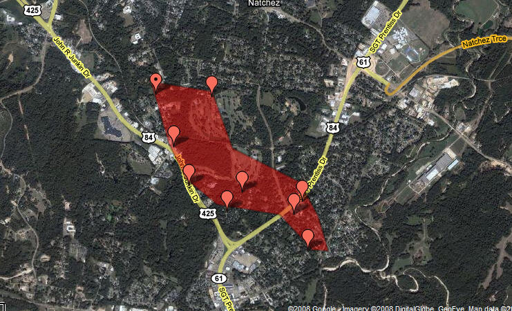
Adams County Tornado
Location: Adams County
Time of Event: 720 PM 12/9/08
Beginning Point: 1 SW Natchez
Ending Point: 3 E Natchez
Rating: EF1, 110 MPH
Path Length: 6.3 miles
Maximum Width: 800 yards
Fatalities: 0
Injuries: 0
Summary of Damages: The tornado track started just south of the city limits of Natchez, tracked northeast across the southeast side of the city, and then moved into unincorporated areas east of the city. Numerous hardwood and softwood trees were snapped and uprooted along the path. Around 50 homes were damaged, mostly from trees falling on them. Six commercial buildings were damaged, mainly roof damage. One power pole was snapped and power lines were down in several locations along the path.
 |
 |
 |
 |
US Dept of Commerce
National Oceanic and Atmospheric Administration
National Weather Service
Jackson, Mississippi
234 Weather Service Dr.
Flowood, MS 39232
601-936-2189
Comments? Questions? Please Contact Us.

