|
THIS DAY IN HISTORY ARCHIVE HAZARD CRITERIA WEATHER GLOSSARY SOCIAL MEDIA
|
|
|
|
| Routine Products |
Non-Routine Products
|
| |
|
|
|
| Observations |
Other Products
|
|
|
| |
| Local Composite Radar |
|
|
|
|
|
|
|
|
|
|
|
San Diego
|
|
Santa Ana Mtn
|
|
Edwards AFB
|
|
Las Vegas
|
|
Yuma
|
|
| Local Satellite |
|
|
|
|
|
|
|
|
|
Visible
|
|
Infared
|
|
Water Vapor
|
|
Fog (Night)
|
|
| Weather Maps |
|
|
|
|
|
|
|
Weather Map
|
|
WPC Precipitation Forecast
|
|
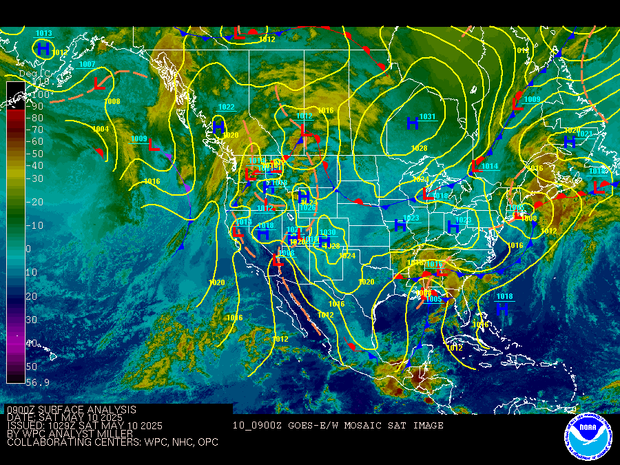
WPC Surface Analysis
|
|
| Weather Models |
Hydrology |
|
Drought Information
Burn Scar/Debris Flow Map
CNRFC Observed Precipitation Map
Flood Safety
|
| |
| Fire Weather Information |
Climate Links |
California Fire Weather
Current Wildland Fires
GEOMAC Fire Perimeter Maps
Fire Weather Glossary |
Local Climate
Climate Summaries - WRCC
NowDATA - Climate Search
Weather History (by Type) |
| |
| Other Links |
|
El Nino Information
Medium & Long-Range Forecasts
NOAA Media Resources
NWS Media Contacts
Societal Aspects of Weather (CSTPR)
Airnow Forecasts
NWS air quality forecasts
South Coast air quality management district
South Coast air quality forecast map
San Diego County Air Pollution Distict
|
Extreme Weather Event Database (NCEI)
NWS Products Mapped
Weather Calculator
Weather Alerts (RSS Feeds)
The Weather Guide (NWS San Diego Products and Services)
Jetstream Online School for Weather
|


