 |
||
 |
||
| Snow falling on the Texas Tech University Campus around 2 pm on Sunday, 16 November 2014. The image is courtesy of KAMC. | ||
| After experiencing highs in the 60s and lower 70s on Saturday (15 November 2014), a strong cold front moved through Saturday night. This front dropped temperatures down into the teens and 20s by Sunday morning, where they stayed through the afternoon hours. The cold temperatures then combined with a quickly approaching upper level disturbance to generate a band of light to moderate snow that swept across the South Plains region during the day Sunday. In advance of the band of snow, many locations did also experience a period of light to moderate freezing drizzle. | ||
 |
||
| Lubbock WSR-88D radar animation valid from 7:12 am to 2:55 pm on 16 November 2014. | ||
| The combination of freezing drizzle and snow along with temperatures well below the freezing mark resulted in widespread slippery roadways. Unfortunately, the slick roadways contributed to numerous traffic accidents and several fatalities between Sunday and early Monday. | ||
 |
 |
|
 |
 |
|
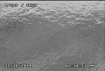
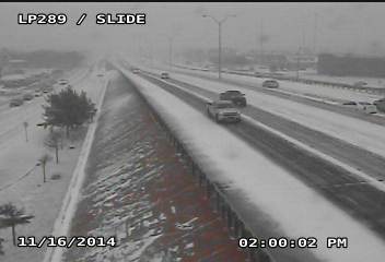
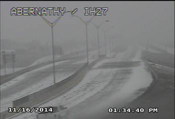
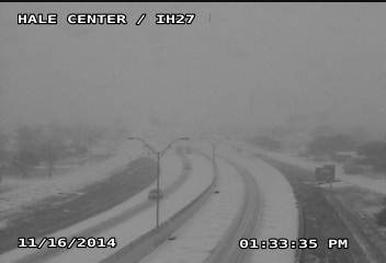
| Pictures of ice and snow around Lubbock (top), Abernathy (bottom-left) and Hale Center (bottom-right) during Sunday afternoon, 16 November 2014. | ||
| The storm system was a quick hitter, with the snow rapidly diminishing from west to east during the late afternoon and early evening hours. Before all was said and done many locations from the central South Plains northward into the southern Texas Panhandle received between a half an inch and a couple of inches, with generally lighter amounts further south. The Lubbock Airport officially recorded 1/2 inch of snow with a liquid water equivalent of 0.06 inches. | ||
 |
||
| Snowfall totals from Sunday, November 16, 2014. The reports are courtesy of the NWS COOP observers. | ||
| Clearing skies, light winds and the fresh snowpack provided ideal conditions for temperatures to plummet Sunday night. Lows by Monday morning (17 November 2014) reached the 10s from Lubbock south and eastward. The Lubbock Airport officially bottomed out at 12 degrees, just a couple degrees shy of the record for the date. Where the heavier snow fell, many locations across the northwest South Plains into the western Texas Panhandle fell into the single digits. A few sites, including near Muleshoe, Friona and Hereford saw lows at or just below 0 degrees. These cold temperatures prevented any snow and ice from the previous day from melting and resulted in a tricky commute Monday morning. | ||
 |
||
| Visible satellite image taken at 10 am on Monday, 17 November 2014. | ||
|
As the above image illustrates, the snow was not limited to the South Plains region but was rather expansive across much of eastern New Mexico into southeast Colorado, western Oklahoma and southern Kansas. The plots below show the extreme fluctuations in temperature that occurred between Saturday afternoon and Monday morning. A summary Public Information Statement (PNS) written for this event by NWS Lubbock can be READ HERE. |
||
|
|
||
|
Toggle High Temperature for Saturday, November 15, 2014
|
Toggle Observations at 10 am CST on Sunday, November 16, 2014
|
Toggle Low Temperatures for Monday, November 17, 2014
|

