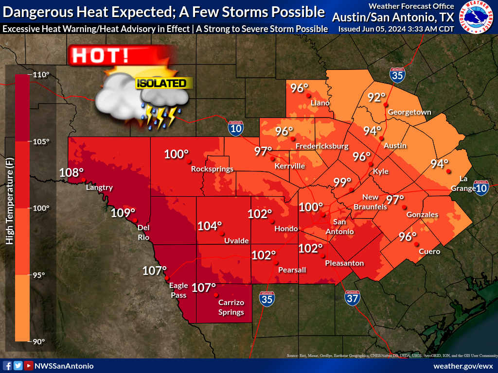
Moderate heat risk impacts continue next week. Maximum temperatures are forecast to reach up to 104°F in some areas, with maximum heat indices climbing as high as 109°F. Remember to stay hydrated and practice heat safety.
Weather patterns forecast by the Climate Prediction Center for this August are tilted towards drier and warmer than normal conditions for South-Central Texas.
August is typically the warmest month of the year for South-Central Texas. The outlook in August 2026 slightly favors drier and warmer than normal conditions for the month.


 Austin/San Antonio Radar
 Weather Map
 Satellite Imagery
 Del Rio Radar
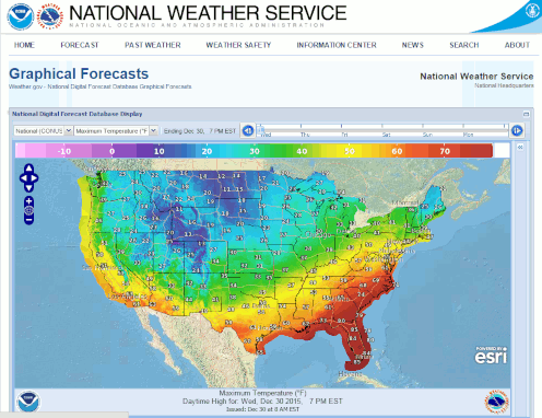 Digital Forecast Map
 Tropical Outlook
 Drought Status
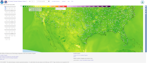 Air Quality
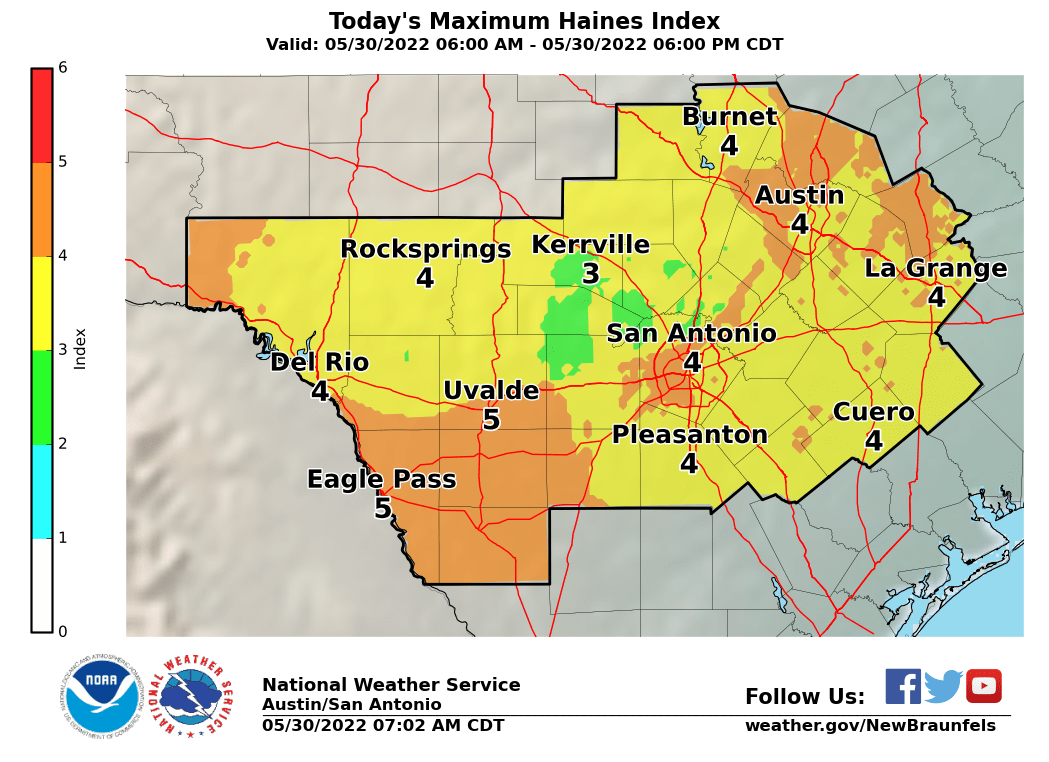 Fire Weather Forecasts
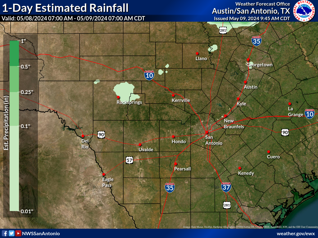 Observed Rainfall
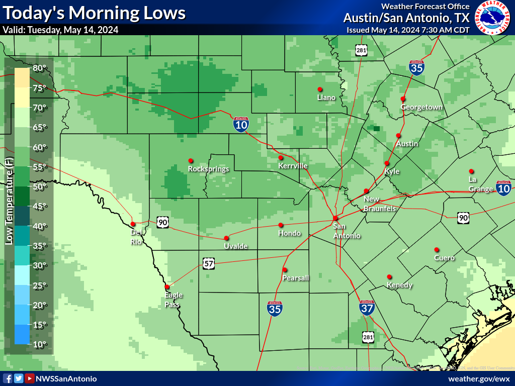 Observed Temperatures
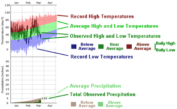 Daily Climate Graphs