Saragossa Tornado...November 10, 2002
The Saragossa Tornado was the fourth tornado to occur in Alabama and the longest track of the severe weather episode. It began in Fayette County, just east of the Sipsey River about 6 miles north-northeast of the city of Fayette at 8:15 pm. The tornado moved northeast, crossing portions of State Routes 102 and 13, and then SR 102 again around Stoddards Crossroads.
The tornado crossed into Walker County at 8:34 pm and traveled through sparsely populated areas of western Walker County. It crossed the interchange of US Highway 78 about 5.5 miles east-southeast of Carbon Hill, and became very strong as it traveled through the Saragossa area. It crossed County Roads 5, 195, and 257, before entering Winston County.
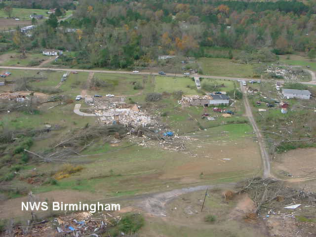
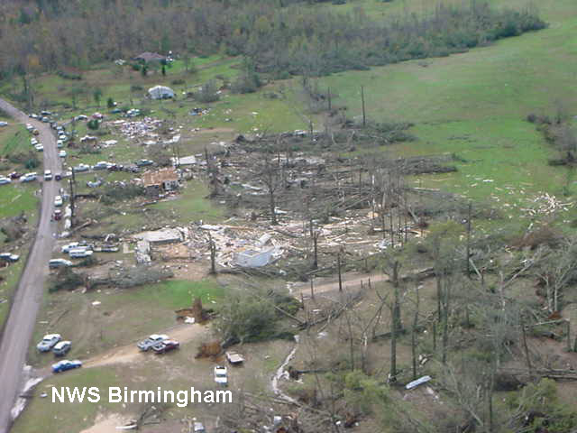
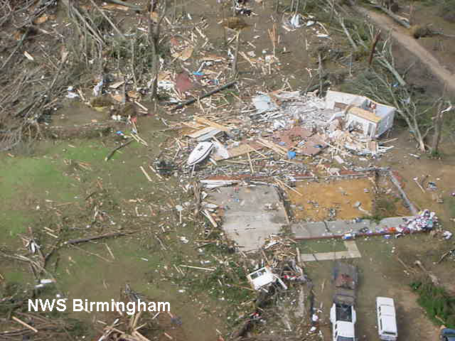
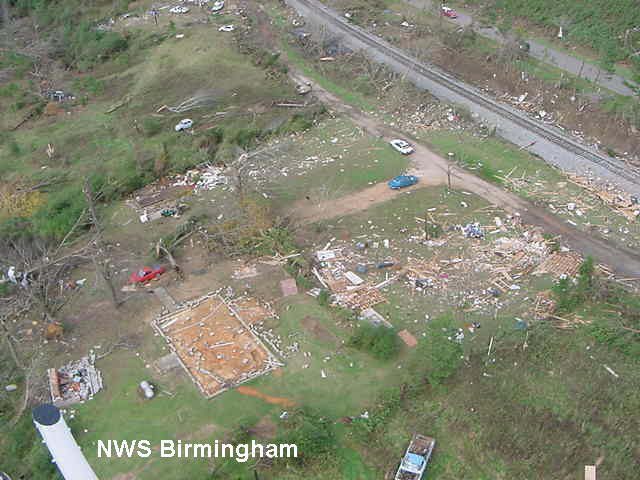
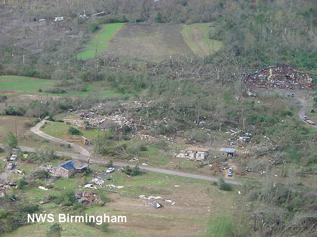
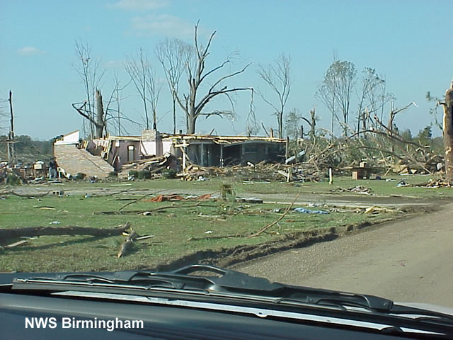
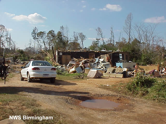
The tornado appeared to be at its most intense during the travel from US 78/SR 118 interchange across Saragossa and the areas near SR 5 and SR 195. Seven deaths occurred in this 10 mile stretch of the tornado track, along with an estimated 40 injuries.
At 9:03 pm the tornado crossed the extreme southeastern tip of Winston County, crossing a part of Smith Lake.
The tornado entered Cullman County at 9:08 pm, moving across portions of Smith Lake and across CR 222. Tornado intensity remained high during the first several miles after it entered Cullman County. Continuing northeast, it crossed Interstate 65 and US 31 just south of Cullman on the southside of the Cullman Golf Course.
The tornado seemed to be significantly less intense as it continued to travel northeasterly toward Holly Pond. Damage from just east of US 31 to just south of Holly Pond was not nearly as intense as it was west of Interstate 65. Traveling through mostly rural areas downing trees and powerlines, and damaging scattered structures along the way, the tornado finally ended just south-southeast of Holly Pond at 9:52 pm,
This was the longest tornado of the outbreak, with a path length of 72.6 miles and a width of 1100 yards. It was the second F3 tornado of the day. Seven deaths were reported with the storm, all in Walker County, along with an estimated 53 injuries along the total path.
Structural damage details are difficult to report since reporting is based primarily by county and not by individual tornado. Based on emergency management and Red Cross data, structures damaged or destroyed in this tornado were approximately 20 in Fayette County, 300 in Walker County, 5 in Winston County, and 164 in Cullman County.
This is also one of the longest tornadoes tracks in recent history. At 72.6 miles in length, this becomes the fourth longest tornado in Alabama since 1950.
Tornado Watch Number 748 was issued at 4:35 pm. A Tornado Warning was issued for Fayette County at 7:54 pm, for Walker County at 8:24 pm, for Winston County at 8:49 pm, and for Cullman County at 8:52 pm.
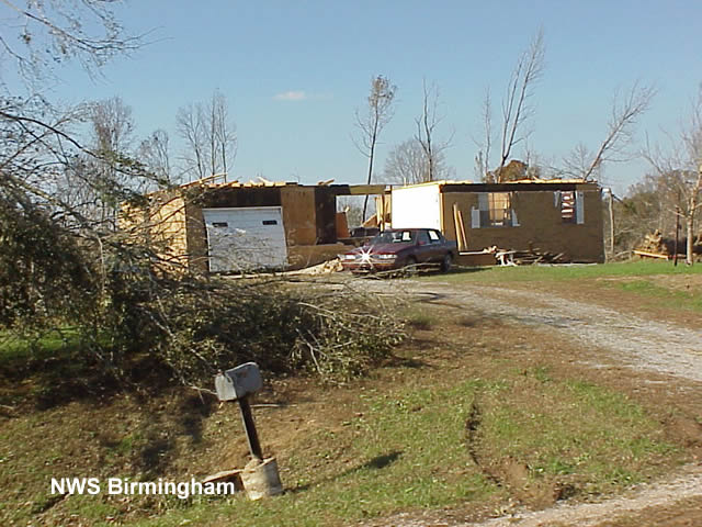
Thumbnail images below link to full sized images. All photos were taken by National Weather Service personnel.
Special thanks goes to the Alabama State Troopers Aviation Unit for their generous assistance in conducting a complete aerial survey.
 |
 |
 |
 |
 |
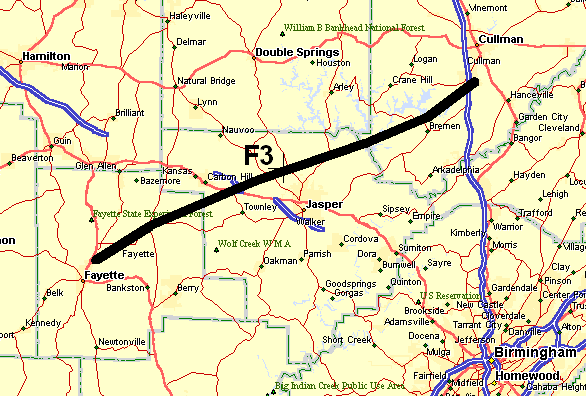 Map of the damage path. |
 |
 |
 |
 |