May 10, 2015
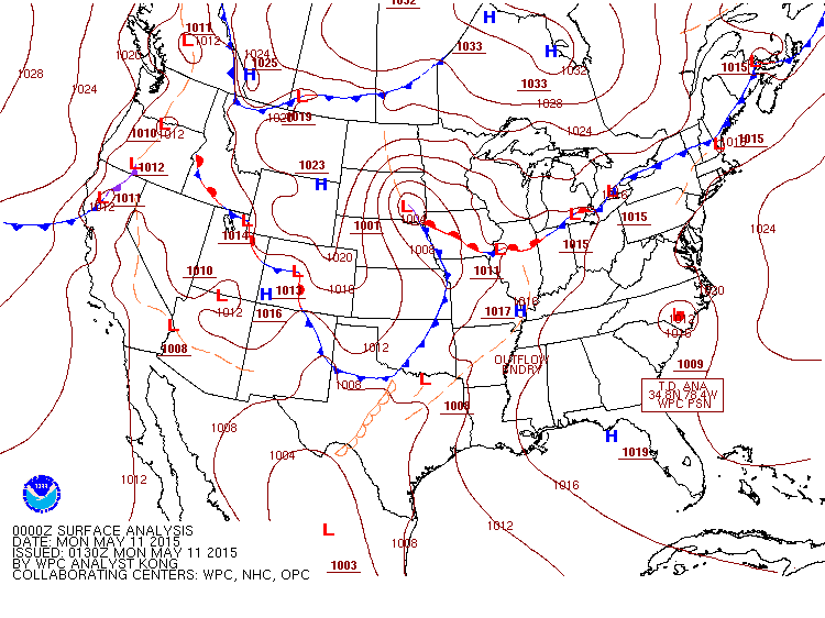
A squall line tracked across portions of central and southeast Illinois during the late afternoon and evening of May 10th, producing sporadic wind damage along and south of a Springfield to Danville line. The storms initiated well ahead of an approaching cold front across eastern Kansas and western Missouri around midday, then tracked steadily northeastward into Illinois later in the day. Widespread cloud cover ahead of the line kept the atmosphere relatively stable for much of the day: however, ample breaks in the overcast allowed temperatures to climb into the upper 70s and lower 80s across central Illinois by mid to late afternoon. These readings combined with surface dewpoints in the middle 60s to produce Convective Available Potential Energy (CAPE) values of 1000 to 1500J/kg. Low-level wind shear remained weak as well, but was quite a bit stronger in the vicinity of a warm front extending from central Iowa into north-central Illinois. Below is a map depicting the weather during the early evening hours. Note the 1004mb low pressure system over southeast South Dakota and the cold front extending southward into central Oklahoma and northern Texas.
As the storms tracked eastward, they only had a limited amount of instability to work with, therefore a widespread damaging wind event did not develop. Instead, individual cells embedded within the line periodically strengthened, creating bouts of locally enhanced winds. General wind speeds associated with the line were in the 40 to 50 mph range, with isolated higher gusts to around 60 mph. The storms impacted the NWS Lincoln County Warning Area (CWA) from 6 PM to about 930 PM before exiting into Indiana. During that time, a few wind damage reports occurred across the area, including a couple trees blown down in Springfield, Mattoon, and Charleston. Several trees and powerlines were blown down on the southwest side of Newton in Jasper County and power poles were toppled in Broadlands in far southeastern Champaign County. Further east, a tree was blown down in Danville and dime-sized hail fell in Georgetown in Vermilion County. Here is a map of the central Illinois storm reports from May 10th.

While the local area only saw widely scattered wind damage from the storms, several tornadoes touched down where instability and wind shear were stronger. Two distinct areas of enhanced storm severity are noted on the damage map below. The first is in the vicinity of the low pressure system across eastern South Dakota into northwest Iowa and a second is further south in conjunction with strong instability and an approaching upper-level disturbance along the trailing cold front across eastern Oklahoma into northeast Texas.


