| Hazardous Weather Products and Tools from the Storm Prediction Center | ||||
 Day 1 Convective Outlook |
 Day 2 Convective Outlook |
 Day 3 Convective Outlook |
||
 Days 4-8 Convective Outlook |
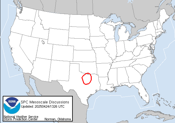 Mesoscale Discussions |
 Current Convective Watches |
||
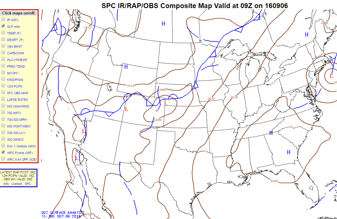 Composite Maps |
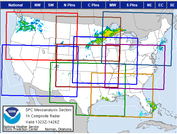 Mesoanalysis Graphics |
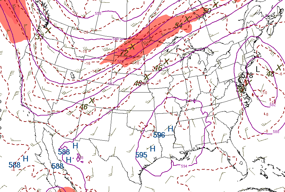 Short-Range Ensemble (SREFs) |
||
| Tennessee Valley Graphical Hazardous Weather Outlook at a Glance | ||||
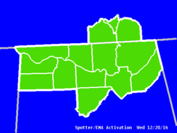 EMA Activation |
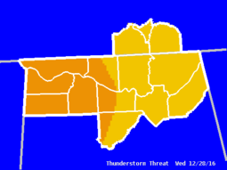 T-Storm Threat |
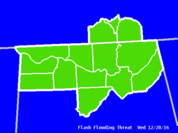 Flash Flood Threat |
||
 Primary Weather Threat |
 Winter Weather Threat |
 Winter Weather Probability |
||
| Storm Reports |
||||
 |
||||
|
National NWS Storm Report Maps
(from the Storm Prediction Center) |
||||
|
Regional NWS Storm Reports
|
||||
| Related Links | ||||
| Experimental XML/RSS Feeds of Watches/Warnings/Advisories - More Information National Severe Storms Laboratory College of DuPage Text Products | Ohio State University Severe Weather |
||||
|
|
||||


 Local Radar
 Weather Map