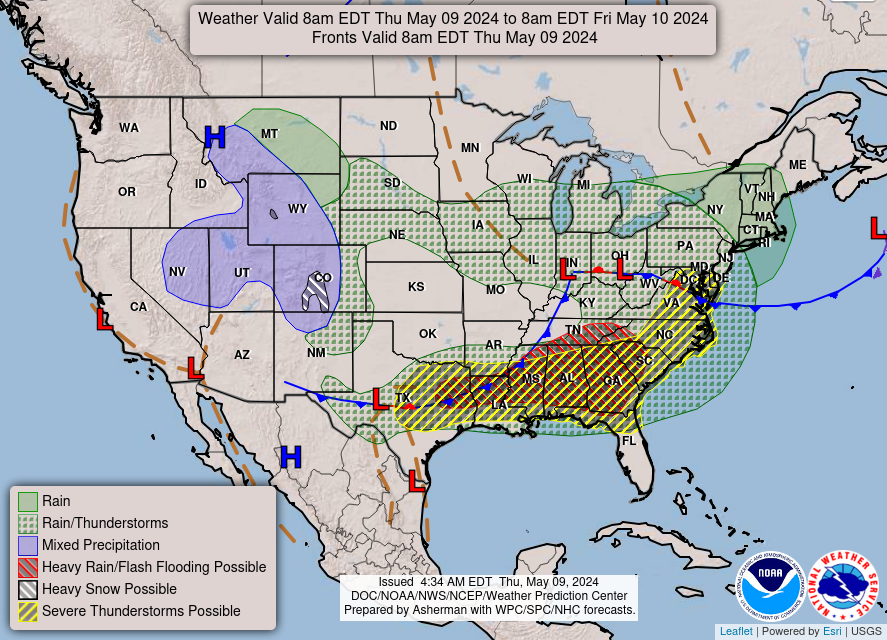
In the Pacific Northwest into northern California, areas of heavy rain for the coastal ranges and heavy snowfall over the higher elevations of the Cascades are expected into Friday. Dry and windy conditions may produce elevated fire weather conditions in the central and southern High Plains and the Upper Midwest. Windy conditions and scattered rain and snow showers will continue in the Northeast. Read More >
Huntsville, AL
Weather Forecast Office
ZCZC MKCSWOMCD ALL;343,0864 403,0825 363,0825 303,0864;
ACUS3 KMKC 182313
MKC MCD 182313

SELS MESOSCALE DISCUSSION FOR ...ERN KY/ERN TN/NERN AND CNTRL
AL/NRN GA...
CONCERNING...SEVERE THUNDERSTORM POTENTIAL...

SVR WX/TORNADO OUTBREAK HAS BEEN IN PROGRESS ACRS PTNS OF THE LWR
OH AND TN VLYS INTO THE LWR MS VLY DURG THE PAST 3 TO 4 HRS. ACTVTY
IS OCRG IN A RGN OF VERY UNSTBL AIR AND STG SPD SHEAR. LTST MDL
DATA FROM THE RAPID UPDATE CYCLE SUGGESTS THAT THE ACTVTY WILL BE
MOVG EWD DURG THE NXT 3 TO 6 HRS EXTDG ALG THE WRN SIDE OF THE
APPALACHIAN CHAIN WITH HELICITY VALUES BTWN 300 AND 400 M2/S2.

WE ARE CURRENTLY MONITORING AREAS FM CNTRL AND ERN AL INTO NRN GA
FOR PSBL WW.

..MCCARTHY.. 05/18/95
US Dept of Commerce
National Oceanic and Atmospheric Administration
National Weather Service
Huntsville, AL
320A Sparkman Drive
Huntsville, AL 35805
256-890-8503
Comments? Questions? Please Contact Us.


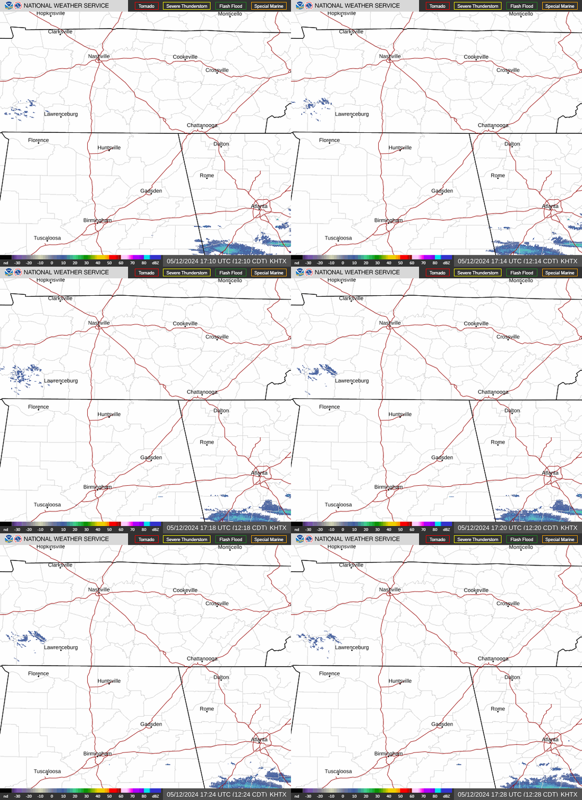
 Local Radar
 Weather Map