|
Marshall and DeKalb Counties (Albertville, Geraldine) A final survey of the storm damage that occurred across DeKalb and Marshall Counties has been completed by the National Weather Service, the Marshall and DeKalb County’s Emergency Management Agencies, and the Alabama Emergency Management Agency. |
||||||||||
|
||||||||||
|
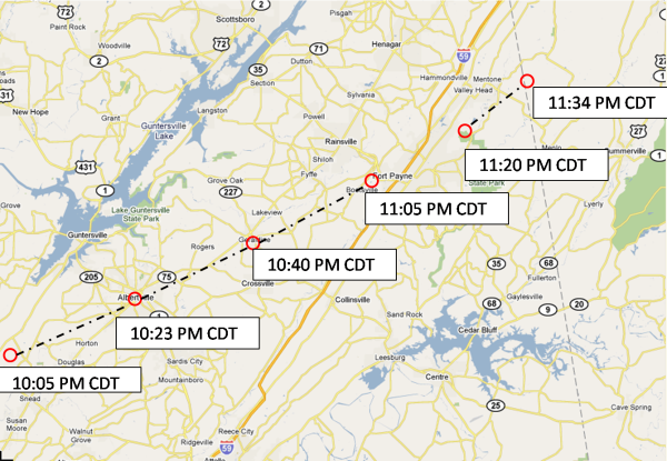
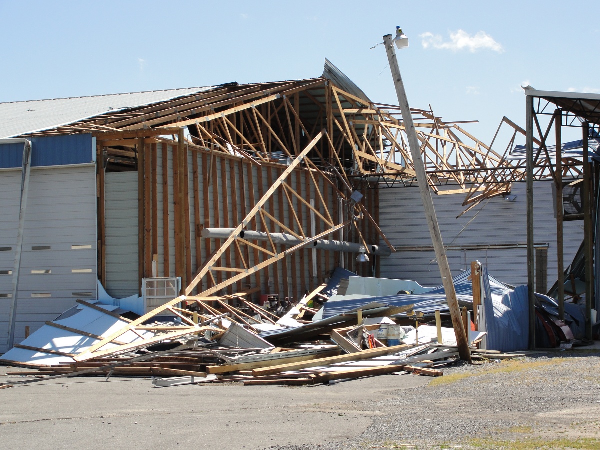
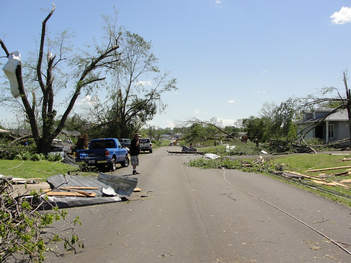
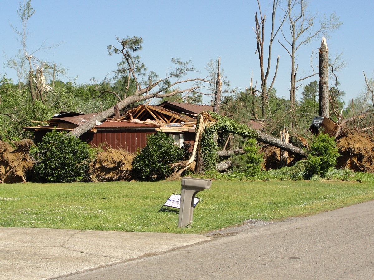
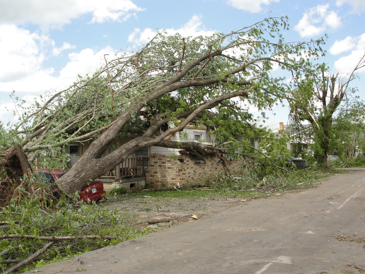
Summary: The tornado touched down 4 miles northeast of Brooksville in Blount county around 9:59 PM CDT. It then moved northeast into southern Marshall county. The most significant and widespread damage along it's path occurred in the city of Albertville between 10:27 PM CDT and 10:40 PM CDT. Damage to numerous residences, the Albertville high school, and several large retail buildings occurred. Extensive tree damage was also observed throughout the damage path. In the town of Geraldine, numerous large trees were snapped or uprooted which also led to some structural damage to residences. This was noted along county road 227 and 52, just southeast of highway 75. The tornado lifted near thePine Ridge community just west of Fort Payne around 11:05 PM CDT. The path length of this tornado is estimated at 41 miles with a maximum path width of 3/4 of a mile. Maximum winds associated with this tornado were 140 mph, which is EF-3 tornado intensity. The map below details the tornado path and timing along certain sections. The same storm produced another tornado of EF-3 intensity further to the northeast in DeKalb County, Alabama and Chattooga County, Georgia (noted by the second segment just south of Valley Head, Alabama). Click on the map for a larger version.
|
||||||||||
|
Radar Data
|
||||||||||
|
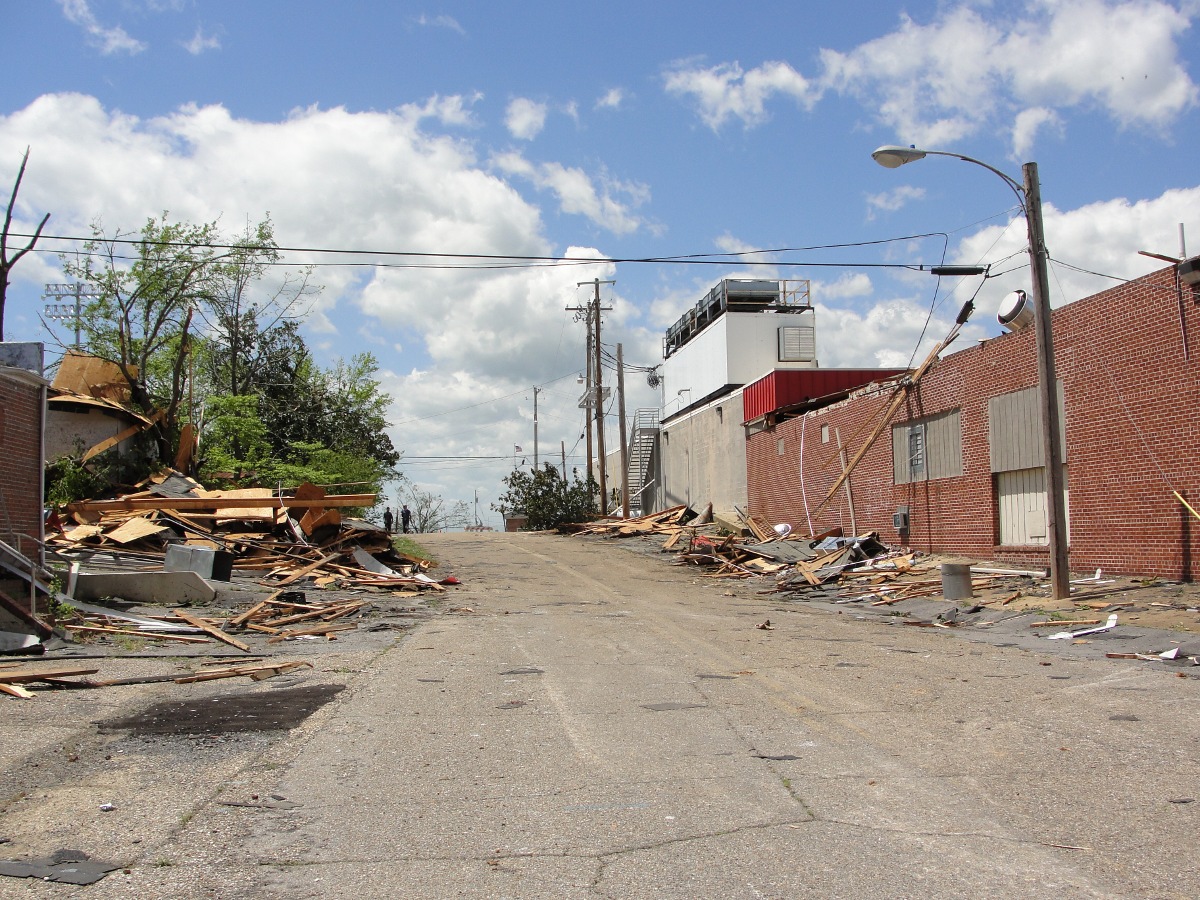
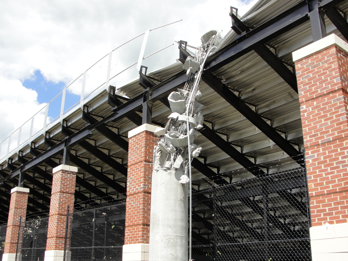
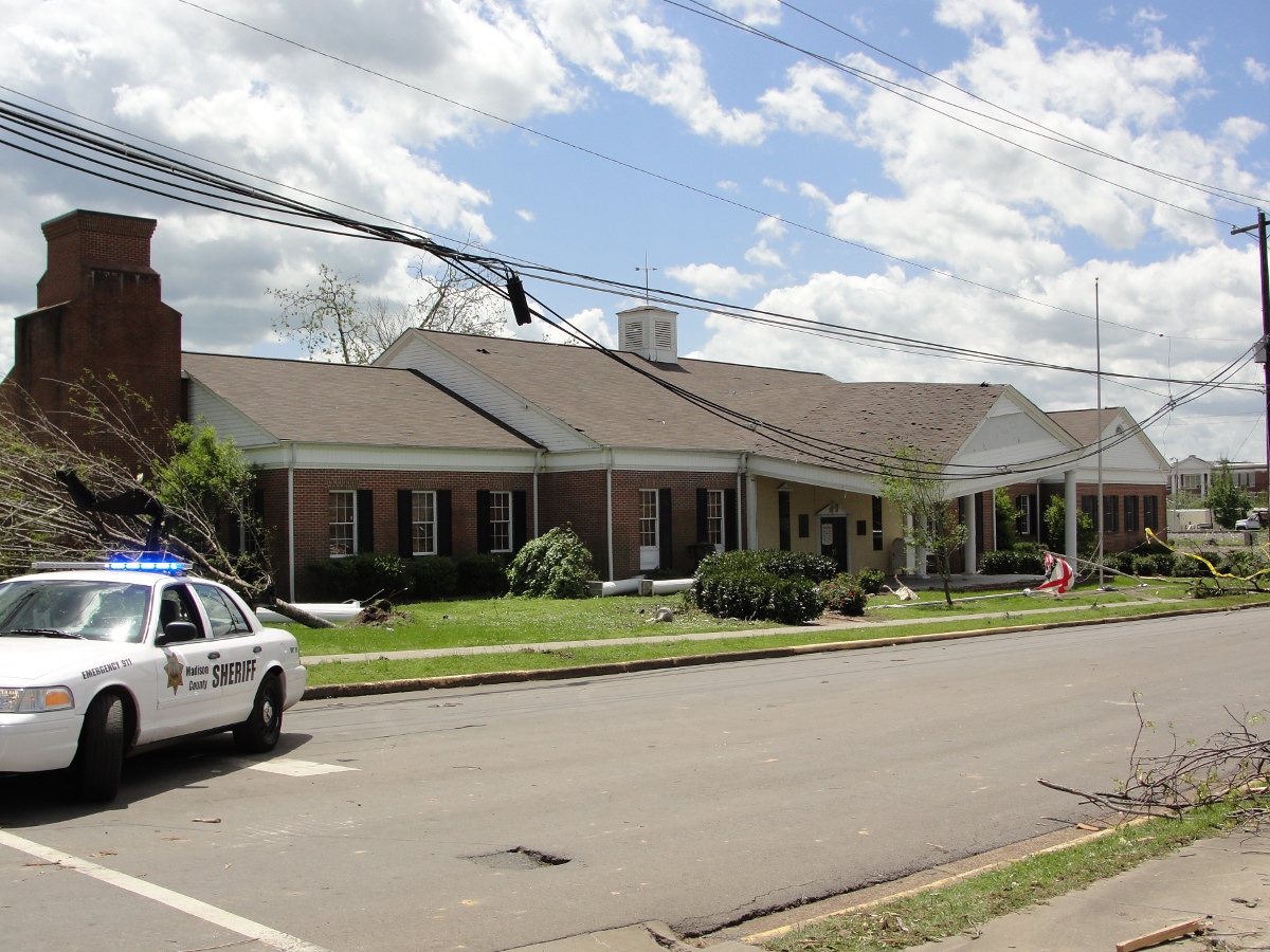
Damage Pictures |
||||||||||
|


 Local Radar
 Weather Map