
A stalled front will continue to bring additional heavy rainfall potential over the next few days across southern Florida, with localized and urban flooding possible. A strong Pacific storm will bring scattered showers and thunderstorms across the Northern Great Basin, the Rockies and into the Southwest through Saturday. Heavy rainfall may result in isolated flash flooding near burn scars. Read More >
Huntsville, AL
Weather Forecast Office
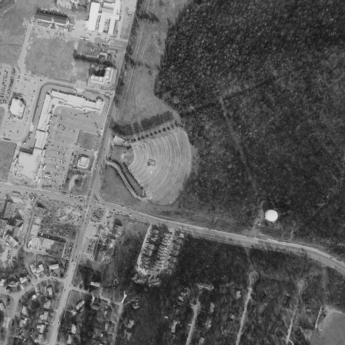 |
| Damage from the Airport Road Tornado, mainly along and just to the east of the Whitesburg Road and Airport Road area to just east of Chancel Drive SE. |
US Dept of Commerce
National Oceanic and Atmospheric Administration
National Weather Service
Huntsville, AL
320A Sparkman Drive
Huntsville, AL 35805
256-890-8503
Comments? Questions? Please Contact Us.


 Local Radar
 Weather Map