 |
|
2017 Winter Events: |
|
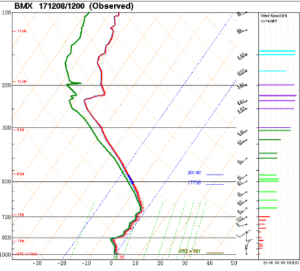
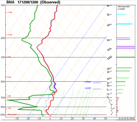
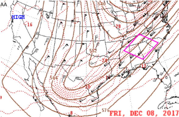
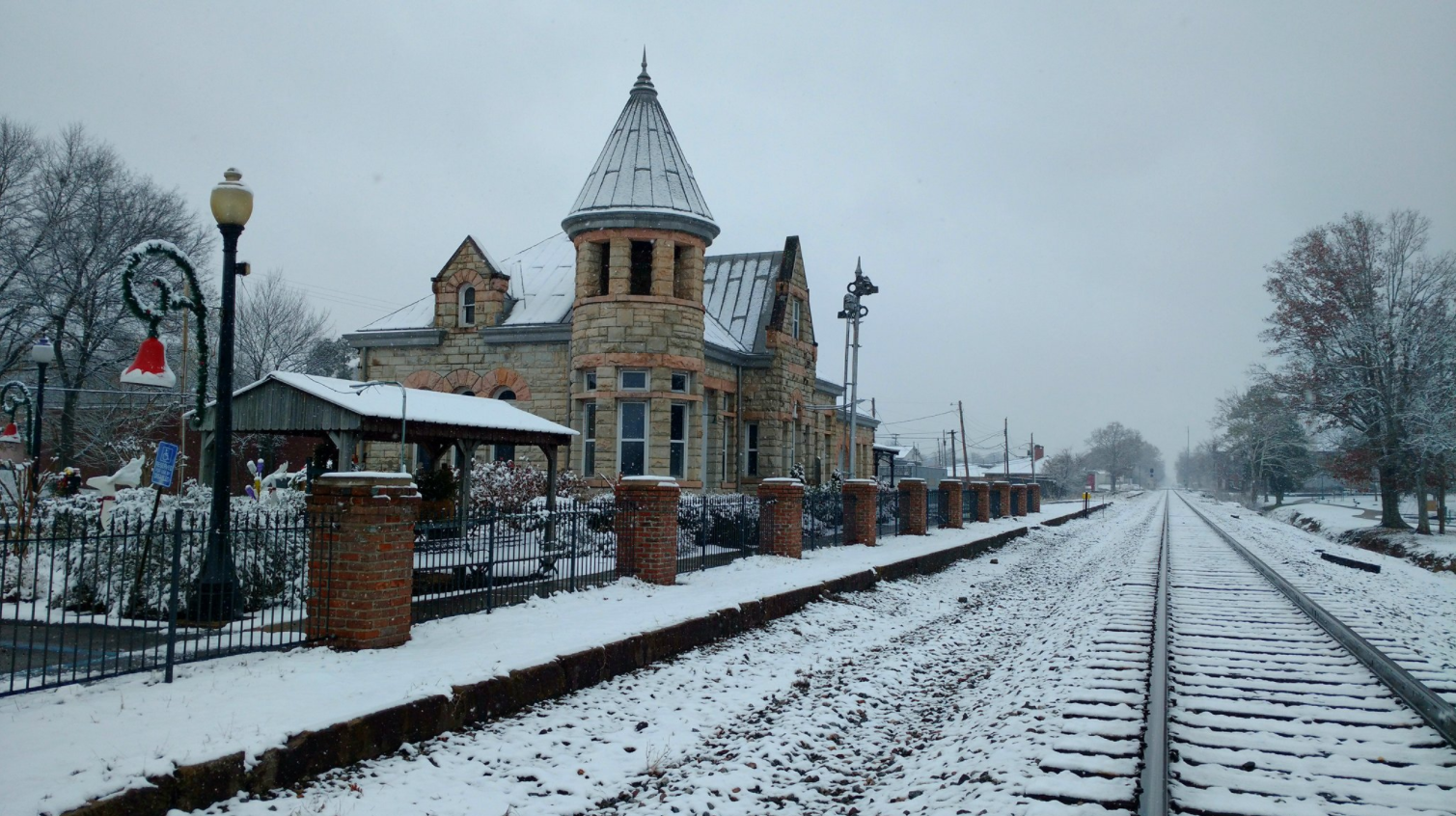
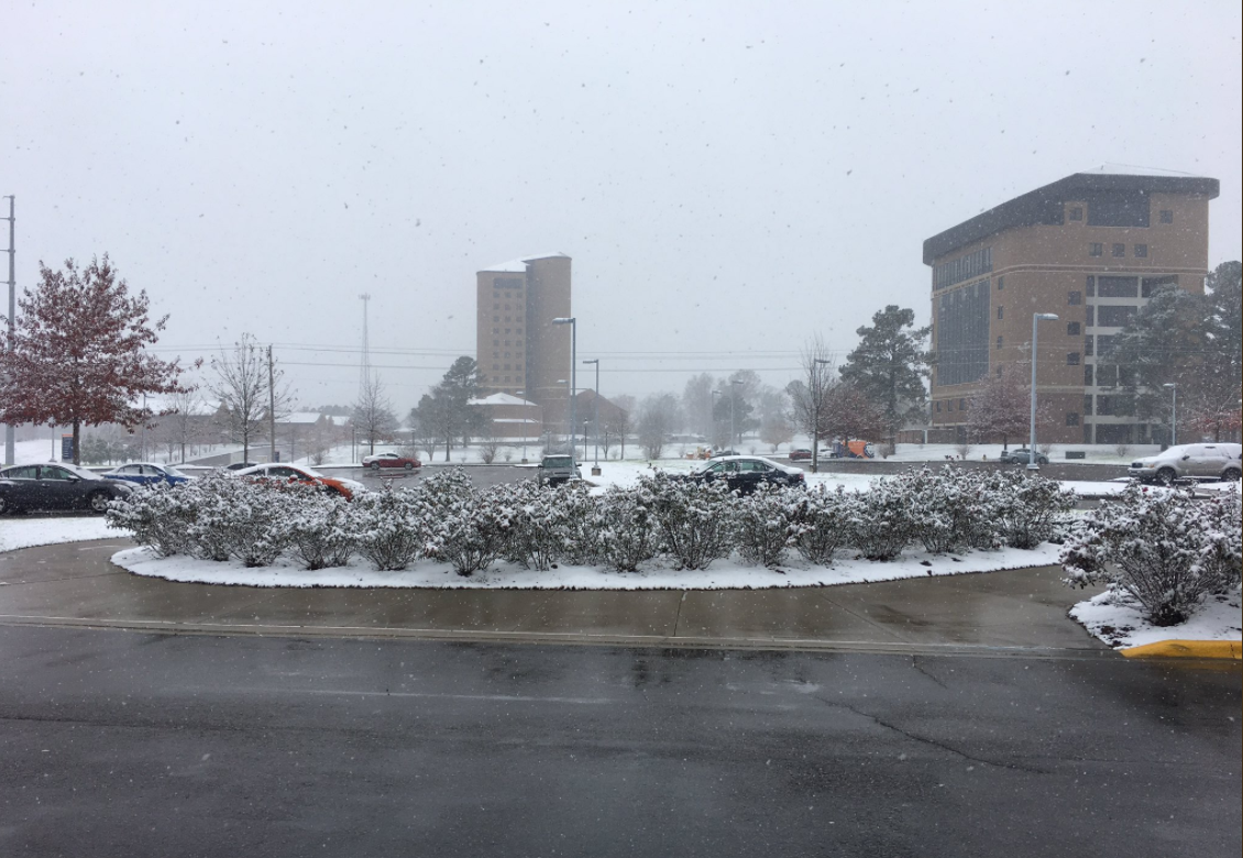
It was a very inactive winter across Northern Alabama and Southern Middle Tennessee as the the months of January, February, and March were characterized by well above normal temperatures. However, on March 13-14th, a weak clipper system brought some subfreezing air into the Tennessee Valley. With a little bit of moisture to work with, a light dusting of snow to around 1/2" of snow was observed on the high terrain of the Cumerland Plateau across Moore and Franklin County, TN and Jackson and DeKalb Counties in far Northeast Alabama. However, the climate sites of Decatur, Muscle Shoals, and Huntsville all reported no snowfall for the winter. In fact, this was the second year in a row where no measurable snow was reported at these three climate sites. As autumn began to transition to winter in late November and early December, a strong cold front brought some colder air into the region. This boundary stalled just to the south of the region along the I-20 corridor in Central Alabama. Meanwhile, a broad upper-trough digging into the Mexican highlands helped to generate some lift over this boundary. Along and just to the east of this trough and frontal boundary, SW flow aloft maintained a steady stream of tropical moisture that advected NE into Central Alabama and the Southern Appalachians from the Bay of Campeche and western tropical Pacific. A large scale band of snowfall which spanned from south Texas east-northeast through the deep South clipped the far southeast counties (Cullman, Marshall, DeKalb) of the HUN CWA during the early morning through afternoon hours on the 8th. Flurries and very light snow continued into the early evening over parts of DeKalb County. Snow amounts ranged from just a trace up to 3 inches (preliminary). A very sharp gradient of moisture/snowfall existed, with areas just north and northwest remaining dry. The snowfall created slick and slushy travel conditions, prompting several schools to either close for the entire day or release early. Dewpoints across much of Northern Alabama and Southern Tennessee were observed to be in the mid teens, while values in Central Alabama and Georgia were in the upper 20s to lower 30s. Note the difference in the soundings from KBMX and KOHX. The drier air eroded precipitation for all but far southern Cullman, Marshall, and DeKalb Counties -- resulting in a most areas receiving very light to no snowfall accumulations. |
December 8, 2017 Snow Event
|
||||||||||||||||||||||||||||||


 Local Radar
 Weather Map