
Severe thunderstorms containing large hail, damaging winds, tornadoes and frequent lightning with heavy rainfall will spread from the Mississippi, Ohio, Tennessee Valleys today then to the East Coast on Monday. Meanwhile, a significant ice storm continues across parts of the Upper Midwest and Great Lakes and Upstate New York and northern New England. For the Southwest, critical fire conditions. Read More >
 |
|||||||||||
| Aviation Observations Before departure, call 1-800-WX-BRIEF for latest weather and file flight plans. |
|||||||||||
| Advisories | Observations | Forecasts | Aviation Info |
| Satellite/Radar Quick Look | Radar and Satellite |
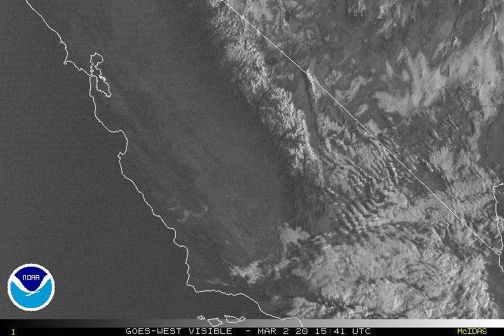
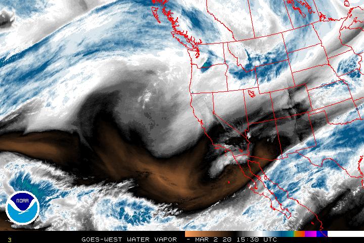
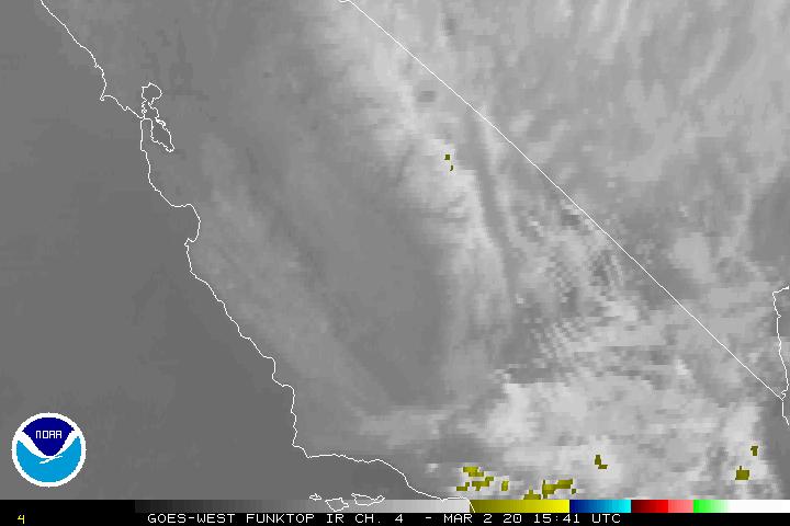 Radar | VIS | IR | WV Flight Category | Radar Summary move mouse over links to change image |
|
| Surface Observations and Weather | Regional Pilot Reports |
|
Database for PIREPS, by State |
| Upper Air Observations | Wind Profilers |
|
|
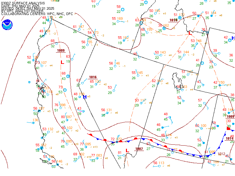
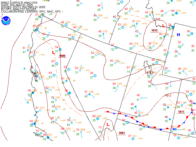
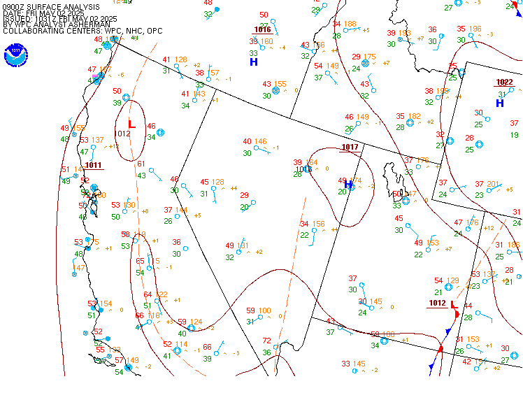
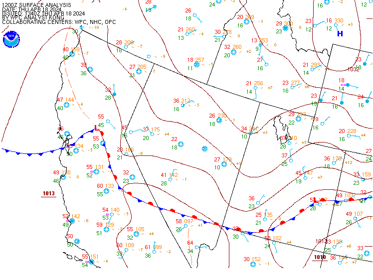
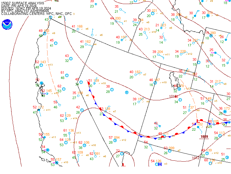
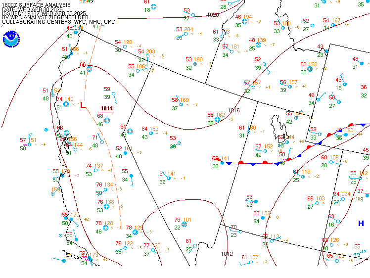
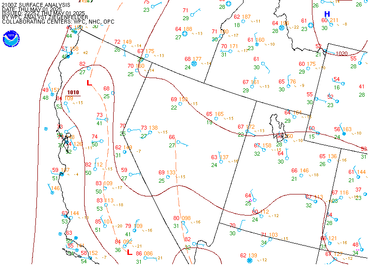
| Current and Recent Central Pacific Surface Analyses |
| For local time, subtract 8 hrs during PST (or 7 hrs PDT) (12Z would be 5 am PDT) | 00Z | 03Z | | 06Z | | 09Z | 12Z | 15Z | 18Z | 21Z | Other Plots Click hour to enlarge, or move mouse over links to change images 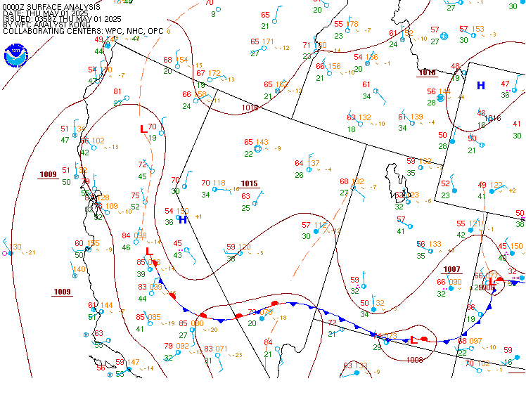 |

