Hot temperatures persist throughout the week, with a gradual downward trend away from 100°F. It will still feel like the 100s though with heat indices mainly in the 102-107°F range. Rain chances remain low (15-20% chance) throughout the work week, with isolated showers and thunderstorms possible in the afternoon.


 Local Radar
 Weather Map
 TX Satellite Imagery
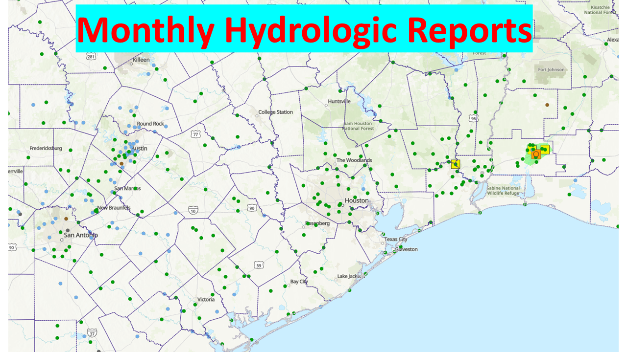 Monthly Hydrologic Reports
 Hurricane Preparedness
 CONUS Satellite Imagery
 Climate Graphs
 Climate Summaries