There is a Marginal Risk of strong to severe thunderstorms on Sunday as a slow-moving front moves into the area. If strong or severe storms develop, strong winds and hail will be the main severe weather hazards. The main window of severe weather will be Sunday afternoon through Sunday night.


 Local Radar
 Weather Map
 TX Satellite Imagery
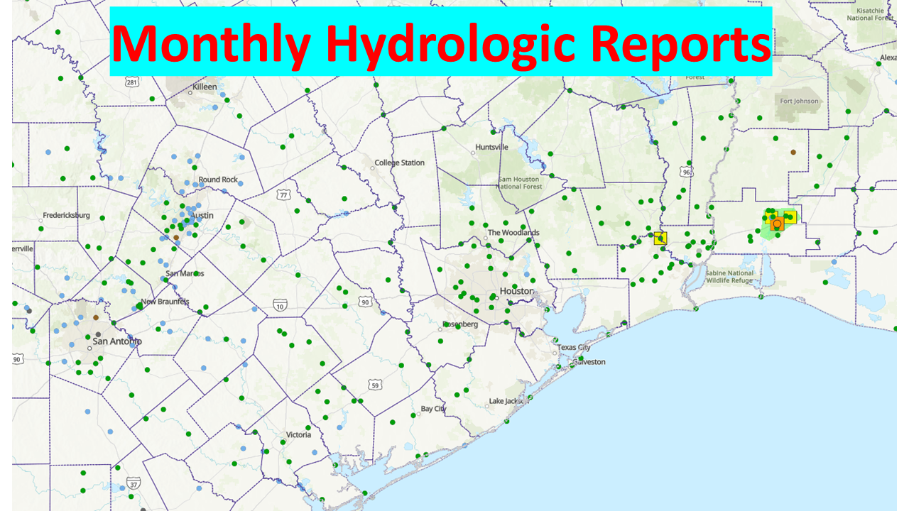 Monthly Hydrologic Reports
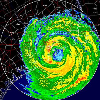 Hurricane Preparedness
 CONUS Satellite Imagery
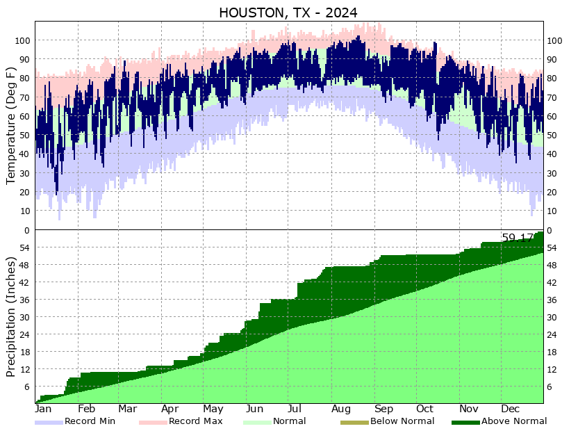 Climate Graphs
 Climate Summaries