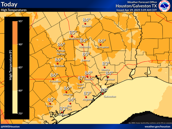
A weak cold front gradually pushes into the region but is expected to stall near the coast in the afternoon. As a result, temperatures north of the front will be in the mid 70s to low 80s and in the mid to upper 80s south of the front. Patchy sea fog persists offshore.


 Weather Map
 TX Satellite Imagery
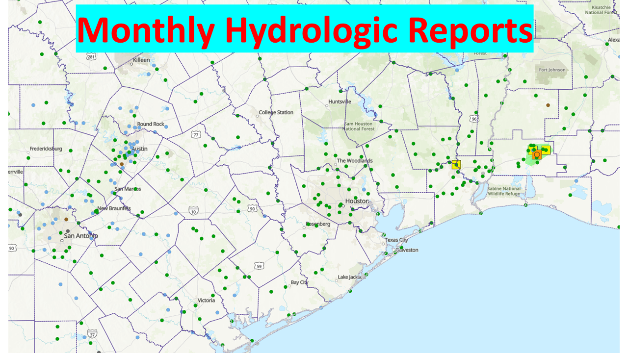 Monthly Hydrologic Reports
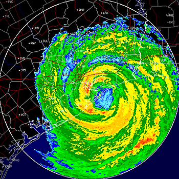 Hurricane Preparedness
 CONUS Satellite Imagery
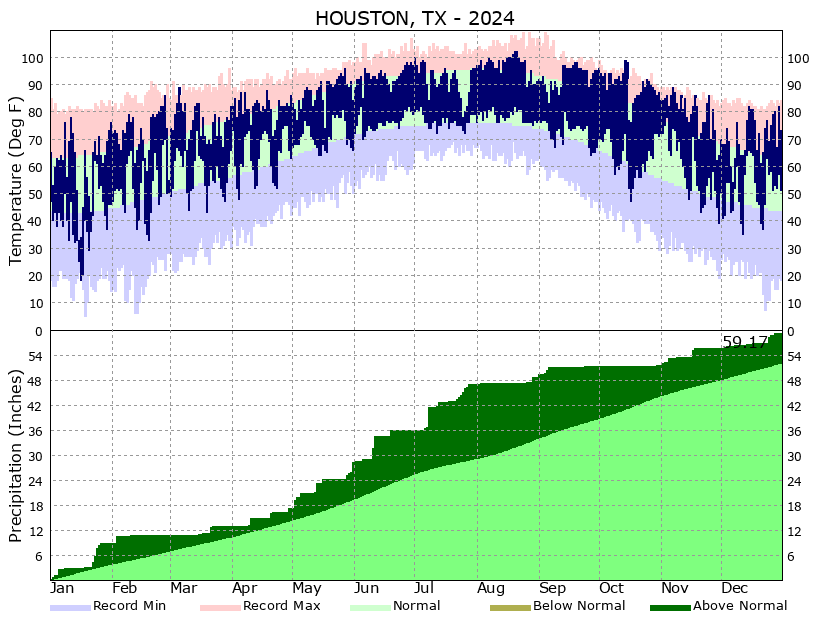 Climate Graphs
 Climate Summaries