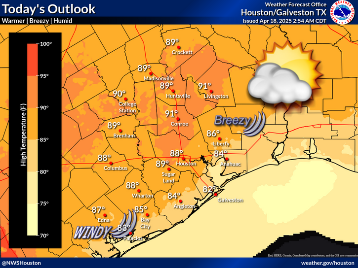
A tropical wave near the Yucatan Peninsula is expected to move northwest over the next several days. A surge of tropical moisture with this disturbance will bring periods of showers and storms across SE Texas next week.
Locally heavy rainfall could occur with any strong storms/downpours across the region, though areas south of I-10 and US-59 will likely receive the highest totals during this period.
Saturated soil conditions from recent heavy rains have made these coastal locations especially prone to runoff. Therefore, WPC has placed these locations within a Slight Risk (Level 2 of 4) of Excessive Rainfall for early next week.


 Local Radar
 Weather Map
 TX Satellite Imagery
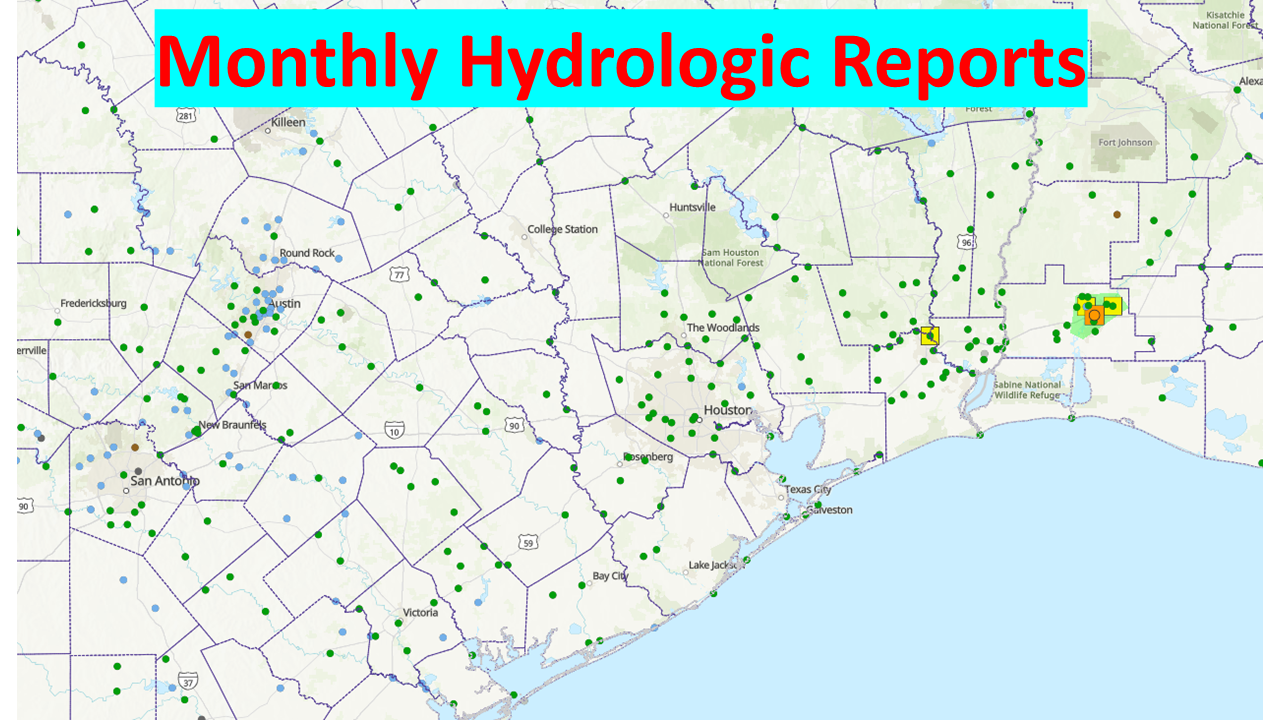 Monthly Hydrologic Reports
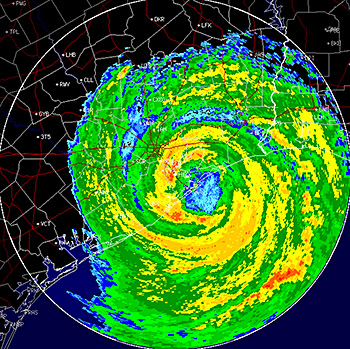 Hurricane Preparedness
 Tropical Atlantic Satellite Imagery
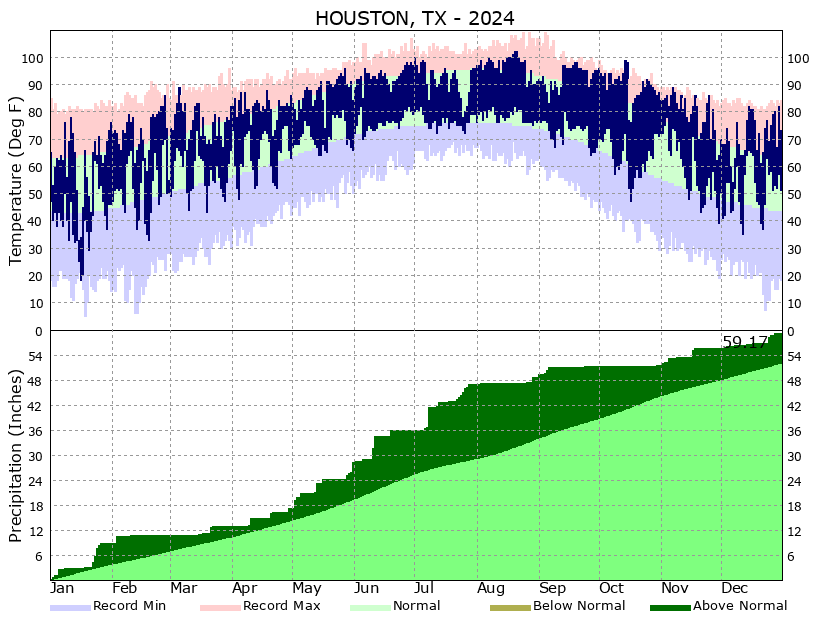 Climate Graphs
 Climate Summaries