National Weather Service United States Department of Commerce

Severe Thunderstorms Across the Central Plains; Hot Conditions in the Southern Plains and Lower Mississippi Valley

Severe thunderstorms are expected mainly from Kansas into northern Missouri and into Iowa Tuesday. Damaging winds will be the most likely threat, with large hail possible. An Enhanced Risk (level 3 of 5) of severe thunderstorms is in effect. Hot conditions will continue across the Southern Plains Tuesday, spreading into the southeast and Mid-Atlantic by Independence Day. Read More >


Hourly Point Forecasts for:


IMPORTANT: The following link is to imagery on servers maintained by the Center for Satellite Applications and Research (STAR), a Division of the National Environmental Satellite, Data, and Information Service (NESDIS). These images are not maintained by WFO Honolulu. If you are experiencing problems accessing these images, contact NESDIS.STAR.Webmaster@noaa.gov

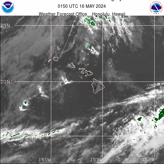
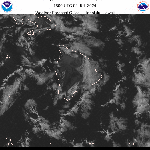
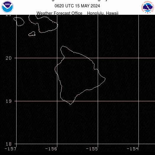
Band 7 Shortwave Window IR loop

Big Island Visible Satellite

Animated GIF loop
Latest Big Island Visible Image

State of Hawaii Infrared Satellite

Animated GIF loop
Latest State of Hawaii Infrared Image


Tropical

Visit hurricanes.gov for the latest on tropical storms


V1.57