Honolulu, HI
Weather Forecast Office
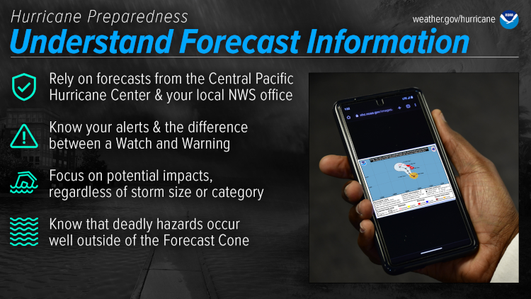
Prepare for hurricane season by knowing how to understand forecasts. They can tell you a lot about what is expected, including the storm’s paths, rainfall amounts, wind speeds, and more. There is a lot of information available days ahead of a storm, and it is important to understand what it means.
https://www.noaa.gov/understand-forecast-information
Central Pacific Hurricane Center: https://hurricanes.gov/cphc
Weather Forecast Office Honolulu: https://weather.gov/hawaii
A watch means conditions are possible and a warning means conditions are expected or ongoing. A Hurricane Watch or Warning means that hurricane conditions are possible or expected. A Tropical Storm Watch or Warning means that tropical storm conditions are possible or expected. Typically a watch will be issued 48 hours before the onset of damaging winds and a warning will be issued 36 hours before the onset of damaging winds.
Other watch/warning/advisory definitions in Hawaii.
NHC video about the cone graphic: how it's created and do's and don'ts about using it. CPHC uses the same method for creating the cone graphics in the Central Pacific.
To help residents prepare in advance of hurricane season, NWS Honolulu will share information on a different topic each day during Hurricane Preparedness Week in Hawaii:
US Dept of Commerce
National Oceanic and Atmospheric Administration
National Weather Service
Honolulu, HI
2525 Correa Rd Suite 250
Honolulu, HI 96822
(808) 973-5286
Comments? Questions? Please Contact Us.


